
























Atmospheric conditions across the subcontinent are set for a noticeable transformation over the next 15 hours. An active western disturbance centered over northern Pakistan has begun exerting its influence on the upper reaches of the Himalayas. This incoming weather system is anticipated to intensify precipitation across the high-altitude zones, bringing heavy snowfall and rain to Jammu, Kashmir, and Ladakh. Simultaneously, another cyclonic circulation stationed over eastern Uttar Pradesh, combined with fresh convective developments taking shape over the Bay of Bengal, is triggering wet weather alerts across several states in the north, east, northeast, and south.
Heavy Snowfall and Gale-Force Winds Projected for Jammu, Kashmir, and Ladakh
Meteorological observations indicate that the western disturbance is persisting as a cyclonic circulation roughly 3.1 kilometers above sea level over north Pakistan and its immediate neighborhood. A trough in the mid-tropospheric westerlies is running alongside this circulation, channeling moisture directly into the northwestern mountainous terrains. Under its direct influence, Jammu, Kashmir, and Ladakh are expected to witness severe weather conditions on 12 November, characterized by localized heavy downpours, widespread thunderstorms, and significant snow accumulations over higher elevations.
Winds in these northern zones are forecast to maintain steady speeds between 40 and 50 kilometers per hour, with intense gusts potentially clocking up to 60 kilometers per hour. The threat of lightning strikes has prompted alerts advising residents to minimize movement in exposed outdoor spaces. This unstable weather phase is not expected to clear immediately. Extensive precipitation is slated to persist across both union territories through 12 and 13 November, followed by sporadic showers on 14 and 15 November as the disturbance gradually weakens.
Precautionary Warnings for Mountain Routes in Himachal Pradesh and Uttarakhand
The impact of this eastward-moving disturbance will also spread into Himachal Pradesh and Uttarakhand. Across Himachal Pradesh, scattered to isolated light precipitation is expected to continue between 11 and 14 November. Thunderstorms accompanied by lightning strikes have been specifically forecast for 12 and 13 November, likely initiating a sharp downward trend in regional day temperatures.
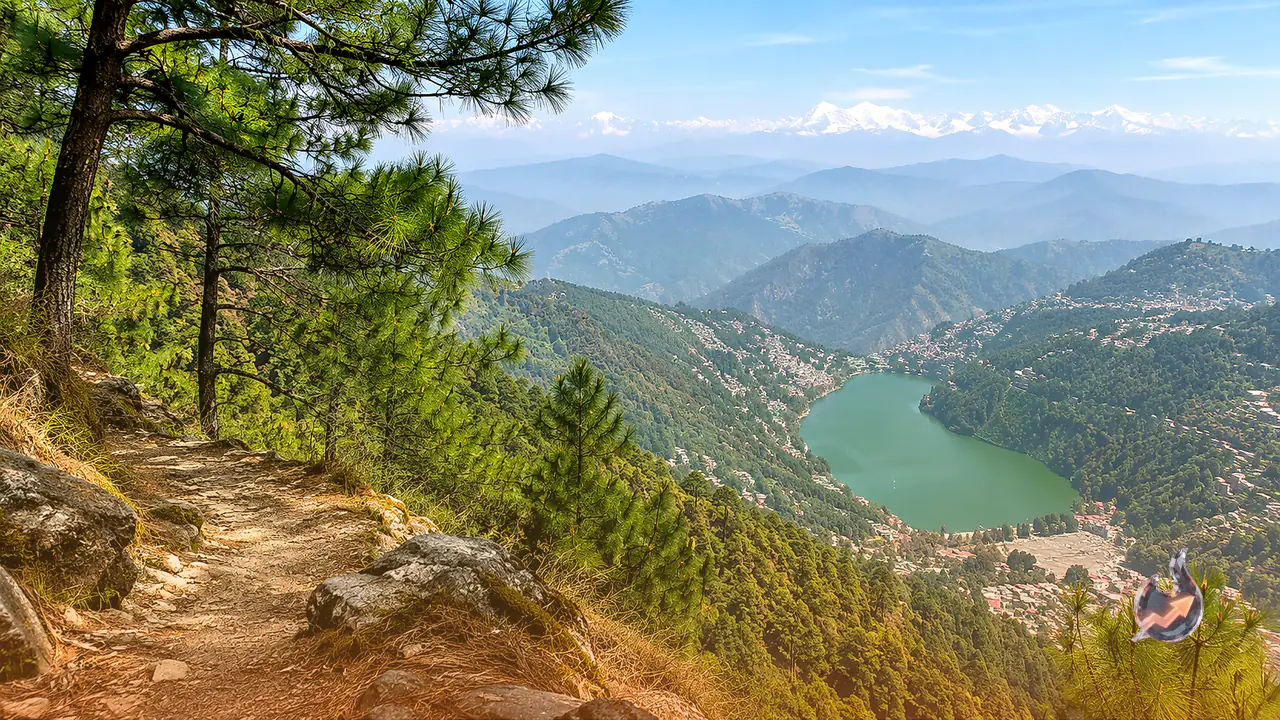
In Uttarakhand, occasional rain and shifting cloud covers are predicted between 12 and 14 November. While meteorologists have not issued severe alerts for hailstorms or torrential cloudbursts in the state, travelers and motorists moving across high-altitude mountain corridors have been cautioned to proceed with care. Fresh precipitation across winding hill terrains frequently leads to slippery road surfaces and compromised sightlines, requiring defensive driving practices.
Delhi and Surrounding Plains to Experience Morning Mist and Overcast Skies
The plains of northwest India, including the national capital of Delhi and the wider metropolitan region, will remain largely shielded from direct downpours linked to the western disturbance on 12 November. However, the system will noticeably modify local atmospheric clarity. The forecast predicts shallow fog and mist settling over the capital during the early morning hours, which could briefly hinder visibility along major roadways and transit networks.
Commuters heading to work during early transit hours are advised to drive cautiously to prevent road mishaps in foggy pockets. As the day unfolds, the sky over Delhi is anticipated to stay partly cloudy. While no high-intensity rain or squall warnings are currently in place for the capital territory, elevated humidity levels combined with cooler morning breezes will mark a steady seasonal shift toward winter conditions.
Cyclonic Circulation Over Eastern Uttar Pradesh and Outlook for Bihar and Jharkhand
Away from the northern mountains, an independent atmospheric circulation continues to govern conditions across eastern India. An upper-air cyclonic circulation is positioned at an altitude of approximately 3.1 kilometers above mean sea level over the eastern sector of Uttar Pradesh. Extending from this circulation, a trough line stretches across Jharkhand, Gangetic West Bengal, and Odisha, terminating over the northwestern waters of the Bay of Bengal.
Despite the presence of this trough line, Bihar is likely to experience predominantly dry and sunny weather on 12 November, allowing regular agricultural and daily pursuits to continue undisturbed. In Jharkhand, the passage of the trough overhead will cause intermittent cloud cover throughout the day. Nonetheless, the region remains free from severe storm or heavy rainfall warnings for Thursday, pointing to mostly benign outdoor conditions.
Rainfall Activity Across Northeastern States and Fresh Surge Ahead
The northeastern corridor is also gearing up for an unsettled weather phase. Widespread clouds are expected to yield isolated to scattered rainfall across Arunachal Pradesh, Assam, and Meghalaya on 12 November. Concurrently, lighter showers are anticipated over parts of Nagaland, Manipur, Mizoram, and Tripura during the same period.
This wet phase over the northeast is projected to intensify further later in the week. Fresh surges of atmospheric moisture are forecast to trigger a renewed spell of rainfall across various northeastern pockets between 15 and 17 November, helping bring down daytime temperatures and introducing an early winter chill to the valleys.
Heavy Downpours in Tamil Nadu and Emerging Depression in the Bay of Bengal
Southern peninsular India continues to witness robust precipitation cycles driven by tropical systems. In Tamil Nadu, Puducherry, and Karaikal, scattered to fairly widespread showers will persist from 11 to 14 November. A severe weather alert has been sounded for 12 November, warning of lightning activity and isolated heavy rainfall across Tamil Nadu and adjacent tracts, with rainfall coverage projected to broaden considerably by 15 November.
Kerala and Mahe are similarly lined up for scattered showers between 12 and 15 November, accompanied by lightning warnings on 12 November. Over Lakshadweep, an extended wet spell is slated to stretch from 12 through 17 November. Coastal Andhra Pradesh, Yanam, and Rayalaseema are also on track for fresh rainfall between 14 and 17 November. Meanwhile, marine monitors are closely tracking a developing circulation over the Bay of Bengal that carries the potential to intensify into a depression, promising continued weather volatility along coastal belts.