



















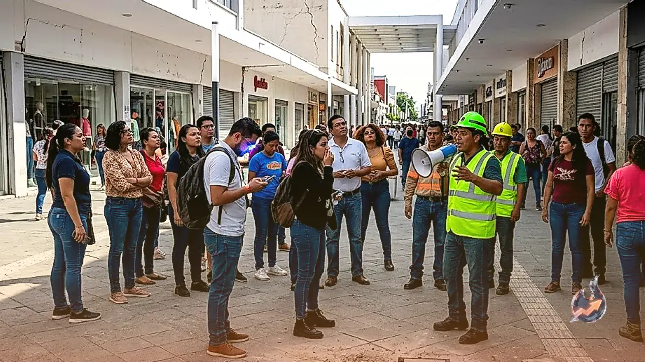

A powerful magnitude 7.3 earthquake tore through the seabed off Mexico's southern Pacific coast on Friday, triggering a tsunami warning across parts of the Pacific and sending residents rushing out of buildings from southern Mexico to El Salvador. Despite the size of the tremor, authorities in Mexico and Guatemala reported no deaths and no major structural damage by Friday, even as coastal communities braced for possible waves.
Where and when the quake struck
The quake was centred close to Puerto Madero, a small fishing town on Mexico's Pacific coastline near the border with Guatemala, and struck at 08:49 local time (14:49 GMT) on Friday. The United States Geological Survey put its depth at just 15.2 km (9 miles). A quake this shallow releases its energy closer to the surface, which is part of why the shaking was felt across such a wide stretch of Mexico, Guatemala and El Salvador, rattling buildings hundreds of kilometres from the epicentre.
A seismically restless stretch of coastline
Mexico's Pacific coast sits along one of the most active fault systems in the world, part of the wider belt of volcanoes and fault lines that rings the Pacific Ocean. Large, shallow earthquakes along this coastline routinely raise the possibility of a tsunami, because the shaking can displace enormous volumes of seawater directly above the rupture, sending waves racing toward the shore within minutes. That is exactly what happened on Friday, even though the resulting waves stayed small and no destructive surge reached land.
Tsunami warning issued, then called off
Within minutes of the quake, the US Tsunami Warning System cautioned that "hazardous tsunami waves" could hit the nearby coasts of Mexico and Guatemala. The warning was not misplaced: instruments later measured waves of 0.3m (1.1 feet) above the normal tide level at both Puerto Madero and in Chiapas. The surge lasted 12 minutes at Puerto Madero and 28 minutes at Chiapas before subsiding, confirming that the earlier alert had been well founded even if the outcome was mild.
Several hours after the initial alert, the tsunami centre said the threat had passed, though it urged residents in the affected areas to stay watchful and take normal precautions near the coast.
Mexican officials describe limited impact
Speaking at a press conference, Mexico's navy secretary, Admiral Raymundo Morales, said there had been "no serious impact" from the earthquake, though he advised people to stay away from beaches as a precaution while the tsunami threat was being assessed by monitoring agencies.
Salomón Jara Cruz, governor of the southern state of Oaxaca, said the quake was felt with "moderate intensity" in his state but that no significant damage had been reported there. Eduardo Ramírez, governor of Chiapas, the state closest to the epicentre, gave a similar assessment, saying there had been no serious impact. Even so, he instructed his cabinet to suspend administrative activities for the day and urged private businesses across the state to do the same, a precaution aimed at keeping people away from vulnerable buildings and coastal areas while aftershocks continued to be recorded through the day.
Buildings shaken, residents evacuated in Guatemala and El Salvador
The tremor was strong enough to shake buildings in both Guatemala and El Salvador, triggering evacuations and sending some residents running out of their homes as the ground moved beneath them.
Guatemala's President Bernardo Arévalo said the country's emergency management agency had been deployed after a separate magnitude 5.6 earthquake struck with its epicentre in Quetzaltenango. He said no fatalities had been recorded from that quake so far. He appealed for calm in a post on X: "I call on the population to remain calm and to follow the recommendations."
A string of aftershocks
The main shock was followed by a series of aftershocks with magnitudes ranging between 4.7 and 6, a reminder that the fault system remained active for hours after the initial rupture and kept both seismic monitors and coastal residents on alert through the day.
Wider tsunami forecast across the Pacific coastline
The US National Oceanic and Atmospheric Administration, which operates the tsunami warning centre, forecast waves of less than 0.3m above tide level along the coastlines of El Salvador, Colombia, Costa Rica, Ecuador, Nicaragua, Panama, Peru and Honduras, a sign that the threat, while real, was expected to stay well short of the destructive tsunamis that have struck the Pacific in the past.
The agency explained that a tsunami is not a single wave but a series of them, with the gap between crests ranging anywhere from five minutes to an hour, and that the danger can persist for many hours after the first wave reaches shore. That is why officials continued to urge caution even after the largest waves had already passed. The agency warned bluntly that "persons caught in the water of a tsunami may drown, be crushed by debris in the water, or be swept out to sea."
The agency added that government bodies in the threatened coastal areas should instruct at-risk populations on the appropriate safety measures, and advised residents in those zones to keep watching for updates and follow guidance from national and local authorities.
No casualties confirmed as monitoring continues
Hours after the quake, no deaths and no major damage had been confirmed in Mexico, Guatemala or El Salvador, even though the tremor was strong enough to empty buildings and trigger a region-wide tsunami alert. Officials in the affected states said they would keep monitoring the situation as aftershocks continued and coastal residents were told to stay cautious near the water in the days ahead.