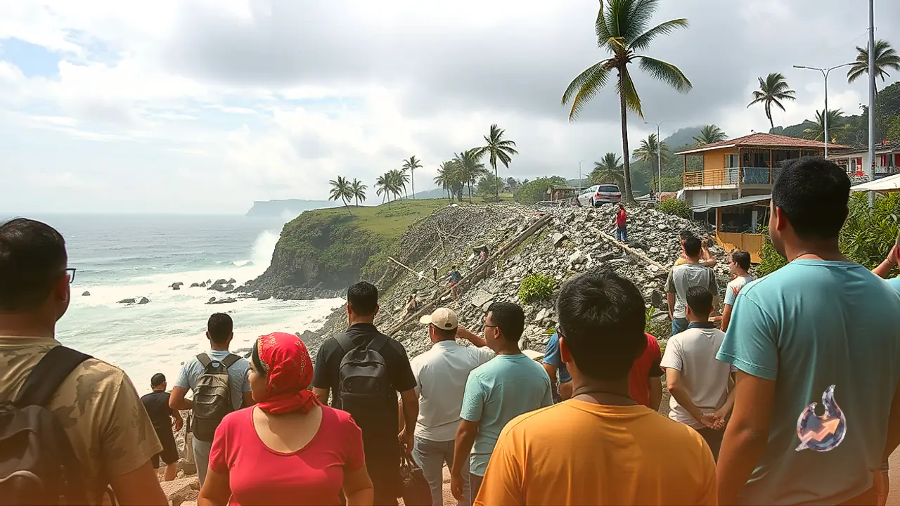
























A massive earthquake measuring 7.7 on the Richter scale struck off the eastern coast of Indonesia early Saturday morning, causing widespread panic across coastal communities. In response to the powerful underwater shaking, official meteorological authorities promptly issued an urgent tsunami warning for vulnerable shoreline regions. Residents living near beaches and river banks have been instructed to evacuate immediately and seek refuge on higher ground. Videos shared across social media platforms depicted tall buildings and residential structures swaying dramatically during the tremors. Although no immediate casualties or severe structural collapse were confirmed in the initial hours following the event, disaster management officials fear substantial damage once remote areas are inspected.
Epicenter Details and Seismic Timeline
Data provided by the United States Geological Survey indicates that the main magnitude 7.7 earthquake occurred at 5:58 AM local time on Saturday. The quake was located at a shallow depth of just 10 kilometers beneath the seabed in the Flores region. Geographically, the epicenter was positioned roughly 68 kilometers north-northwest of Ende city, situated within the East Nusa Tenggara province. Because the tremor originated so close to the surface, the kinetic energy transferred directly to the earth's crust, amplifying the violence of the ground movement across a broad radius.
The main shock was part of a complex seismic sequence that began earlier in the morning with multiple pre-shocks and aftershocks beneath the Flores Sea. According to national earthquake monitoring networks, the initial significant quake registered a magnitude of 7.4 at a depth of 49 kilometers at 3:28 AM Indian Standard Time (IST). Shortly thereafter, at 3:43 AM IST, a second tremor of magnitude 6.3 was recorded at a depth of 63 kilometers in the marine waters separating Flores and Sulawesi islands. A third shock measuring 6.0 occurred at 3:58 AM IST at a depth of 42 kilometers, building up to the most severe 7.7 magnitude tremor recorded at 5:58 AM.
Tsunami Alert and Regional Vulnerability
Following the severe marine disturbance, Indonesia's Meteorological, Climatological and Geophysical Agency issued an emergency tsunami broadcast. The agency cautioned citizens that shallow ocean floor ruptures have a high probability of displacing massive volumes of water, generating dangerous coastal waves. Local emergency responders immediately mobilized to guide coastal inhabitants away from vulnerable estuaries and marine fronts toward elevated inland terrain.
Comprising an expansive archipelago of roughly 17,000 islands, Indonesia occupies one of the most tectonically unstable geography zones on Earth. The country lies directly along the Pacific 'Ring of Fire', an arc of frequent seismic activity where major tectonic plates converge and collide. As a result, the region routinely experiences heavy earthquakes and volcanic eruptions. In a related context of global seismic monitoring, minor tremors were also recorded across various regions in India on Friday, though those shocks were of negligible intensity and caused no damage.
Scientific Analysis: Why Shallow Earthquakes Pose Greater Risk
Seismologists classify earthquake hypocenters based on their focal depth, which can range from right beneath the surface down to nearly 700 kilometers deep. The United States Geological Survey divides these events into three distinct depth categories: shallow, intermediate, and deep. Earthquakes occurring between 0 and 70 kilometers below the surface fall into the shallow classification.
Shallow earthquakes are inherently far more destructive than deep-seated events. When a fault ruptures near the surface, as seen in this 10-kilometer deep Flores event, the resulting seismic shockwaves have a much shorter distance to travel before encountering human infrastructure. Consequently, the waves retain maximum energy and momentum when they hit the surface, inducing intense ground acceleration. This violent shaking dramatically increases the likelihood of structural failure in buildings, bridges, and roads, making shallow quakes the primary cause of earthquake-related casualties worldwide.