























A powerful earthquake measuring 6.7 on the Richter scale struck the southern Andes mountain region of Peru around 1:00 PM local time on Thursday. Data from the United States Geological Survey (USGS) placed the epicenter approximately 38 kilometers northwest of Upahuacho town in Parinacochas province, within the Ayacucho region. The tremor was generated at a depth of 66.7 kilometers beneath the surface. Strong shaking was felt across several southern territories of the country, including the regions of Ica and Arequipa. Despite the high magnitude, initial administrative assessments confirmed no immediate large-scale loss of life or severe infrastructure collapse.
Focal Depth Mitigates Surface Destruction
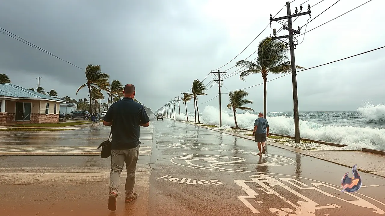
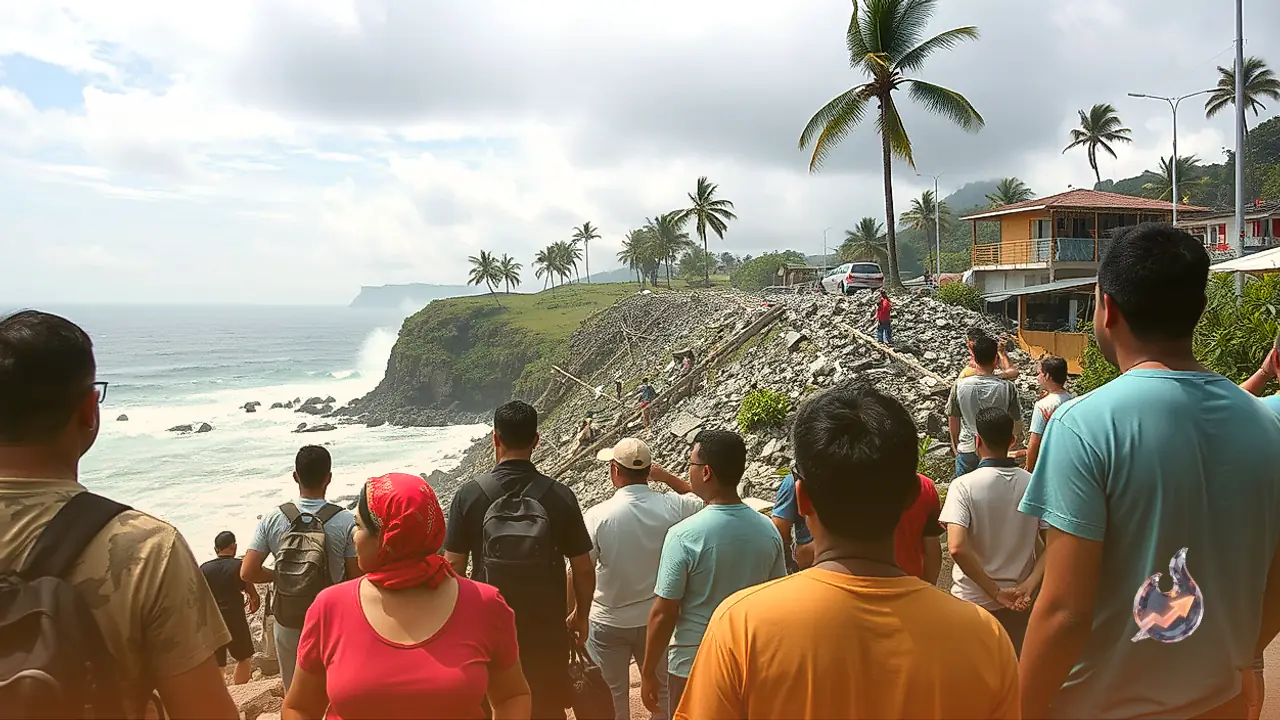
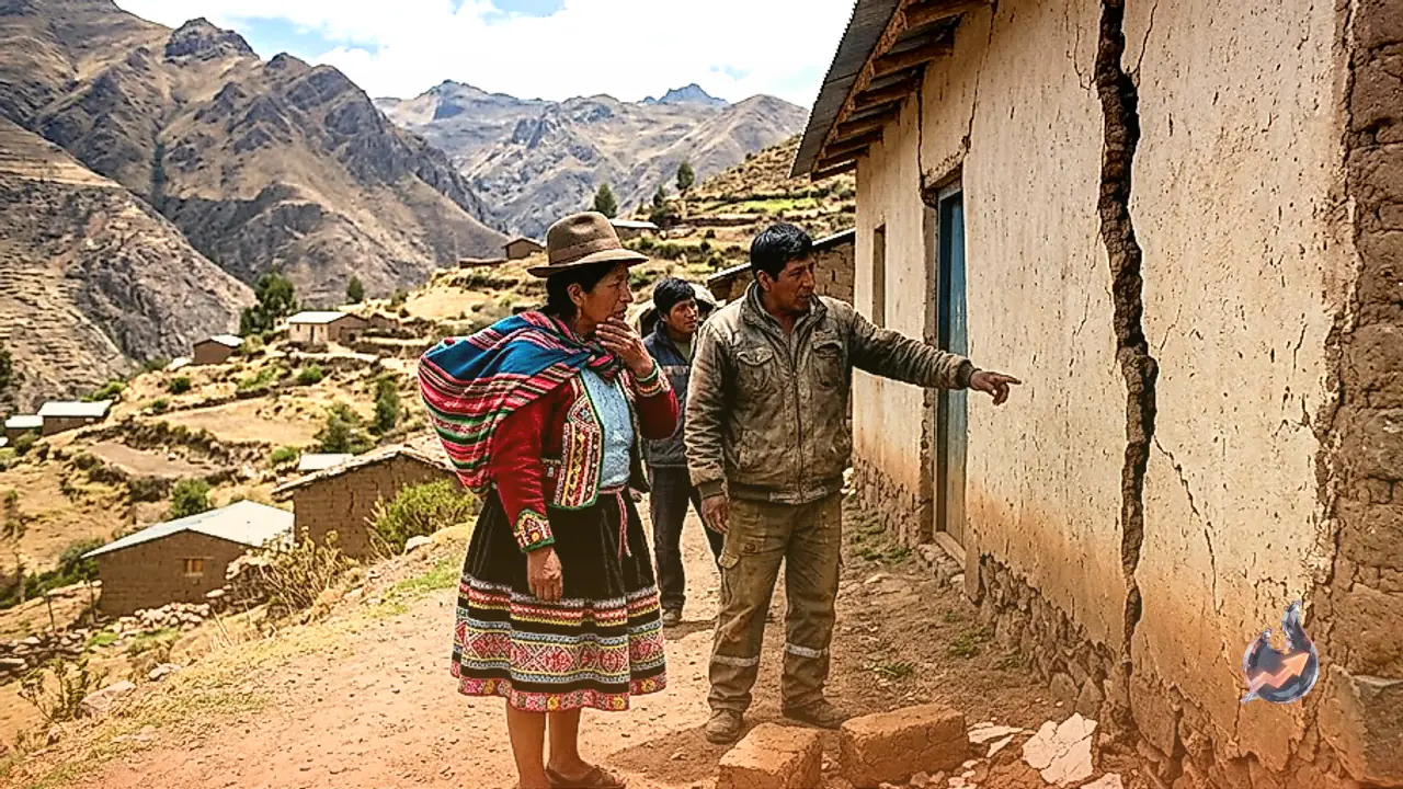
Seismologists note that the earthquake's substantial focal depth of 66.7 kilometers acted as the primary cushion preventing catastrophic surface destruction. Had a tremor of this magnitude occurred closer to the surface, the structural fallout across nearby towns could have been severe. Early field reports indicate that 2 people sustained minor injuries. Additionally, localized damage has been reported across a few residential dwellings, educational facilities, and hospital buildings. Despite Peru's extensive coastline along the Pacific Ocean, disaster management authorities confirmed that no tsunami warning was necessitated by this event.
Historical Context: Remembering the Devastating 2007 Tremor
Seismic incidents in Peru frequently recall memories of the tragic disaster that struck the nation nearly two decades ago. In 2007, a massive 7.9 magnitude earthquake hit a province in the Ica region, resulting in approximately 600 fatalities and widespread urban devastation. Since that historic catastrophe, Peru has regularly recorded high-magnitude earthquakes; however, many of these subsequent events have resulted in contained destruction due to deeper focal points and reinforced emergency protocols.
Peru's Location in the Pacific 'Ring of Fire'
Peru ranks among the most seismically vulnerable countries globally due to its location along the eastern perimeter of the Pacific 'Ring of Fire'. This geological formation is a horseshoe-shaped belt spanning roughly 40,000 kilometers around the ocean basin. The Ring of Fire accounts for nearly 90% of the world's total earthquakes and contains approximately 75% of all active volcanoes on Earth. Other nations located along this volatile perimeter include Chile, Ecuador, Colombia, Japan, Indonesia, New Zealand, and the western coastline of the United States.
Tectonic Mechanics and the Subduction Process
The fundamental cause of Peru's frequent seismic activity lies beneath the ocean floor, where the Nazca tectonic plate collides with and slides under the South American plate. This ongoing geological movement is known as subduction. Over millions of years, the tremendous pressure generated by this continental collision gave rise to the massive Andes mountain range. When locked stress along these subterranean fault lines suddenly releases, seismic energy radiates outward as strong earthquakes. Recent seismic activity across the Ring of Fire includes a 5.9 magnitude earthquake recorded in Indonesia just a day prior.