
The weather has shifted once again across the plains and hills of north India. Whether Haryana gets relief from the heat or the sun keeps blazing on June 24 has now been answered by the India Meteorological Department (IMD) in its latest forecast. According to the department, Haryana and Chandigarh are likely to see thunderstorms, lightning and strong winds at isolated places on June 24-26 and June 29. During this spell, wind speeds could touch 40-50 kmph.
Weather scientists say that pre-monsoon activity could bring heavier rain to south-eastern Haryana on June 24. Gurugram, Faridabad, Palwal and Nuh may also receive showers. On June 25, pre-monsoon activity will be at its most intense across the entire state, triggering strong winds, thunder and lightning, and light to moderate rain in several districts.
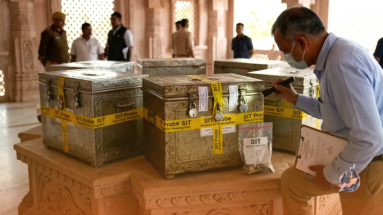
Yellow alert in Haryana until Friday
Given the risk of thunderstorms, lightning and winds blowing at 40-50 kilometres per hour, the yellow alert in Haryana has been extended until Friday. Scattered rain is expected to fall at a few places during this period. The weather is forecast to remain dry on Saturday and Sunday, and no warning or alert has been issued for the weekend.
Through the week, the maximum temperature is expected to hover around 38°C, while the minimum temperature could climb to 27°C from Thursday. For now, the region is passing through a transition between pre-monsoon storms and the arrival of the southwest monsoon.
Is this the onset of the monsoon?
The storms and rain currently being seen in Chandigarh and Haryana are pre-monsoon activity and should not be mistaken for the start of the monsoon. Over the past two weeks, widespread unfavourable weather conditions and repeated western disturbances over north India had considerably slowed the pace of the southwest monsoon.
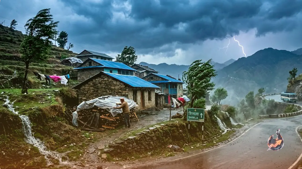
Weather from Chamba to Mandi
In Himachal Pradesh, the weather department has forecast rain in some parts until June 28. A yellow alert for thunderstorms, lightning and strong winds has been issued for several districts until June 26. Light to moderate rain is expected at a few places on June 24, 25 and 26, while light rain may occur at scattered locations on the remaining days of the week. For today, June 24, a yellow alert has been issued for the districts of Chamba, Kangra, Kullu and Mandi for thunderstorms, lightning and gusty winds.
The monsoon had been expected to reach Himachal Pradesh by June 24, but its slowing pace now points to a delayed arrival. As a result, the state may have to wait up to a week for the monsoon. Pre-monsoon showers are also likely to be lighter in the coming days. On Tuesday, the weather stayed clear across most of Himachal, but clouds began gathering again in the afternoon. Along with the clouds, strong winds were recorded at several places in the hills.
Advice for areas facing rain
The weather department has asked people to take precautions during storms and lightning. These safety measures are worth keeping in mind.
- Stay indoors, keep windows and doors shut, and avoid unnecessary travel.
- Take safe shelter and do not stand under trees.
- Do not lie on concrete floors or stand leaning against concrete walls.
- Unplug electrical appliances.
- Stay away from all objects that conduct electricity.