






















In a determined push to safeguard territorial sovereignty and counter cartographic aggression, the Indian government has formally established the standardized identities of 28 prominent natural features and locations across Ladakh. The strategic intervention comes against the backdrop of sustained attempts by Beijing to impose Mandarin designations onto Indian frontier zones in an effort to project territorial claims. Under this official exercise, every designated feature has been systematically integrated into the nation's authorized cartographic records.
Integration into Official Survey of India Maps
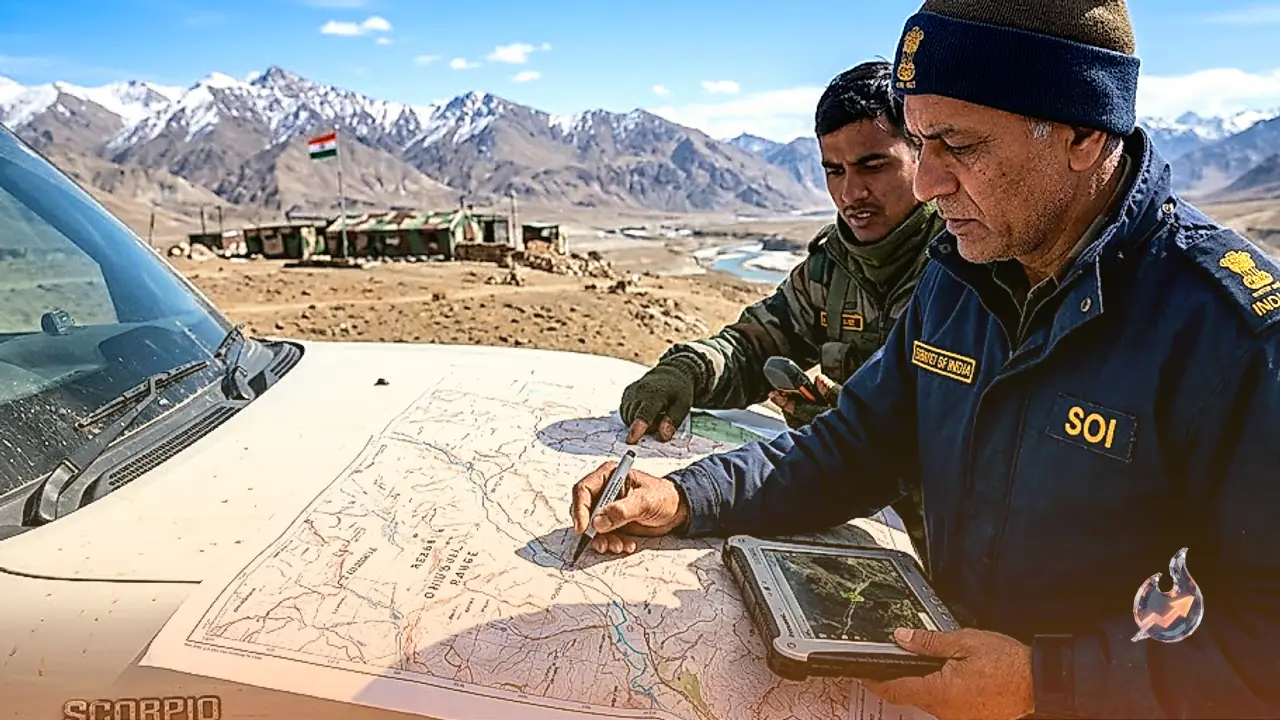
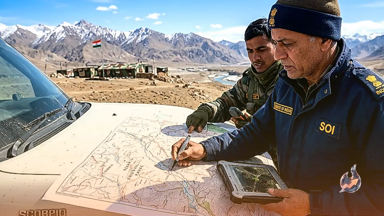
The Union Ministry of Home Affairs finalized the comprehensive list of 28 designations after detailed consultations with the Ladakh administration. The central objective of this administrative initiative is to facilitate accurate identification on the ground and bolster geographic awareness among citizens and administrators alike. Moving beyond regulatory documentation, these standardized names have been formally embedded directly into official maps published by the Survey of India, effectively eliminating administrative and operational ambiguities regarding these border landmarks.
Designations Span Peaks, Strategic Passes, and Glaciers
The 28 recognized geographic features represent a diverse array of prominent terrain forms across different sectors of Ladakh, including mountain summits, ridgelines, high-altitude passes, glaciers, valleys, waterways, lakes, and land formations. The comprehensive inventory encompasses the following critical locations
- Peaks and Mountains: Atisha Giri, Kanishka Peak, Karun Pir, Martand Giri, Zorawar Peak, Rinchen Zangpo Peak, Shakya Shri Giri, Marpa Lotsawa Ri, Milarepa Kangri, Shiva Ri, and Maheshwar Ri.
- Passes and Glaciers: Chapchingal Pass and Shachmirk Pass, alongside strategically vital ice sheets such as Parpik Glacier and Skamri Glacier.
- Valleys and Water Bodies: Shkorga Valley, Yangpa River, Shamal Lungpa, Guru Rinpoche Lake, and Hot Spring.
- Land Areas and Strategic Points: Brangsa, Kuksel, Dehra Compass, Drak Karpo, Gogra, Zolmori, Kumarayana Point, and Panglung.
Following Earlier Cartographic Measures in Arunachal Pradesh
This geographic consolidation in Ladakh follows an established sovereign template rather than acting as an isolated policy event. Earlier in August, the central government had standardized 27 geographic features and natural sites across Arunachal Pradesh, releasing official cartographic depictions via the Survey of India. Beijing has historically resorted to utilizing invented Mandarin terminology for Indian territories, labeling Arunachal Pradesh as 'Zangnan' or 'Southern Tibet'. By falsely presenting both Ladakh and Arunachal Pradesh as extensions of Tibet, neighboring authorities attempt to manufacture spurious sovereignty claims. India's coordinated cartographic measures serve to neutralize these deceptive tactics by reinforcing definitive sovereign records.
Decoding the Strategy Behind Renaming Campaigns
Strategic affairs experts emphasize that renaming exercises represent much more than semantic maneuvers; they constitute an aggressive, long-term geopolitical tactic. In territories marked as contested, authorities often deploy nomenclature revisions to rewrite historical narratives and manufacture retrospective evidence for territorial claims. The underlying ambition is to gradually induce foreign entities, global platforms, and international media to adopt these alternative terms. Once Mandarin designations gain traction in external administrative and diplomatic usage, they help fabricate an artificial perceptual link to foreign territory. By cementing legitimate domestic names on statutory maps, India has established an enduring institutional countermeasure against such narrative manipulation.