






















A sharp contrast in weather patterns has gripped the country following the landfall of severe cyclonic storm Murasu along the southeastern shoreline. While several southern territories face the brunt of relentless precipitation and powerful squalls, northwestern and northern regions are experiencing dry conditions coupled with an intensifying dawn and nocturnal nip in the air. The meteorological office bulletin for November 3 outlines heightened vigilance in Andhra Pradesh and Telangana, set against pleasant daylight across northern plains.
Landfall Dynamics and Weakening Trajectory of Cyclone Murasu
According to weather specialists, the severe cyclonic system positioned over the west-central Bay of Bengal tracked in a north-northwestward direction at nearly 8 km per hour during the preceding 6 hours. The storm completed its landfall crossing the Andhra Pradesh coast between Ongole and Nellore. Surface wind speeds reached sustained velocities of 100 to 110 km per hour during landfall, with turbulent gusts peaking up to 120 km per hour.
As the system moves further inland, friction and lack of moisture are expected to gradually deplete its intensity. Prognostic models indicate that by afternoon, it will soften into a cyclonic storm packing winds between 80 and 90 km per hour. By the midnight of November 3, it is anticipated to decay further into a deep depression with sustained speeds of 55 to 65 km per hour. Local authorities have highlighted concerns regarding inundated lowlands, downed trees, damaged electricity infrastructure, and potential harm to thatched dwellings.
Torrential Deluges and High Alert Across Southern States
Peninsular India remains the primary focal point of severe weather operations. Across coastal Andhra Pradesh and Rayalaseema, extensive light to moderate rainfall is expected, accompanied by heavy to very heavy spells in multiple areas and isolated extremely heavy falls. Considering the turbulent marine conditions, fishing communities have been strictly advised against venturing out into deep waters.
In Telangana, vulnerable districts including Khammam, Nalgonda, Warangal, and Suryapet are bracing for heavy to extremely heavy showers along with gusty winds clocking 50 to 60 km per hour. Simultaneously, parts of northern Tamil Nadu, Puducherry, and Kerala are likely to experience scattered thunderstorm activity yielding moderate to heavy precipitation through the day.
Northern Plains Experience Crisp Skies and Mild Chill
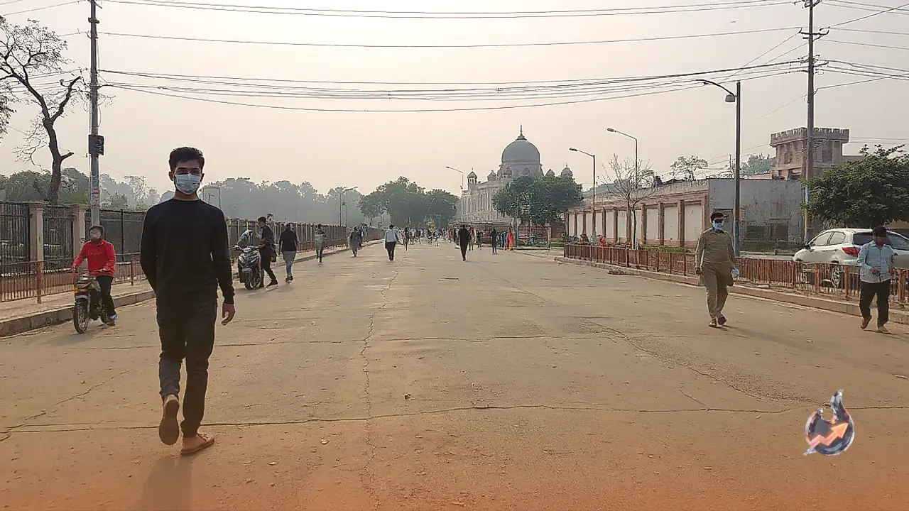
In striking divergence from the tempestuous south, the vast agricultural plains of northern India remain under the sway of dry and clear atmospheric conditions. Regions covering Delhi-NCR, Punjab, Haryana, Uttar Pradesh, and Rajasthan will largely see bright sunshine through daytime hours. Nevertheless, early morning and late night periods are witnessing the onset of light mist and a steady decrease in ambient readings.
This persistent decline in night temperatures signals the gradual onset of early winter chill. In the northern mountainous territories encompassing Jammu and Kashmir, Ladakh, Himachal Pradesh, and Uttarakhand, higher altitude locations are already encountering biting cold weather, whereas valleys and lower foothills continue to experience open skies and sunny intervals.
Atmospheric Outlook for Eastern and Western Regions
The circulation spinning over the maritime basin is also pulling moisture toward eastern India. The southern coastal belts of Odisha are predicted to experience winds between 30 and 40 km per hour alongside light to moderate rain, with isolated heavy downpours. In neighboring Chhattisgarh, convective cloud formation could trigger localized thunderstorm showers. Gangetic plains extending over Bihar, Jharkhand, and West Bengal will see largely dry weather under partly clouded skies.
Across western sectors, Gujarat and the arid zones of western Rajasthan will maintain completely arid conditions, marked by daytime warmth transitioning to cooler nights. In Maharashtra, moisture streaming from the southern disturbance may trigger cloudiness and isolated light drizzle across Vidarbha and southern Marathwada. Meanwhile, the coastal strip of Konkan and Mumbai is slated to remain dry and moderately humid.