




















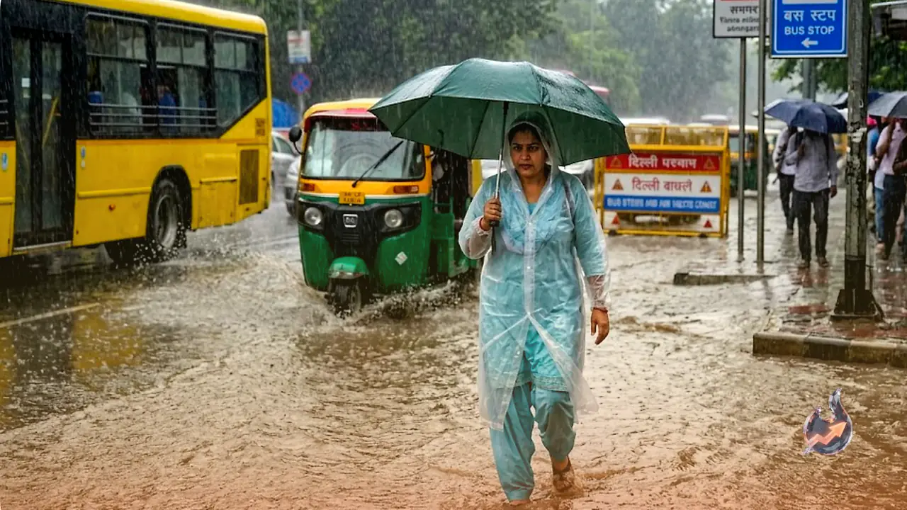

Monsoon has truly gathered pace across large parts of the country, and the weather department has issued a heavy to very heavy rainfall warning for 11 states over the next 24 to 48 hours. According to the latest bulletin from the India Meteorological Department, or IMD, Gujarat, Konkan-Goa, central Maharashtra and Chhattisgarh are likely to see the most intense spell of rain on July 6, with isolated pockets even expecting extremely heavy rainfall.
Rain Spell Stretches From The Hills To The South
It isn't just western and central India that will feel the impact. Hilly and southern states are set to see an equally strong spell of rain, with Uttarakhand, Himachal Pradesh, eastern Rajasthan, Madhya Pradesh, Odisha, Karnataka and Kerala all expected to continue receiving heavy showers in the coming days. States such as Delhi-NCR, Uttar Pradesh, Bihar, Jharkhand, Punjab and Haryana have also been forecast good rainfall, which should bring some relief from the humid heat in these regions.
A Low Pressure Area Over The Bay Of Bengal Is Driving It All
The weather department says this fresh burst of monsoon activity is being fuelled by three weather systems acting together. A low pressure area formed over the Bay of Bengal, an active monsoon trough running across the country, and a western disturbance moving in from the north have combined to suddenly intensify rainfall activity across north, central and eastern India. The department expects this spell of rain to continue over most parts of the country for the next few days.
Delhi-NCR Is Finally Set For Its Share Of Rain
Monsoon had already arrived in Delhi-NCR, but the region hadn't seen as much rainfall as expected in the initial days. That is now about to change quickly. The IMD has forecast heavy rain in Delhi, Noida, Gurugram, Ghaziabad and Faridabad today, with the department warning of thunderstorms accompanied by intense rain and winds blowing at speeds of 40 to 50 kilometres per hour.
Relief From Heat Likely, But So Is The Risk Of Waterlogging
The weather department expects maximum temperatures to fall by 2 to 3 degrees Celsius over the next two to three days, offering some relief from the humid conditions. However, there is another side to this spell of heavy rain, low-lying areas in cities could see waterlogging, and roads could see traffic jams as a result. People have been advised to stay away from open grounds, trees and tall towers during lightning, and to follow the advisories issued by the weather department.