













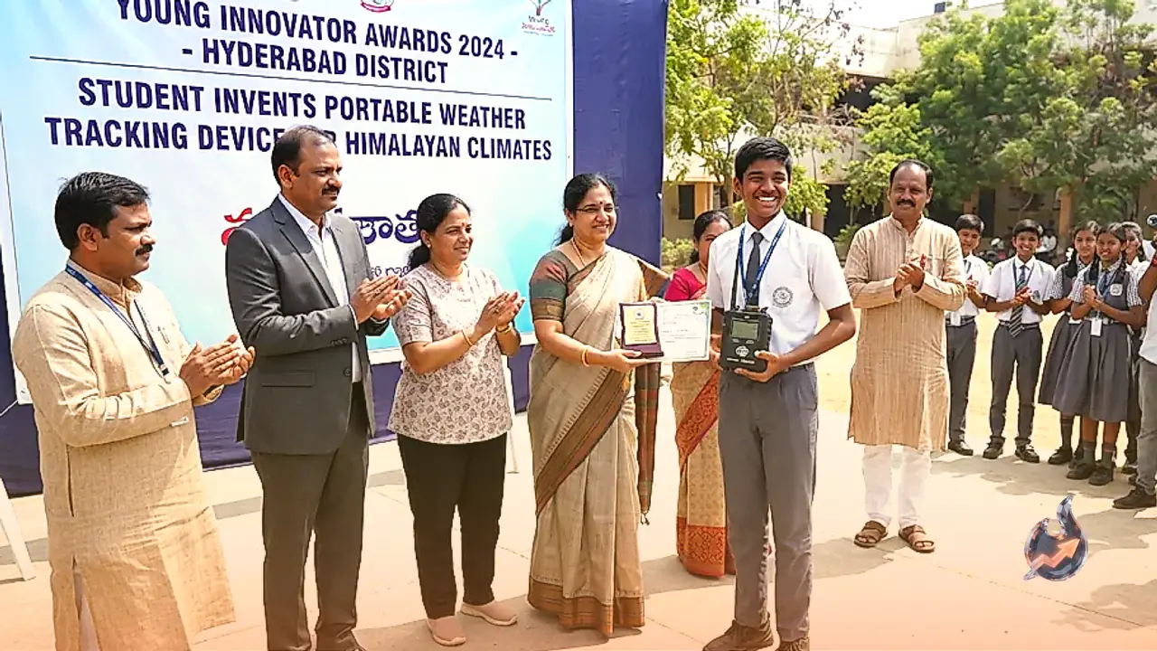

The brilliant technical capabilities of young minds in Hyderabad have once again come to light through an inspiring invention. Agam, a 12th-grade student studying at Indus International School in the city, has engineered a unique portable device capable of pulling live weather data directly from space satellites without requiring any internet connection or mobile network coverage. Named 'Summit Sathi', this specialised gadget has been built primarily to safeguard the lives of mountaineers, hikers, and adventure trekkers navigating remote terrain.
How a Harsh Himalayan Expedition Sparked the Idea
The inspiration behind this remarkable device stems from a personal ordeal faced by the young creator himself. As an avid trekking enthusiast, Agam was once climbing a high-altitude peak in the Himalayas when the weather deteriorated drastically and without warning. Trapped amidst fierce winds and heavy rain with zero mobile signal, there was no meteorological forecast available to guide them forward. That critical moment forced him to make risky decisions based purely on guesswork without accurate data. The unsettling experience motivated him to engineer a reliable tool that could deliver accurate weather warnings even in the most isolated regions.
Six Months of Rigorous Development and Hardware
The creation of this device involved roughly six months of relentless dedication and hard work. The internal architecture features a specialised antenna, an RTL-SDR receiver designed to capture radio frequencies, and a compact Raspberry Pi mini-computer to interpret the incoming data streams. To protect the sensitive internal circuitry from freezing cold temperatures and rugged outdoor environments, the entire apparatus is housed within a sturdy aluminum casing. Throughout the development phase, the student received valuable technical guidance and mentorship from experts at the Hyderabad-based space tech firm Dhruva Space alongside his school's dedicated design team.
Mechanism and Safety Scoring System
The gadget functions by establishing a direct link with open-broadcast weather satellites such as Meteor-M to download real-time cloud imagery. An integrated AI model within the system analyses 46 distinct parameters including cloud density, ambient temperature, wind vectors, and precipitation probability. Following this analysis, the screen displays a safety score ranging from 0 to 100. A score residing between 0 and 30 indicates safe weather conditions, whereas a reading approaching 100 signifies extreme danger outdoors. Furthermore, the display provides real-time updates regarding current temperature, humidity levels, and active satellites overhead. Balancing his academics with sports and mountaineering pursuits, Agam's ingenious innovation holds immense potential to save countless lives in adventurous terrains.