



















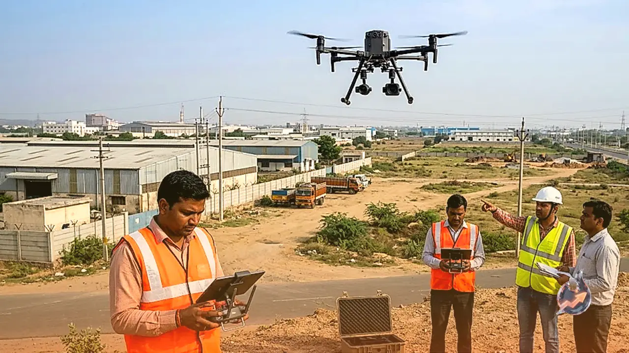

Jaipur. In a major technological leap aimed at enhancing the monitoring and management of industrial zones across Rajasthan, the Rajasthan State Industrial Development and Investment Corporation (RIICO) is set to adopt modern drone technology. Under this initiative, selected industrial areas will undergo comprehensive drone surveys to gather detailed data on industrial plots, buildings, internal roads, power infrastructure, and other essential amenities. The primary goal of this exercise is to build a robust digital repository of industrial lands, making it easier for officials to access real-time information regarding land status and utilization.
Initial Phase to Cover 50 Square Kilometers
As part of the initial rollout, RIICO has planned to conduct aerial drone surveys across approximately 50 square kilometers of industrial territory. This preliminary phase will capture high-resolution imagery and precise measurements of plots, structures, roadways, and utility networks. By deploying modern digital surveying tools, authorities aim to accurately capture the ground reality of these regions, laying a strong foundation for future infrastructural upgrades and administrative planning.
Creation of Digital Evidence Sheets for Every Plot
Following the completion of the aerial surveys, a dedicated digital evidence sheet will be compiled for every single industrial plot. This individualized document will house vital identification details, including the unique plot number, boundary demarcations, current construction status, and the precise nature of land usage. Furthermore, compliance-related parameters as per RIICO regulations will be incorporated, streamlining the process for officials to review plot histories and audit land utilization patterns.
Development of 2D Maps and 3D Models
The vast repository of data collected via drone operations will be processed to generate advanced 2D digital maps and immersive 3D models of the industrial estates. These datasets will be seamlessly integrated with Geographic Information Systems (GIS). This technological integration will empower urban planners and administrators to visualize spatial layouts, evaluate available resources, and execute informed decision-making regarding regional development.
Comprehensive Tracking of Roads, Power, and Green Cover
The survey scope extends beyond mere land parcels to encompass core infrastructural amenities and natural assets within the industrial pockets. Critical elements such as internal road networks, electrical grid infrastructure, vegetation, and major landmarks will be thoroughly mapped, measured, and cataloged. According to RIICO, integrating advanced geospatial technology into industrial planning will foster evidence-based administration, ensuring efficient resource allocation and transparent governance.