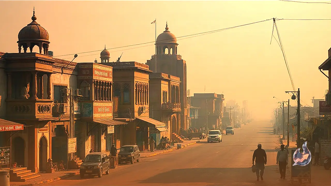





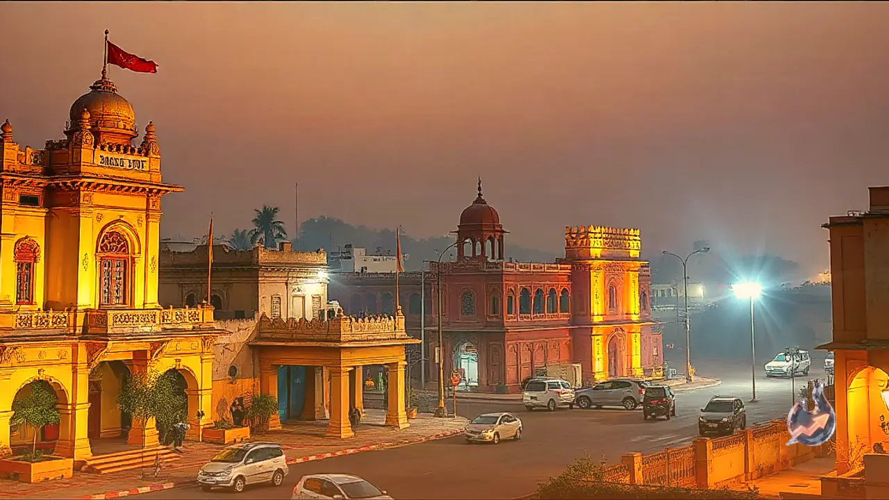



















Weather conditions across Rajasthan have taken a dramatic turn as the monsoon season gathers renewed momentum across the state. According to meteorological observations, a well-defined low-pressure area persists over south-west Madhya Pradesh and adjoining north Vidarbha, accompanied by an upper-air cyclonic circulation extending up to significant altitudes in the atmosphere. This active weather system is projected to track west-north-westwards towards south-east Rajasthan and neighbouring parts of north Gujarat within the next twenty-four hours, directly influencing precipitation patterns across the region.
Severe Weather Warnings Issued for Multiple Districts
Authorities have sounded alerts for heavy showers and gusty winds in several parts of the state for September 14. Districts placed under specific advisories include Ajmer, Bharatpur, Udaipur, Jaipur, Bhilwara, Sawai Madhopur, Baran, Kota, Pali, and Bikaner. Surface winds in these areas are anticipated to reach speeds of thirty to forty kilometres per hour, occasionally peaking higher during thunderous activity. Residents have been strongly advised to avoid taking shelter under tall trees or remaining out in open spaces during lightning and thunderstorms.
Southern and Eastern Regions to Witness Intensified Spells
Meteorological forecasts indicate that southern districts will experience the heaviest downpours over a three to four-day window. Between September 13 and 15, scattered to fairly widespread moderate to heavy precipitation is very likely over the Udaipur division and surrounding areas. Concurrently, Jaipur, Bharatpur, Ajmer, and Jodhpur divisions will also receive light to moderate showers at isolated places. Specifically on September 14, districts across eastern Rajasthan including Alwar, Banswara, Beawar, Bundi, Chittorgarh, Dausa, Deeg, Dholpur, Dungarpur, Jhalawar, Jhunjhunu, Karauli, Khairthal-Tijara, Kotputli-Behror, Pratapgarh, Rajsamand, Salumbar, Sikar, Sirohi, and Tonk are expected to experience lightning strikes accompanied by gusty winds.
Western Sectors Brace for Gusty Conditions
Western parts of the state are equally poised to experience the effects of this active weather pattern. Balotra, Barmer, Didwana-Kuchaman, Jalore, Jodhpur, Nagour, and Pali are marked for thunder activity, lightning, and rainfall accompanied by surface winds blowing at thirty to forty kilometres per hour. Throughout the period from September 13 to 16, intermittent light to moderate showers are predicted across the Jodhpur division, while Bikaner division may also witness isolated spells of rainfall.
Confluence of Multiple Weather Systems Driving the Spells
The ongoing atmospheric disruption is attributed to the simultaneous activity of several distinct weather systems. The monsoon trough runs through Jaisalmer, Kota, the center of the low-pressure area, Rajnandgaon, and Bhawanipatna before extending into the east-central Bay of Bengal. Another prominent trough extends from the north-east Arabian Sea across Gujarat and Uttar Pradesh into Bihar. Combined with western disturbances affecting mid-tropospheric westerly winds, these interacting systems have significantly enhanced moisture influx and rainfall activity throughout the state.
Temperature Trends Recorded Across the State
Scattered light precipitation was registered at isolated locations across the state over the preceding twenty-four hours. Srigangानगर recorded the highest maximum temperature in the state at thirty-nine point nine degrees Celsius. However, sustained cloud cover and continuous rainfall are expected to induce notable fluctuations in mercury levels across various towns over the coming days, with weather conditions anticipated to remain unsettled through September 16.