






















The picturesque mountainous landscapes of Uttarakhand are experiencing a dramatic meteorological shift as the monsoon season prepares to transition. An early wave of winter chill has swept across the high-altitude regions of the state, bringing unexpected snowfall to the towering Himalayan peaks. Concurrently, the regional meteorological office in Dehradun has placed several vulnerable districts on a yellow alert for September 13, warning residents and travelers of impending torrential downpours and intense lightning strikes. This sudden change in weather has drastically lowered temperatures in the upper reaches, while persistent intermittent rain in lower valleys has triggered concerns over rising water levels in local streams and an elevated risk of landslides along major mountain highways.
High Peaks Blanket in White as Freezing Temperatures Arrive Early
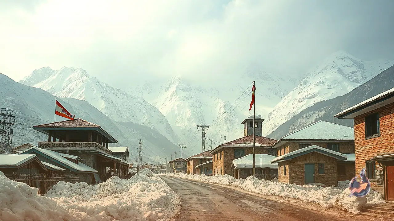
An intense spell of fresh snowfall has blanketed the highest elevations of Chamoli district, creating a pristine white landscape but also bringing a biting cold. Celebrated spiritual and natural landmarks, including the Badrinath shrine, the sacred Sikh pilgrimage site of Hemkund Sahib, and the ecologically rich Valley of Flowers, have all recorded significant snow accumulation on their surrounding ridges. This premature snowfall has caused a sharp, sudden plunge in local temperatures, forcing an early onset of harsh winter conditions. Interestingly, while the formal closure of the Hemkund Sahib portals for the winter season is scheduled for October 10, the region is already grappling with bone-chilling cold and severe frost nearly a month in advance. Local authorities are closely monitoring the situation as these cold winds begin to descend into the lower valleys.
Comprehensive 72-Hour Warning Issued Across Uttarakhand
Meteorologists indicate that the current atmospheric instability is part of a pre-withdrawal phase of the monsoon, affecting both high-altitude terrains and low-lying plains. The weather department has advised heightened caution for the next 72 hours, detailing that the intense moisture activity will persist. On September 13, specific regions within the Kumaon division, particularly Bageshwar and Pithoragarh, are highly likely to experience localized spells of extremely heavy and continuous rainfall. In contrast, the flat plains of Haridwar and Udham Singh Nagar are expected to face strong thunderstorms accompanied by frequent, dangerous cloud-to-ground lightning. The meteorological warnings extend into September 14 and 15, with the state's mountain zones remaining under a strict alert for heavy showers and electrical storms, indicating that no immediate relief from these disruptive conditions is on the horizon.
Travel Advisory Issued for Chardham Pilgrimage Routes
The shift in weather has prompted administrative concern for pilgrims currently navigating the sacred Chardham pathways in Garhwal. Districts such as Uttarkashi, Rudraprayag, and Tehri are experiencing rapidly changing atmospheric conditions characterized by sudden convective developments. Travelers trekking along the arduous Kedarnath pedestrian route, as well as those driving on the arterial Yamunotri and Gangotri national highways, have been strongly urged to practice extreme vigilance. These districts are vulnerable to sudden, localized downpours that can severely reduce visibility and make mountain passes hazardous. Over the last 24 hours, daytime temperatures in these elevated areas remained relatively close to seasonal averages, but the arrival of intermittent rain showers has introduced a noticeable, shivering chill to the air as soon as the sun sets.
Critical Landslide Risks and Road Closures in Kumaon
The border districts of Kumaon, specifically Pithoragarh and Bageshwar, find themselves at the center of the most severe weather warnings. The localized heavy rainfall expected in these districts poses a significant threat to regional infrastructure. Intermittent but heavy downpours on the fragile slopes increase the probability of rockfalls, mudslides, and massive debris accumulation on transit routes. Local administrations are preparing for potential disruptions, as these weather patterns regularly lead to the blockage of vital rural link roads, cutting off remote villages from essential services. Authorities are advising against non-essential travel in these specific mountainous tracts until the heavy rain warning subsides and the roads are declared safe for vehicular movement.
Dehradun and Surrounding Towns Receive Much-Needed Relief from Humidity
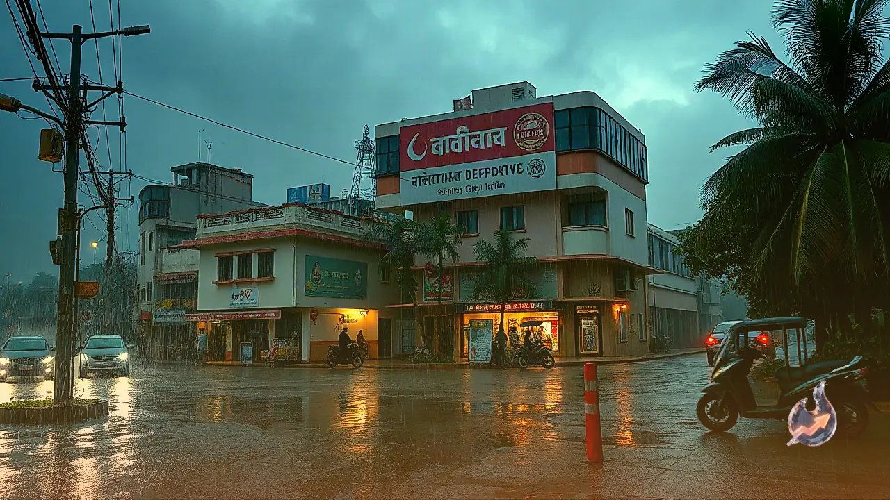
Meanwhile, the state capital of Dehradun, along with its neighboring towns of Mussoorie, Rishikesh, and Vikasnagar, has finally found respite from a prolonged spell of oppressive humidity. After experiencing highly uncomfortable, muggy conditions over the past 24 hours, these urban centers are witnessing a refreshing change. The meteorological forecast suggests that Dehradun and its immediate vicinity will experience one or two intense spells of light to moderate rain accompanied by thunder. Although maximum temperatures in the capital had recently been hovering slightly above the normal seasonal limits, the prevailing cloud cover and incoming showers are set to drag the mercury down. However, the administration has still issued precautionary advisories for citizens residing near vulnerable, steep slopes and seasonal storm-water drains within the urban limits.
Plain Districts Face Thunderstorms as Monsoon Prepares to Fade
The plains of Haridwar and Udham Singh Nagar, which had also been experiencing unusually high temperatures and suffocating humidity levels over the past few days, are transitionally shifting towards cooler conditions. On September 13, these flat southern districts are slated to receive scattered rainfall accompanied by active lightning strikes, which should effectively break the heatwave-like conditions. Looking ahead, the meteorological department projects a gradual decline in the intensity and spread of the monsoon rains across Uttarakhand starting around September 17 and 18. By that time, precipitation is expected to be confined to isolated, light showers in sporadic locations. Nevertheless, until this transition is fully complete, both local residents and visiting tourists are strongly encouraged to keep themselves updated with the latest daily bulletins issued by the weather office.


