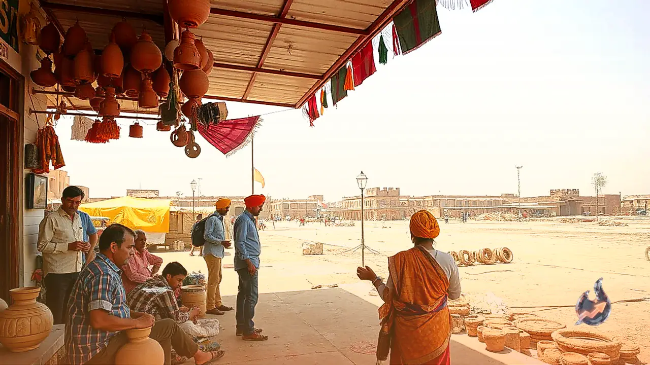
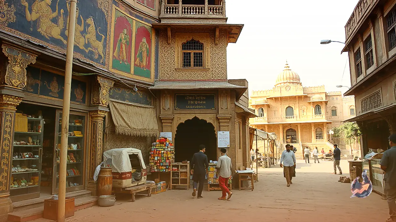
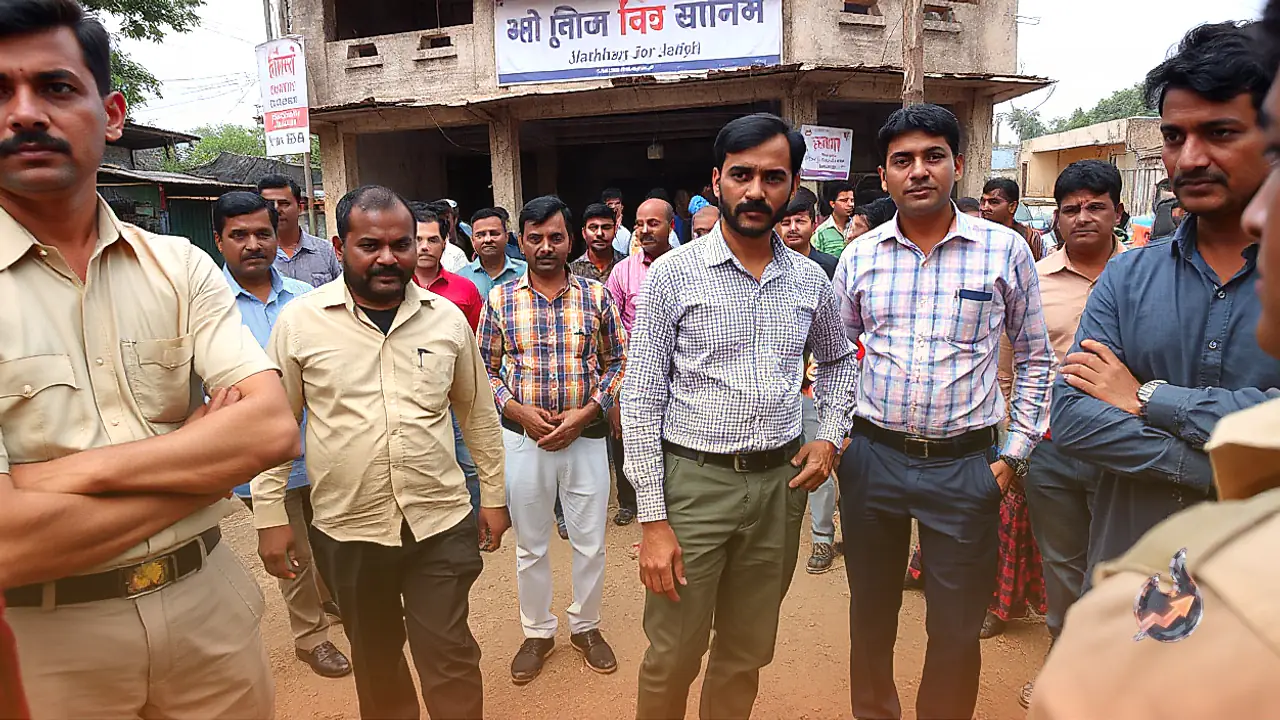














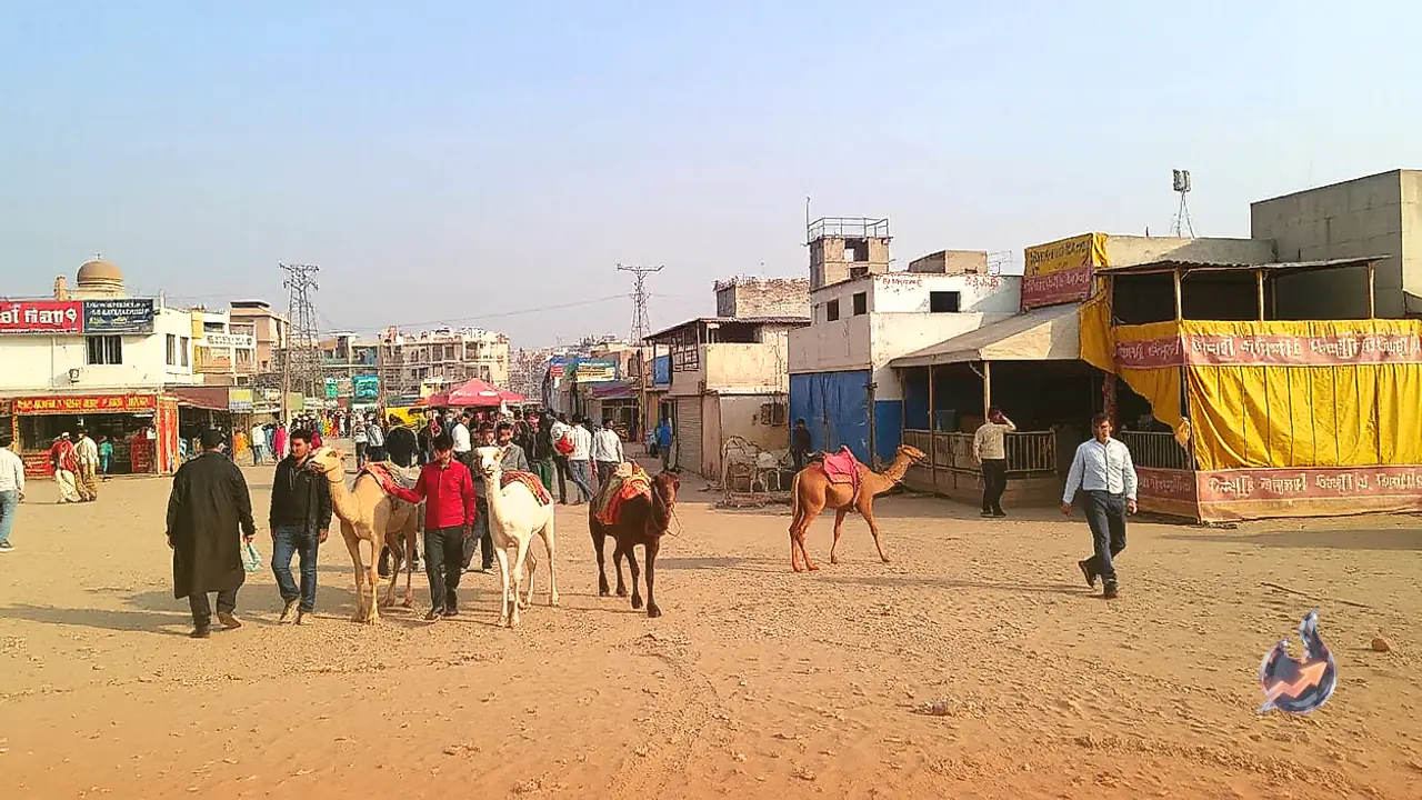

Rajasthan's globally renowned international Pushkar Fair, hosted in Ajmer district, is set to undergo a major technological upgrade this season. With event dates drawing near, preparations on the ground have gathered significant momentum. Adapting to the modern digital era, fair administrators are introducing a dedicated QR code framework designed to help domestic and overseas visitors, along with livestock herders, quickly retrieve essential event information directly on their smartphones through a simple camera scan.
Modernising a traditional gathering with smart tools
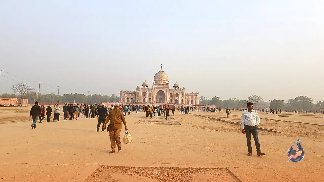
Fair officer Dr Naveen Parihar explained that modern daily routines heavily rely on mobile interfaces and scan-and-go technology for everything from micro-information to financial settlements. Embracing this shift, officials decided to transform this year's Pushkar Fair into a streamlined, digitally guided event. Because the traditional congregation spans an expansive, sprawling outdoor area, foreign tourists and visiting cattle rearers frequently struggle to pinpoint specific sections and pathways. This digital initiative aims to remove navigation bottlenecks entirely.
Dedicated QR code flex boards at central help desks
Enquiry booths during the fair routinely encounter common questions from visitors seeking the exact location of the tallest horse, the smallest equine specimen, or the venues for high-profile livestock contests. To resolve these recurring inquiries swiftly, administrators are erecting large flex banners at main help desks across the grounds. Each banner will feature distinct QR codes mapped to key event zones, pavilions, and focal points. Anyone carrying a smartphone can scan the code of interest to instantly load precise location coordinates and optimal walking routes.
Direct guidance to fodder depots and cultural contests
Locating essential supplies across sandy expanses has historically been a demanding task for animal owners attending the gathering. Through this digital rollout, locating distribution centres for dry fodder, green fodder, and specialized livestock feed will require only a single scan. The same navigation system will detail locations for Saras dairy parlours, horse dance competitions, camel decoration pageants, and evening cultural stages, ensuring participants and spectators save substantial time while moving across venues.
Real-time route planning and distance tracking
The interactive mapping service will also benefit prospective attendees coordinating their itinerary from outside the immediate fairgrounds. Scanning a specific venue code instantly calculates the exact distance from the central help desk along with the most viable approach path. Visitors can readily evaluate whether a destination is within comfortable walking distance or which specific route to follow, delivering a significantly more organized and accessible experience for everyone involved.