



















A noticeable transition in atmospheric conditions is unfolding across Rajasthan as the state approaches the middle of November. While dry and settled conditions currently prevail over most regions, a dynamic weather pattern is set to interrupt this calm within the next 24 to 48 hours. The arrival of a fresh western disturbance will trigger increased cloudiness, localized thundershowers, and brisk surface winds across the western and northern desert tracts. Prior to this shift, November 13 will experience entirely dry conditions across all administrative districts, with clear skies and unhindered sunshine maintaining an absence of warnings for thunder, rain, or adverse wind activity.
According to technical assessments from the meteorological centre in Jaipur, an existing western disturbance is positioned over Jammu and Kashmir and surrounding territories as an active cyclonic circulation at an altitude of 3.1 kilometres above mean sea level. Simultaneously, a trough in the mid-tropospheric westerlies is running at an altitude of 5.8 kilometres. Building upon this existing setup, a secondary, fresh western disturbance is scheduled to enter and interact with local systems on November 14 and 15, steering an influx of moisture and precipitating widespread shifts in regional atmospheric stability.
Impact Across Western Divisions on November 14
Under the operational influence of this incoming weather system, substantial cloud cover will build over portions of the Jodhpur and Bikaner divisions. November 14 will mark the peak of this disturbance, bringing cloudy skies alongside convective activity that could generate lightning strikes, thunderclaps, and sharp squally gusts blowing at speeds between 30 and 40 kilometres per hour. Scattered patches of light precipitation are also anticipated to accompany these localized bursts of wind.
District-level tracking indicates that the most pronounced weather manifestations will concentrate across five specific western districts. The meteorological authorities have outlined elevated vigilance for Bikaner, Jaisalmer, Jodhpur, Nagaur, and Phalodi, where lightning hazards, thunder, and gusty winds present the primary concerns. Peripheral pockets across both Jodhpur and Bikaner divisions will observe intermittent cloud cover, though precipitation amounts outside the flagged districts are expected to remain marginal.
Extension Into Shekhawati and Intermediate Outlook
The influence of the atmospheric disturbance will linger into November 15, shifting its primary focus toward the northern tier of the state. Light showers and isolated drizzle are forecast for the northern stretches of Bikaner division as well as scattered locations within the Shekhawati belt. Known cold-prone stations such as Sikar and Fatehpur may register brief spells of precipitation, laying the groundwork for a subsequent cooling trend in the soil and ambient air.
In contrast, southern and eastern sectors of the state are projected to experience largely dry, uneventful weather. From November 15 through November 18, forecasters have not placed any distinct alerts or specialized weather warnings on remaining districts, confirming that the moisture-laden convective activity will stay confined to localized northern and western sectors rather than encompassing the entire state.
Post-Disturbance Cooling and Temperature Plunge
Once the western disturbance moves through and precipitation ceases, north-westerly air currents will usher in a distinct winter chill across Rajasthan. Starting November 16, both daytime maximums and night-time minimum temperatures are strongly expected to fall by 2 to 4 degrees Celsius across several parts of the state. This substantial cooling will diminish daylight heat and make morning and evening conditions noticeably crisper.
At present, a pronounced diurnal temperature contrast dominates the region. Barmer recently registered the highest maximum temperature statewide at 36.3 degrees Celsius, reflecting persistent desert heat during peak daytime hours. Conversely, nighttime temperatures in Shekhawati pockets such as Fatehpur and Sikar have already begun to contract, giving local residents an early taste of late-autumn chill. The impending drop of 2 to 4 degrees Celsius from November 16 onward will curb daytime highs and cement genuine winter conditions across urban and rural belts alike.
Regional Overview and Dry Belts
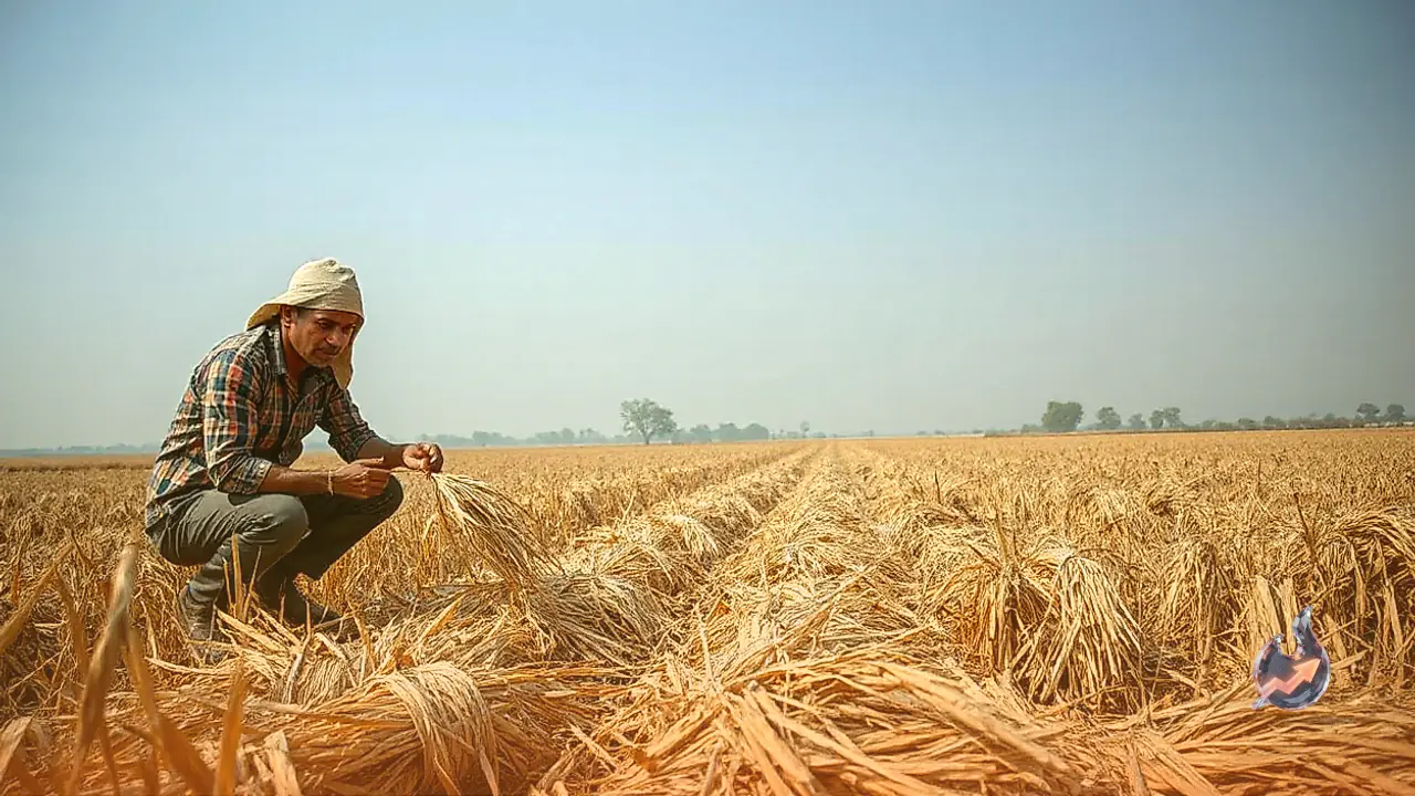
A regional examination shows clear geographic divergence in how the system behaves. While five western districts gear up for squally gusts and convective instability on November 14, southern and south-eastern divisions like Kota, Udaipur, and Bharatpur will observe unhindered dry weather. Agricultural operations and outdoor commuting across these southern and eastern regions are unlikely to face disruptions.
In summary, Rajasthan will navigate a dry interlude on November 13, encounter a brief window of wind and light rain in five northwestern districts on November 14 and 15, and finally transition into an intensified phase of seasonal cold starting November 16 as temperatures drop across the board.