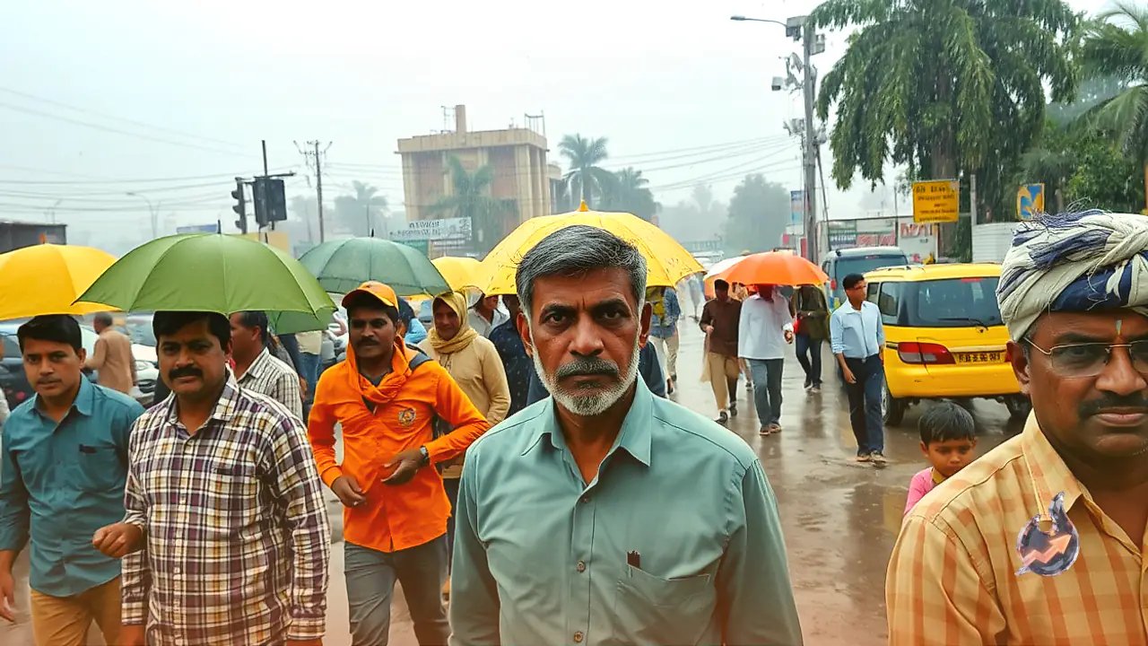




















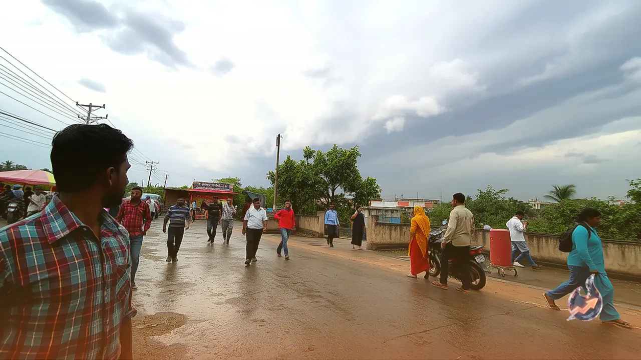

Dry and settled conditions observed across Rajasthan over the past twenty-four hours are giving way to an unstable atmospheric setup. The emergence of an upper-air cyclonic circulation over Haryana along with an elongated trough stretching from northwestern Rajasthan into southeastern Madhya Pradesh has stirred up local weather dynamics. Consequently, parts of northern and western Rajasthan are bracing for cloud cover, intermittent thunderstorms, and light to moderate precipitation starting October 11.
Severe Weather Watch for Border Districts
Regional meteorological authorities have highlighted the likelihood of sudden squalls packing speeds of 30 to 40 kilometers per hour in the desert border belt. Districts including Sriganganagar, Hanumangarh, and Churu face heightened risks of lightning strikes, thunderclaps, and sudden dust-raising gusts. Residents and agricultural workers in these areas have been advised to exercise prudence, avoid sheltering under isolated trees, and secure harvested crops currently lying in open yards.
Bikaner Division and Shekhawati Region in Focus
The primary thrust of this atmospheric disturbance will center around the Bikaner administrative division and the Shekhawati tract. Localities across Sriganganagar, Hanumangarh, Bikaner, Churu, Sikar, and Jhunjhunu, extending to rural pockets such as Gharsana, Rawla, Anupgarh, Khajuwala, and Sujangarh, may witness localized spells of rain accompanied by gusty winds. Due to the convective nature of the disturbance, precipitation patterns will remain highly variable rather than uniform across every tehsil.
Cloud Cover Over Jaipur Division
Further east, parts of the Jaipur division will experience cloudy skies with chances of isolated light showers on October 11. While the state capital itself could see increased cloudiness, widespread or heavy rain over urban Jaipur remains uncertain. Concurrently, neighboring divisions including Ajmer and Bharatpur are anticipated to stay predominantly dry, with clear conditions allowing daytime temperatures to remain steady.
Outlook for Southern and Eastern Pockets
In southern Rajasthan, an influx of easterly winds will gradually introduce moisture over the coming three to four days. This transition is projected to spark cloudiness and scattered light to moderate showers across pockets of Udaipur and Kota divisions. Localized atmospheric interactions could also produce brief weather variations in parts of Jodhpur division, even as vast stretches of the arid northwest stay mostly dry.
Fresh Pulse Expected Around October 13 and 14
Meteorological charts indicate that this wet spell will not conclude after a single round. A second phase of instability is anticipated to recur across Shekhawati and Bikaner division on October 13 and 14, bringing renewed thundershowers and breezy intervals. In contrast, districts across Ajmer, Bharatpur, Udaipur, Kota, and Jodhpur will largely maintain dry and stable weather. Emphasizing cautious movement during electrical storms, regional authorities conveyed on X that scattered thundery activity is likely to persist across specified zones over the coming days.