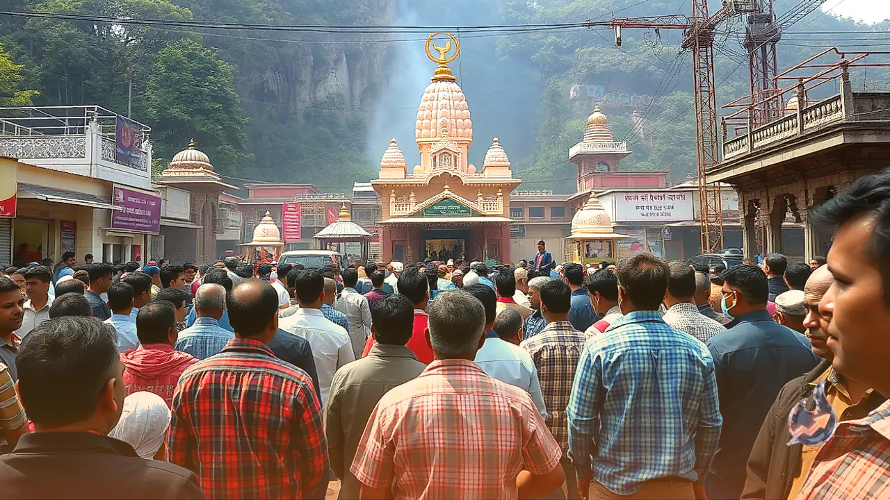

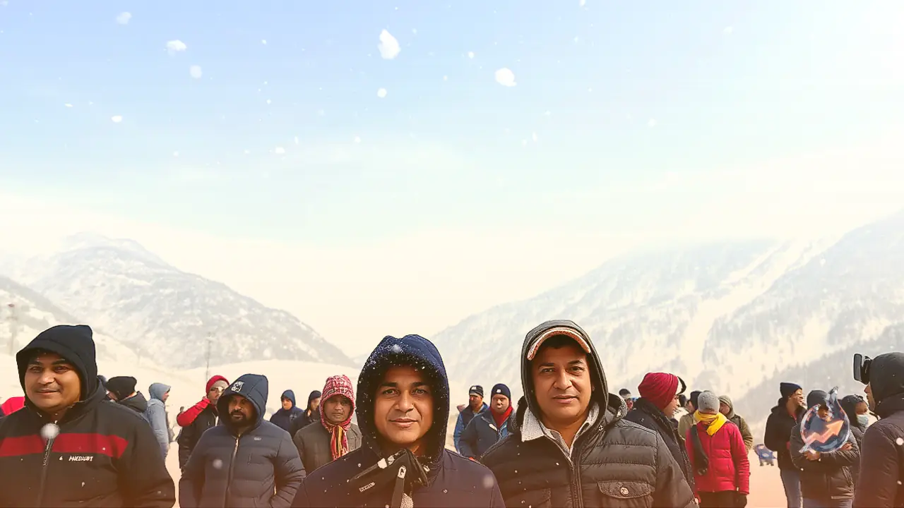




















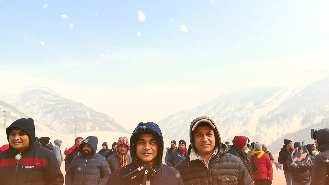

A distinct shift in weather patterns across Uttarakhand has brought early autumn chill to the higher reaches, even as lowland regions continue to experience bright sunshine. Over the past twenty-four hours, sporadic rainfall accompanied by hailstorms and gusty winds swept across multiple parts of the state, causing a sharp drop in temperatures. Mountainous areas remain partially overcast with occasional thunder and lightning, adding to the brisk cold across the terrain.
High Ridges Face Snow and Isolated Rain Spells
The upper atmospheric conditions indicate that mountainous districts will continue to witness cloud cover and localized precipitation. Specifically, summits situated at or above an elevation of 3,500 meters are likely to experience fresh light snowfall alongside very light to light showers. Atmospheric instability in these elevated belts may also trigger cloud rumbling and lightning flashes.
Looking at the district forecast, weather changes are slated for October 11 and 12 across high-altitude parts of Dehradun, Tehri, Uttarkashi, Chamoli, Rudraprayag, Bageshwar, and Pithoragarh. Furthermore, Nainital is expected to record light rain and thunder on October 13. The spell of light showers is predicted to persist on October 14 and 15 across five hill districts: Uttarkashi, Chamoli, Bageshwar, Rudraprayag, and Pithoragarh.
Dry Conditions and Clear Skies Across Haridwar and Udham Singh Nagar
In contrast to the cloudy hills, the plains are set to experience stable and pleasant weather. Districts such as Haridwar and Udham Singh Nagar will see completely dry conditions and ample daytime sunshine on October 11. While the afternoons will stay warm and clear, nighttime and early morning hours will witness a modest dip in temperatures, ushering in a light nip in the air.
Importantly, no severe weather warnings or alerts have been placed on the state between October 11 and 14. With normal weather prevailing across the plains, agricultural routines for local farmers and vehicular movement for travelers are expected to proceed without meteorological disruptions.
Atmospheric Drivers Behind Post-Monsoon Showers
The occurrence of precipitation following the seasonal retreat of the monsoon often raises questions about regional weather dynamics. Meteorologist Rohit Thapliyal noted that the withdrawal of the monsoon in October does not imply a total halt to all precipitation.
When an active western disturbance interacts with sufficient moisture in the atmosphere, it can swiftly trigger short-duration intense rainfall, hailstorms, and snowfall over elevated Himalayan slopes. This dynamic interaction explains the ongoing flurry of mountain weather despite the official monsoon exit.