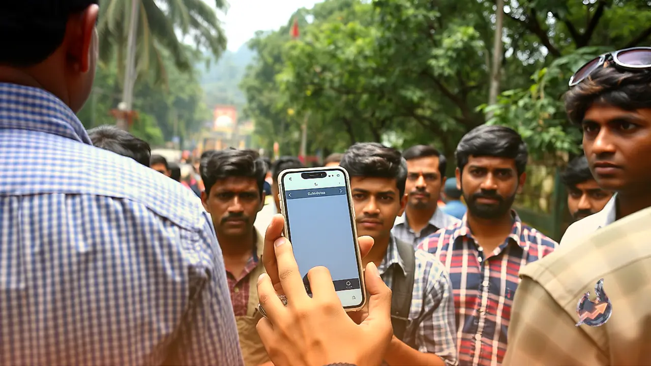



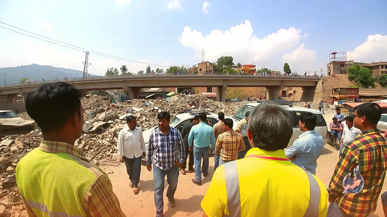


















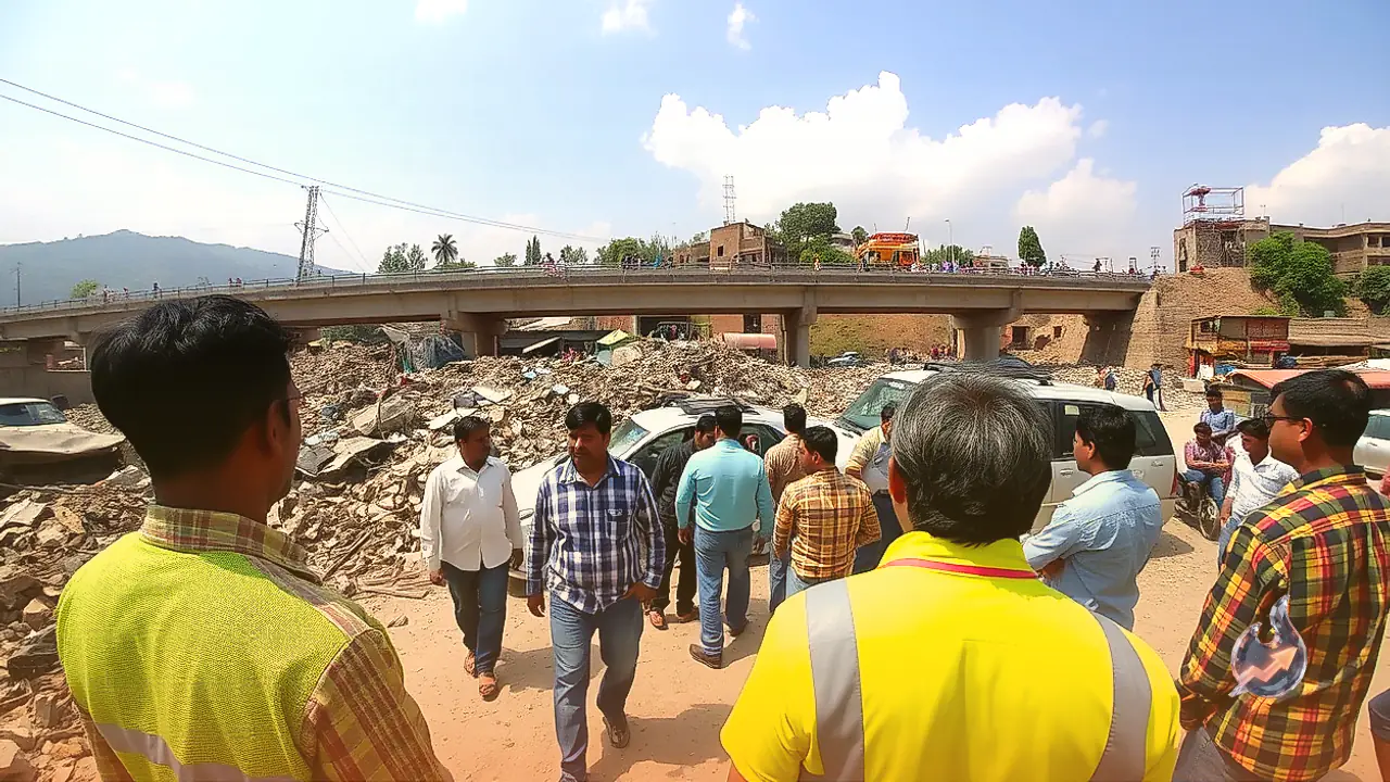

A major transportation infrastructure project aimed at decongesting Uttarakhand's provisional capital has triggered widespread panic among hundreds of urban households. Preliminary surveys and ground marking have officially commenced for a planned elevated highway connecting Asharodi to Mianwala. Survey teams have started painting red markings on residential structures and commercial establishments situated along the proposed alignment. Initial estimates indicate that more than 200 properties spread over 15 neighborhoods could be impacted by the acquisition drive. While certain buildings are slated for complete demolition, others are expected to suffer structural slicing, sparking immediate pushback and organized protests from resident communities.
Tackling Chronic Bottlenecks Along the Southern Corridor
The newly developed Delhi-Dehradun Expressway culminates near the entry point of Asharodi. Beyond that threshold, arriving motorists merge into dense metropolitan stretches choked with local settlements and frequent intersections. The corridor connecting the Rispana junction to Jogiwala routinely experiences gridlock, creating severe transit delays across peak commuter hours. To circumvent these bottlenecks, the National Highways Authority of India (NHAI) designed a 13-kilometer elevated route linking Asharodi directly with Mianwala. The entire infrastructure undertaking is projected to cost around ₹2,000 crore. Notably, nearly half of this capital outlay, estimated at ₹1,000 crore, has been earmarked strictly for acquiring private plots and compensating affected owners. The Detailed Project Report (DPR) outlining these engineering specifics has already been submitted to the central government for final evaluation.
Neighborhoods Organize Over Loss of Dwellings
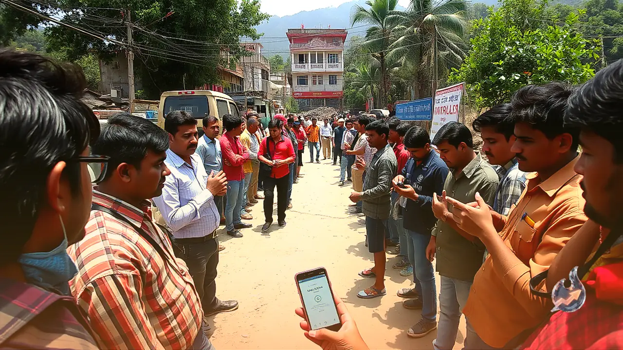
Tensions have escalated steadily since official survey parties began stamping buildings with red markers. Apprehensive over the imminent destruction of their homes, affected residents have formed a dedicated action committee to collectively lobby against the project. The committee has formally demanded the revocation of the land acquisition notification, arguing that the displacement will shatter the livelihoods of numerous families. Demands have also surfaced calling for a complete shelving or realignment of the elevated corridor. Officials point out, however, that the exact count of entirely demolished versus partially impacted buildings will only become definite once final surveying and legal demarcation are wrapped up.
Footprint Covers Private Properties Across Fifteen Localities
The geographic scope of the acquisition effort spans a broad swath of urban pockets. Properties are being surveyed in Majra, Dehrakhas, Brahmanwala, Sewla Khurd, Badripur, Majrimafi, Mohabbewala, Mohkampur Khurd, Kargi Grant, Shahnagar, Ajabpur Kalan, Ajabpur Khurd, Chakshahnagar, Chak Ajabpur Khurd, and Taluk Dehradun. Engineering assessments show that a 23-meter-wide clearance is necessary along the five-kilometer section between Ajabpur and Mianwala. This designated stretch accommodates numerous private plots, multi-story residences, and retail shops, alongside select parcels owned by the railways and the state government.
Current Status and Pending Clearances
Addressing the ongoing groundwork, NHAI Project Director Saurabh Singh confirmed that the land procurement process for the elevated corridor has been initiated and field demarcations are currently underway. Singh also noted that the DPR remains under review with central authorities. While urban planners maintain that the elevated expressway will fundamentally ease traffic pressure across Dehradun, affected property owners remain focused on the legal contours of acquisition, financial compensation packages, and upcoming administrative directives.