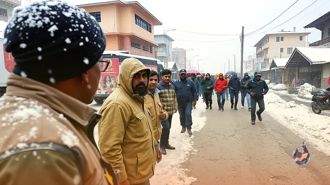

























Atmospheric disturbances have surged across Uttarakhand right after the formal departure of the southwest monsoon, bringing an unexpected spell of stormy weather across both mountainous belts and foothill plains. Meteorological forecasts point to intense rainfall across pockets of Dehradun, Nainital, and Pithoragarh districts on 9 October. At the same time, fresh layers of seasonal snow gathering across high Himalayan ridges are set to replace the gentle autumn cool with an early, piercing winter freeze. Valley settlements and plains are bracing for lightning strikes, sharp thunder, and damaging wind squalls.
Gusty Winds and Lightning Warnings Across All Thirteen Districts
Travellers navigating narrow mountain roads and residents in vulnerable valleys have been urged to stay watchful as unsettled skies spread statewide. On 9 October, sporadic thunderstorm activity accompanied by cloud-to-ground lightning is expected across all 13 districts. Gusty winds blowing between 40 and 50 kmph are likely to sweep through open terrains and mountain passes. Meteorologists emphasize that this atmospheric turbulence will not dissolve within twenty-four hours; intermittent showers and high-altitude snowfall are projected to persist in intervals through 14 October.
Stormy Conditions Across Dehradun, Rishikesh, and Mussoorie
The state capital alongside neighbouring destinations such as Rishikesh and the hill town of Mussoorie will remain blanketed under dense cloud cover on 9 October. A yellow alert for heavy rain covers Dehradun district, highlighting the threat of lightning bolts and strong wind squalls. Rural sectors of the Dehradun belt already experienced violent wind gusts and heavy downpours during the previous 24-hour cycle, which uprooted trees and severed overhead power lines, disrupting local electrical supply. The current disturbance carries similar risks of fallen branches and short-term utility outages.
Falling Mercury Across Nainital and the Kumaon Foothills
Adverse atmospheric conditions will prevail throughout Nainital district, taking in key centres such as Bhimtal, Bhowali, and the plain town of Haldwani. Authorities have explicitly cautioned tourists and local inhabitants against seeking shelter under tall trees during blustery spells due to the risk of falling branches. Cool westerly currents blowing across the higher elevations of Nainital are driving down both daytime and nighttime temperatures sharply, prompting shoppers and visitors across hillside markets to pull out heavy woollens far earlier than usual.
Heavy Showers and Highland Snow in Pithoragarh and Bageshwar
Frontier regions in Pithoragarh face substantial precipitation in lower valleys, whereas high-altitude passes and ridges around Munsyari, Dharchula, and ridges standing at or above 4,200 metres are set to receive fresh snowfall. In the adjoining valleys of Pithoragarh and Bageshwar, squalls gusting between 30 and 40 kmph combined with frequent lightning strikes could disrupt outdoor movement and agricultural work across terraced hillsides.
Strong Squalls Sweep Tehri and Pauri Garhwal
Across the Garhwal hills, Tehri and Pauri Garhwal districts will experience scattered light to moderate showers accompanied by lightning on 9 October. Weather projections indicate wind gusts reaching 30 to 40 kmph across both territories. Major regional towns including New Tehri, Narendra Nagar, Kotdwar, and Srinagar will see sudden bursts of wind and shifting cloud decks throughout the day, creating challenging conditions for motorists on hillside bends.
Extended Snowfall and Cooling Trend Through 14 October
In the upper reaches of Uttarkashi, Chamoli, and Rudraprayag, thunderstorms and snow above 4,200 metres mark the beginning of the cycle on 9 October. The weather system is slated to intensify statewide on 10 October, dragging the snowline down to elevations around 3,800 metres. By 11 October, plains like Haridwar and Udham Singh Nagar will transition to dry weather, even as scattered showers linger over the hill districts. Light precipitation alongside snowfall at 3,800 metres will persist across Uttarkashi, Chamoli, Rudraprayag, Bageshwar, Pithoragarh, Tehri, and Dehradun on 12 and 13 October. Activity will gradually taper off by 14 October, leaving only isolated flurries and drizzles on the loftiest peaks of Uttarkashi, Chamoli, and Pithoragarh.