





















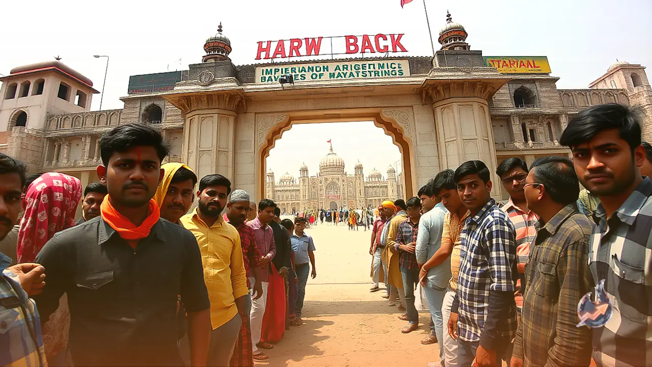

The holy city of Haridwar is globally recognized for its sacred Ganga ghats and deeply rooted spiritual landmarks. Tucked away among its historic pathways and revered riverbanks are several locations whose unusual names consistently spark curiosity among pilgrims and visitors. Just a short distance from the iconic Har Ki Pauri, a massive open ground continues to be referred to in everyday parlance as Chamgadar Tapu, meaning Bat Island. Over the decades, development and infrastructure projects have drastically altered the geography of the area, yet the vintage moniker has firmly endured.
Colonial Era Woodland Along the Banks of the Ganga
Explaining the origins of this peculiar name, senior journalist Ratnamani Dobhal from Haridwar shared details about the region's historical landscape. During the British colonial era and the initial decades following India's independence, this entire stretch along the sacred river was enveloped in thick, undisturbed forest. Back then, there were no wide metalled highways or sprawling concrete bridges connecting the ghats. Travelers relied almost entirely on a narrow dirt trail to move across the terrain. Dominated by massive native trees, the untouched riverside vegetation formed an ideal sanctuary for bats.
Thousands of Roosting Bats and the Birth of a Moniker
During daylight hours, thousands of bats could be seen hanging upside down from the sprawling boughs of the canopy. The sight of dense bat colonies clinging to the towering trees became an unmistakable landmark for passersby, pilgrims, and local residents navigating the riverside track. Through routine daily conversation, people began referring to the forested river bank as Chamgadar Tapu. With time, the colloquial description cemented itself as the definitive geographic label for the area, persisting even as the ecological backdrop shifted.
Urban Expansion, Kumbh Fair Grounds, and Vanishing Greenery
Rajiv Bhatt, a long-time resident of Haridwar, recalls how the holy town was once surrounded by untamed wilderness on all sides. The banks of the river Ganga hosted a rich variety of old trees where massive populations of bats thrived without human disruption. However, as pilgrimage traffic surged and municipal needs multiplied, rapid civil development changed the scenery. Extensive stretches of trees were felled to accommodate festival infrastructure, expand designated mela grounds, and establish wide parking zones for vehicles. As their habitat dwindled, the bats eventually abandoned the grounds and flew away elsewhere.
A Lasting Identity That Outlived Its Wild Inhabitants
While the colonies of bats have long departed and the dense forest has transformed into a flattened, open field, the vintage designation remains immortal. Much like several other historic corners across Haridwar where informal titles outlive modern renamings, Chamgadar Tapu continues to be celebrated in colloquial language. Surrounded by modern urban development and asphalt, this open ground stands as a living reminder of the natural heritage and dense woodland that once defined the riverfront.