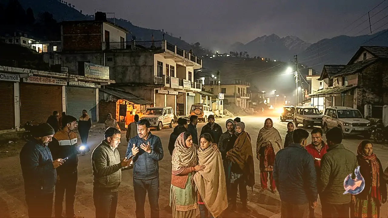























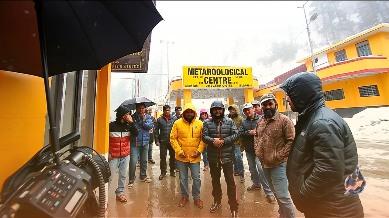

A sudden atmospheric shift is sweeping through Uttarakhand this October, bringing a noticeable dip in temperatures across both highland valleys and low-lying plains. The Meteorological Centre in Dehradun has alerted administrative authorities and the general public regarding impending inclement weather across eight districts. Between 6 and 9 October, a yellow alert remains operational across multiple parts of the hill state, signalling erratic weather patterns characterized by rain showers, thunderstorms, and high-altitude snowfall that could rapidly usher in early winter conditions.
Gusty Winds and Lightning Threaten Plains and Foothills
In the state capital Dehradun and the pilgrim center of Haridwar, atmospheric conditions are projected to deteriorate over the course of the day. Weather forecasters have warned that winds gusting between 30 and 40 kilometers per hour are expected to sweep across these foothill and plains districts, accompanied by sharp lightning strikes. In the holy town of Rishikesh, cloud cover persisted from the early hours, transitioning into evening thunderstorms and downpours. While these convective spells have offered substantial relief from muggy humidity, the sharp drop in mercury has already triggered a distinct chill during morning and evening hours.
Widespread Showers and Falling Mercury Across Kumaon Hills
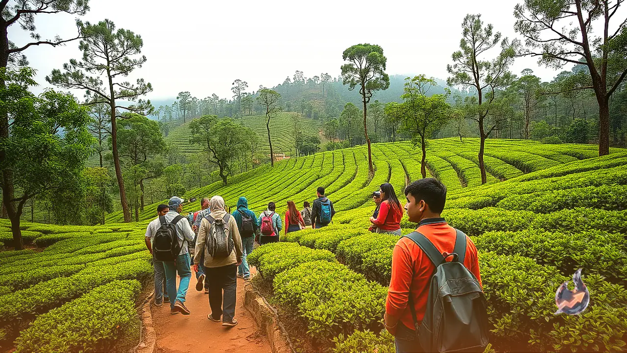
The Kumaon division is similarly bracing for unstable weather, with specific warnings active for the hill districts of Nainital, Almora, and Champawat. Meteorological bulletins indicate that several pockets within these regions could witness cloudburst-like thunder, lightning, and sudden gusts of wind. Light to moderate showers are likely to sweep through popular tourist destinations and lower valley floors around Nainital. These intermittent rains have caused a marked plunge in valley temperatures, compelling local residents and visiting tourists alike to put on woolens as cold conditions settle in earlier than usual.
Garhwal Administration on Alert Amid Thunderstorms
Similar turbulent atmospheric patterns are expected across the key Garhwal districts of Tehri and Pauri. Forecasters have warned that winds reaching velocities of 30 to 40 kmph combined with frequent lightning discharges will impact these mountain terrains. Dense cloud layers continue to hover over the Tehri Lake basin and surrounding ridge lines, producing scattered light to moderate rainfall. Authorities anticipate that these disturbed conditions will linger across Tehri, Pauri, and adjacent Garhwal zones through 9 October, prompting administrative officials to maintain a high level of preparedness.
Foothill Alerts and Deepening Snowline in Upper Himalayas
In the southern plains of Udham Singh Nagar, thunderstorm activity accompanied by high-velocity wind bursts is on the radar. However, weather systems in both Haridwar and Udham Singh Nagar are projected to transition toward dry conditions around 11 and 12 October. In sharp contrast, high-altitude peaks rising above 4200 meters in Uttarkashi, Chamoli, Rudraprayag, Bageshwar, and Pithoragarh are set to receive fresh snowfall. Explaining the expanding freeze, Meteorological Centre Director Dr. CS Tomar stated, "Between 9 and 12 October, the snowfall line could descend to around 3800 meters." He noted that while plains recorded above-normal maximum temperatures over the past 24 hours, mountain highs hovered at or below normal, ensuring a rapid escalation of winter chill across the state.