






















Weather conditions across the hill stations and plains of Uttarakhand have taken a sharp turn as a fresh spell of rainfall grips the region. According to the latest advisory issued by the Meteorological Center in Dehradun, residents and travelers in the mountainous districts must exercise extreme caution on September 16 due to the forecast of intense downpours accompanied by thunderstorms and lightning. The ongoing active phase of the monsoon has brought light to moderate precipitation across multiple parts of the state over the past twenty-four hours, triggering a noticeable dip in daily temperatures.
Chamoli Landslide Disrupts Vital Road Link
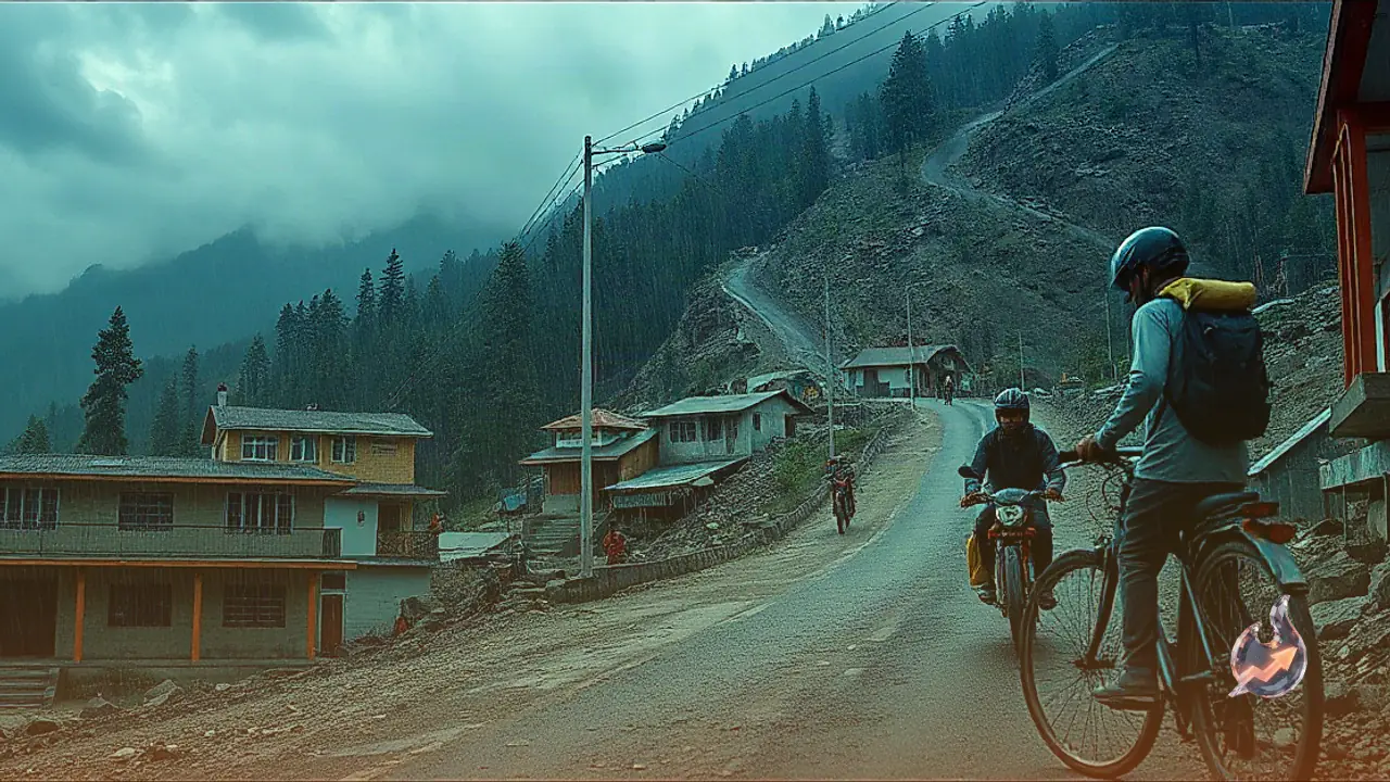
The impact of relentless downpours has been acutely felt in the Chamoli district, where heavy debris came crashing down near Bairagana on the Gopeshwar-Mandal-Chopta motor road. This sudden blockade has brought vehicular movement on the key route to a complete standstill, leaving long queues of stranded vehicles and causing immense hardship to both local commuters and visiting tourists. District administration and public works department personnel have been deployed to clear the accumulated mud and rocks, though intermittent rainfall continues to hamper clearance operations on the ground.
Rising Challenges in High Altitude Districts
In high-altitude and border districts such as Chamoli, Rudraprayag, and Uttarkashi, continuous rainfall has driven temperatures down below seasonal averages, bringing an early hint of chill to the air. Authorities are keeping a close watch on vulnerable stretches along the pilgrimage routes leading to Kedarnath, Badrinath, Gangotri, and Yamunotri. Meteorological forecasters indicate that these areas could experience heavy thunderous showers, prompting local officials to urge residents living near overflowing streams and vulnerable slopes to stay on high alert.
Dehradun and Surrounding Hills Expect Showers
The state capital of Dehradun and its neighboring areas woke up to heavily overcast skies, with moderate afternoon spells predicted for Dehradun, Mussoorie, Rishikesh, and Tehri Garhwal. Following days of humid weather, temperatures in the Doon valley have normalized, while the surrounding hills have cooled off by two to three degrees. Authorities note that persistent precipitation in the upper catchment areas could potentially swell river levels across the plains.
Conditions Across Plains and Kumaon Region
In the prime plain districts of Haridwar and Udham Singh Nagar, covering locations such as Kashipur, Rudrapur, and Khatima, weather conditions are expected to remain relatively stable with occasional light showers or thundershowers in isolated pockets. Meanwhile, across the Kumaon division including Nainital, Almora, Pithoragarh, Champawat, and Bageshwar, local weather stations have highlighted the likelihood of active cloud cover. Disaster management teams have been positioned at vulnerable bends and riverbanks throughout these zones.
Outlook for Coming Days
Looking ahead, meteorological models suggest a tapering off of severe weather warnings after September 16. On September 17, isolated pockets of the hill districts alongside Haridwar and Udham Singh Nagar may witness light to moderate rain. By September 18 and 19, precipitation is expected to shrink to light stray showers statewide. As the system moves further towards September 20 and 21, rain intensity is projected to drop significantly across the entire region.