




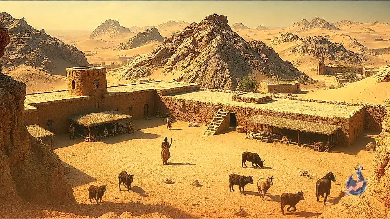


















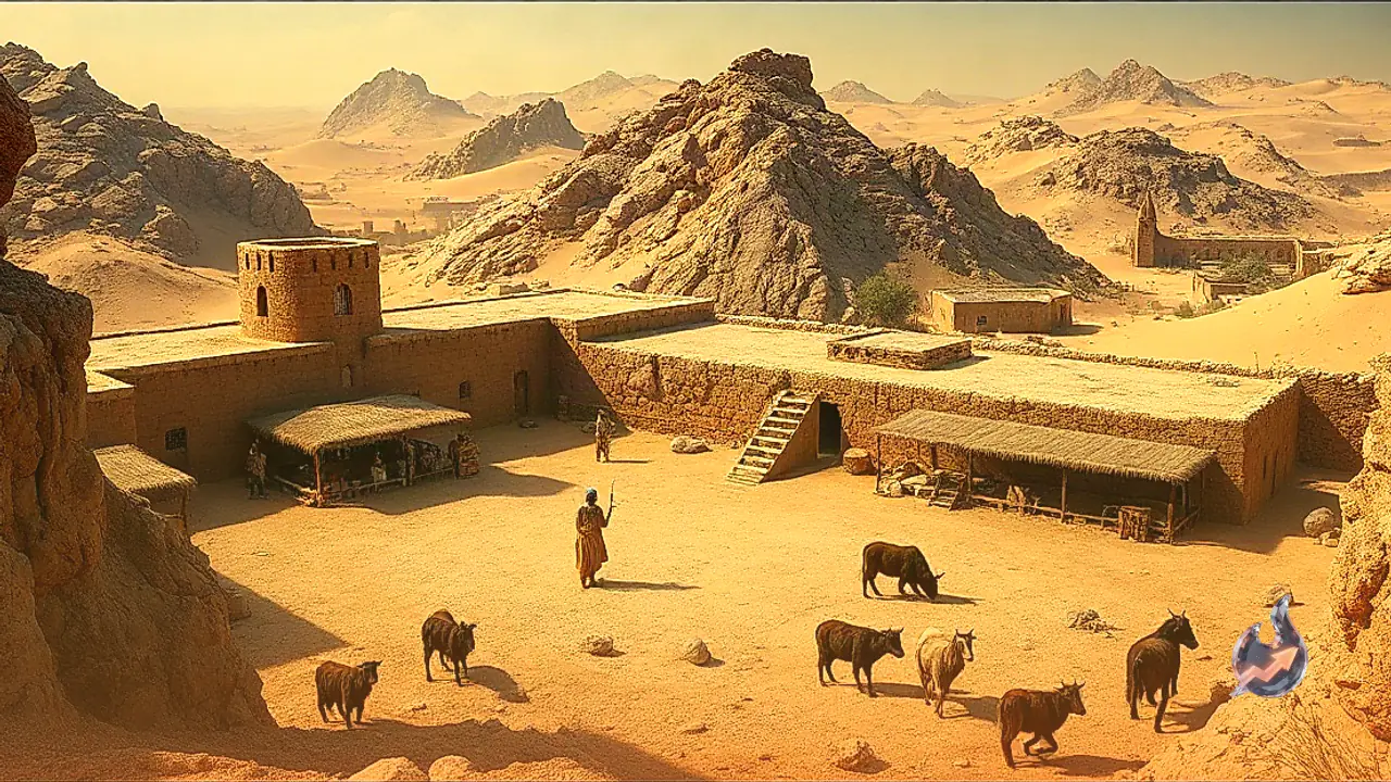

A transformative archaeological finding in North Africa is reshaping long-standing perspectives on ancient human organization and regional security. In the fertile Oued Beht river valley of Morocco, researchers have identified the remains of a 4,000-year-old defensive perimeter that fundamentally challenges modern concepts of territorial protection. While modern states deploy staggering financial capital to construct concrete barriers, sophisticated radars, and missile shields, this Bronze Age community established a formidable protective network relying solely on locally available geological materials and coordinated communal labor, operating without modern technology or vast monetary reserves. Outside Egypt's Nile Valley, this stands as the oldest known fortified enclosure across the entire northern expanse of the African continent.
Extensive Excavations in the Oued Beht River Valley
The ancient settlement lies roughly 80 kilometers from Rabat, the contemporary capital of Morocco, positioned within the Oued Beht river basin. The discovery emerged from a collaborative field expedition conducted by a multinational scientific team representing institutions from Italy, Morocco, and England. Through rigorous stratigraphic excavation, the team exposed a complex perimeter marked by extensive earthworks, defensive trenches, elevated earthen mounds, and dense structural walls that encircled the prehistoric community.
Italian archaeologist Giulio Lucarini, an author of the research study, highlighted that the most substantial surviving architectural feature is a robust wall guarding the southern approach of the settlement. Detailed dating suggests that the foundation courses of this southern wall were laid between 3,500 and 4,000 years ago. The discovery firmly establishes that organized communal defensive architecture was developing in western North Africa concurrently with celebrated Bronze Age societies elsewhere around the Mediterranean basin.
Fortifications Engineered from Silt, Ash, and Native Stone
What sets the Oued Beht perimeter apart from classical ancient strongholds is the deliberate simplicity of its primary ingredients. The builders did not quarry exotic stones or rely on costly imported bonding agents. Instead, they utilized native materials gathered directly from the surrounding river valley environment, synthesizing a composite matrix of mud, ash, river silt, and unworked fieldstones to fashion enduring barriers.
Despite the humble nature of these earthbound elements, the construction exhibits a sophisticated understanding of mechanical stability and architectural durability. The carefully compacted earthen ramparts and masonry courses proved resilient enough to withstand millennia of environmental erosion. This reliance on raw earth, ash, and river cobbles illustrates how prehistoric communities applied astute engineering techniques to convert common environmental resources into a robust, landscape-scale protective barrier.
Guarding Agricultural Abundance Instead of Military Garrisons
The scale of the earthworks naturally led excavators to investigate the underlying motivation behind such labor-intensive civil engineering. A community investing immense physical energy into digging moats, piling mounds, and raising walls must have been protecting an asset of critical importance. The research findings established that the enclosure was never intended to function as an offensive staging ground or a military garrison. Instead, it was systematically laid out to safeguard an immense agricultural production and storage complex.
Contained safely behind the defensive ramparts were extensive installations dedicated to farming operations, the penning of domesticated livestock, and the secure preservation of seasonal crop yields. In an era when unpredictable climatic shifts could threaten regional survival, protecting herds and harvested grain from theft, foraging wildlife, or rival raiding parties was essential for societal stability. The fortification was, at its core, a physical safeguard for the community's foundational food supply.
Bell-Shaped Pits Point to a Regional Grain Depository
During the subsurface exploration of the site, archaeologists brought to light dozens of large subterranean storage pits carved into characteristic bell shapes. Scientific analysis indicates that these deep chambers were engineered specifically for the airtight bulk storage of harvested cereals and grains, protecting stores against moisture, spoilage, and pests.
Crucially, the aggregate volumetric capacity of these bell-shaped subterranean silos far exceeded the dietary requirements of the immediate population residing within the settlement perimeter. This significant surplus capacity indicates that Oued Beht was operating as an overarching central agrarian storehouse and distribution node, serving not merely the inhabitants of the immediate valley settlement but an extensive network of neighboring settlements and surrounding communities across the broader landscape.
Internal Rivalry and Resource Control Behind the Ramparts
Historically, fortified perimeter walls are frequently attributed to the threat of marauding foreign invaders or nomadic raiders. However, the dynamics at Oued Beht point toward a more localized, complex socioeconomic impetus. Giulio Lucarini observed that researchers cannot yet definitively identify the exact adversaries against whom the ancient inhabitants were fortifying their settlement.
Lucarini suggested that the community may not have been reacting to external foreign invasions at all. Instead, the erection of these defensive barriers was more likely prompted by escalating local competition over fertile agricultural land, freshwater access, and critical food reserves, alongside a collective drive to secure regional trade routes under organized local leadership.
Elaborating on the organizational scale required for such construction, Lucarini stated that an enterprise of this magnitude could never have occurred spontaneously or without meticulous forethought. It demanded sophisticated strategic planning, precise exploitation of the local topography and terrain, and the sustained coordination and mobilization of a substantial workforce over an extended duration.
Rewriting a Perceived Blank Page in North African Prehistory
The revelations from Oued Beht extend far beyond individual architectural features, delivering a decisive correction to long-held assumptions regarding North African archaeology. The surrounding territory, historically designated in Arabic as the Maghreb and encompassing contemporary nations such as Morocco, Mauritania, Algeria, Tunisia, and Libya, had frequently been marginalized in broader historical narratives as an underdeveloped periphery.
Giulio Lucarini remarked that for more than a hundred years, archaeological scholarship tended to treat the Maghreb as a relative void or an empty slate within wider Mediterranean history. Recent scientific breakthroughs, however, have conclusively demonstrated that this perceived absence of complex society was merely the product of a historical deficit in rigorous archaeological exploration rather than an actual historical reality.
Earlier breakthroughs in paleogenomics had already documented that hunter-gatherer populations navigated across the Mediterranean from Europe into the Maghreb approximately 8,500 years ago. Furthermore, just last year, the same scientific consortium identified the remains of a prehistoric settlement named Kach Kouch, situated 190 kilometers north of Oued Beht in Morocco's Rif mountains near the Strait of Gibraltar, demonstrating continuous, widespread human habitation across the territory.
Bronze Age Connections Across the Strait of Gibraltar
Published on September 7 in the academic journal Libyan Studies, this comprehensive investigation underscores the existence of vital transcontinental relationships connecting North Africa with southwestern Europe during this epoch. Across the Strait of Gibraltar in prehistoric Iberian settlements, excavations have repeatedly recovered worked African ivory and fragments of ostrich eggshells, establishing unequivocal evidence of trans-Mediterranean exchange networks. The discovery at Oued Beht now presents the complementary African dimension of these prehistoric connections.
At the same time, the research illuminates notable structural contrasts between the societies developing on opposite sides of the maritime corridor. In contemporary Bronze Age Iberia, elevated hilltop towns featured towering stone fortifications, bronze metalworking, and richly furnished elite burials that attested to deep economic stratification and emerging social inequality. In contrast, while the Oued Beht defensive system in Morocco was comparatively more modest in physical scale, it demonstrated a communal engineering tradition centered around agrarian surplus, collaborative defense, and collective food security.