


















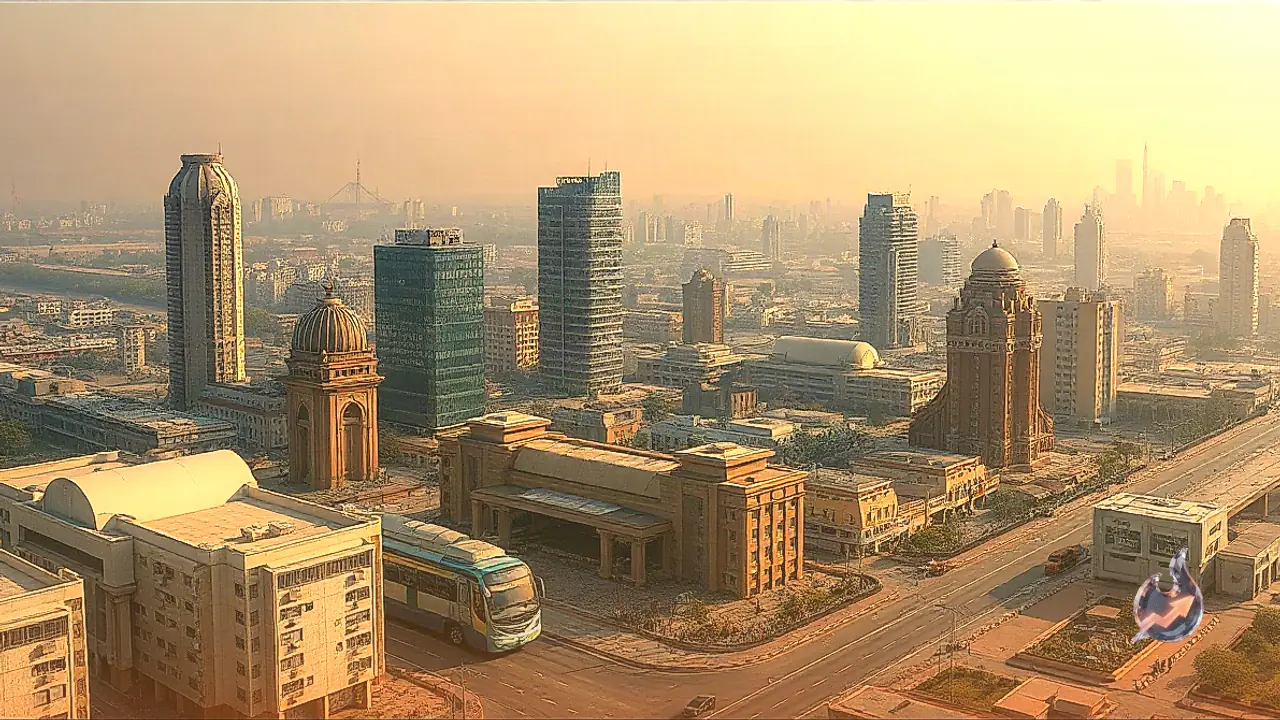

In a major policy initiative aimed at transforming urban property rights across the national capital, the Delhi Master Plan 2047 has laid down provisions to convert private leasehold land into freehold property within Transit-Oriented Development (TOD) corridors. This strategic decision aims to encourage private sector participation while delivering absolute and permanent ownership rights to individual property holders.
Transition from Leasehold Framework to Absolute Ownership
Under the existing real estate regime in Delhi, a massive number of residential and commercial properties operate on a leasehold basis. In this long-standing arrangement, the ultimate title and land ownership rest with public authorities such as the Delhi Development Authority (DDA), leaving leaseholders with restricted operational and usage rights. The rollout of the Master Plan 2047 resolves this restriction by creating a direct pathway to complete ownership.
According to the Master Plan 2047 provisions, individual leasehold plots forming part of consolidated TOD plots will be declared freehold, provided property owners clear all outstanding financial dues and secure the necessary regulatory clearances. Securing freehold status grants owners complete and permanent rights over both the underlying land and any structure constructed upon it. However, the policy explicitly excludes leasehold institutional plots, which will continue to be governed under their current institutional lease terms.
Role of DDA as Nodal Agency and Infrastructure Expansion
To expedite execution, the entire TOD corridor will be designated as an official development zone, significantly shortening the clearance timelines for building projects. The Delhi Development Authority will serve as the overarching nodal agency responsible for reviewing TOD proposals, evaluating structural plans, and sanctioning building permits.
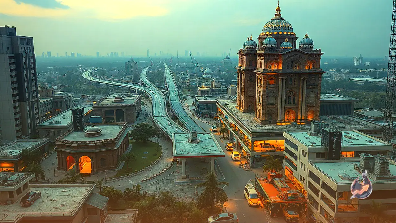
Furthermore, DDA will directly notify and undertake the physical construction and management of all roads measuring 30 meters or more in width across these corridors. Newly planned urban pockets will be constructed as self-sustained neighborhoods. These self-contained zones will integrate essential amenities, including educational institutions, healthcare centers, public parks, green belts, commercial complexes, and municipal infrastructure directly within local communities.
207 Square Kilometer Radius and Covered Neighborhoods
The urban transformation plan aligns closely with the Transit Oriented Development Policy 2026 and Master Plan 2047, mapping out an extensive target footprint of approximately 207 square kilometers. This zone spans all land parcels located within a 500-meter radius of active Delhi Metro networks, Regional Rapid Transit System (RRTS) corridors, and Indian Railways tracks.
Key transport hubs highlighted for redevelopment include major multi-modal nodes such as Anand Vihar, Karkardooma, Kashmiri Gate, and the Sarai Kale Khan to Nizamuddin stretch. In addition, urban centers surrounding key transit stations have been brought into the fold, including Jhilmil, Tahirpur, Shahdara, Madipur, Mandawali, Fazalpur, and Preet Vihar. Private landholders situated in these designated locations will now be eligible to transition from leasehold dependency to unencumbered freehold title.