























Fresh destruction images emerging from Nepal have already sent shockwaves across the entire Himalayan belt, and now a grim new warning regarding Jammu and Kashmir has heightened official anxiety. A recent scientific study carried out by researchers at the University of Jammu indicates that a substantial portion of the Union Territory's landmass remains highly susceptible to landslides. The team conducted a comprehensive analysis covering an expansive region of nearly 43,000 square kilometers. The findings reveal that 24.4 percent of the total studied area falls under high-risk categories, while an additional 3.6 percent is classified within very high-risk zones. This highlights that the geographical threat posed across the mountain ranges is substantial and demands immediate attention.
Five Districts Identified as Highly Vulnerable
The research report explicitly pinpoints five specific districts where the danger of landslips remains most acute. These regions comprise Doda, Kishtwar, Poonch, Rajouri, and Ramban. The steep mountain slopes combined with fragile geological formations in these particular districts render them exceptionally prone to shifting terrain. Furthermore, several critical transportation arteries traversing these zones also fall directly within the established danger corridors. Experts note that natural vulnerabilities are being severely compounded by unchecked human interventions and developmental activities.
Road Construction and Mountain Cutting Exacerbate Risks
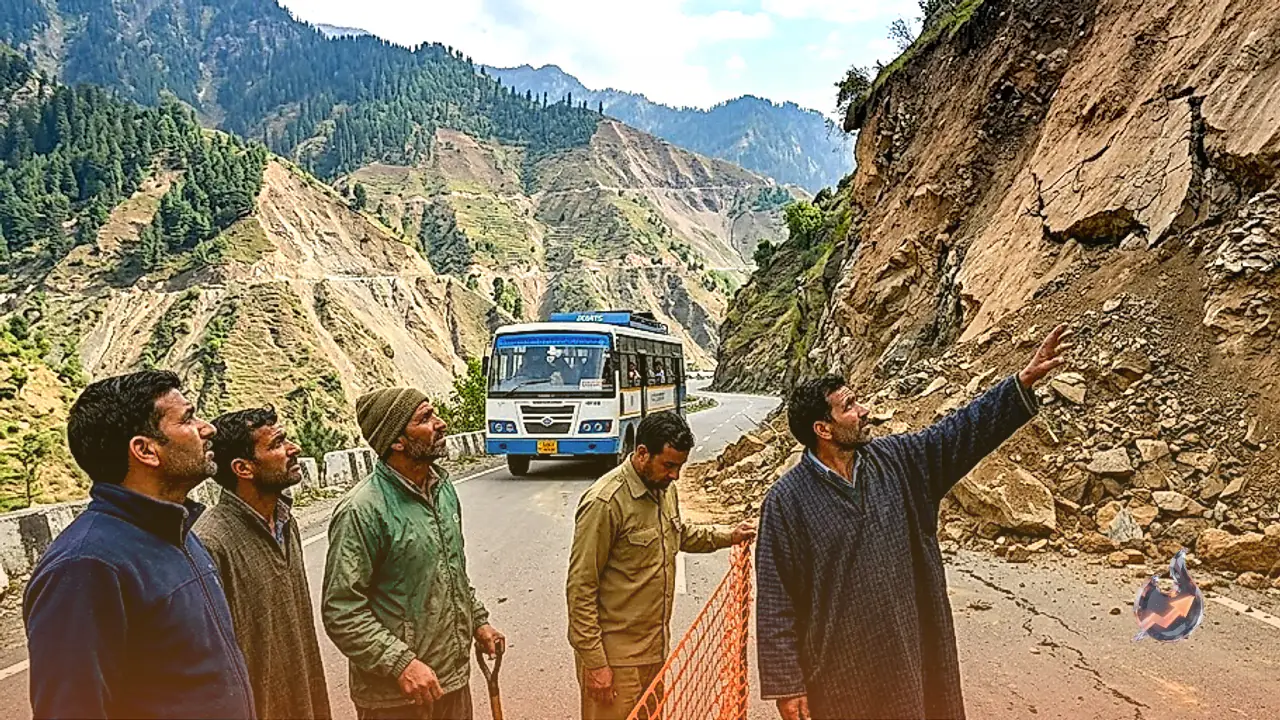
During the course of their investigation, researchers analyzed various causal factors that trigger ground displacement. Proximity to roadways, steepness of slopes, and distance from natural water streams emerged as the three most critical determinants. Areas located in close proximity to roads were found to be particularly vulnerable. This occurs because carving roads directly into mountain faces destabilizes the natural integrity of the slopes. Additionally, depleting vegetation and diminishing forest cover significantly reduce the soil matrix's inherent capacity to anchor itself firmly.
Major Highways and Vital Routes Under Threat
The study specifically highlights multiple vulnerable corridors surrounding prominent thoroughfares, including NH-44, NH-244, NH-144A, the historic Mughal Road, and the Kishtwar-Khelong road. For instance, NH-44 serves as the primary lifeline connecting Jammu directly to the Kashmir Valley. Meanwhile, NH-244 winds through the rugged mountainous terrains of Doda and Kishtwar. Consequently, any disruption caused by landslips along these vital pathways would not remain confined to isolated mountain hamlets, but would severely paralyze regional traffic and essential public services.
Analysis of 669 Historical Landslide Incidents
To arrive at these definitive conclusions, the research team utilized advanced satellite imagery, rigorous field surveys, and historical records documenting past landslide occurrences. The team evaluated 669 previously recorded events. A striking 87 percent of these historical incidents took place precisely within areas categorized under high or very high susceptibility zones in the new study. This high correlation demonstrates the exceptional accuracy and practical relevance of the newly generated risk mapping model.
An Essential Planning Tool for the Administration
Although scientists emphasize that this study should not be interpreted as a direct chronological prediction of a catastrophic event akin to the one witnessed in Nepal, the insights offer critical preparedness value. Researchers reiterate that forecasting the exact timing and precise location of an individual landslide remains technologically impossible. Nonetheless, the primary objective of the research is to identify vulnerable zones accurately. The resulting landslide susceptibility map can serve as an invaluable operational tool for local authorities to bolster precautionary measures.
Heavy Rainfall as a Major Catalyst
Inclement weather, particularly heavy and incessant rainfall, can act as a massive triggering mechanism for already weakened slopes. Continuous downpours allow moisture to seep deep into the soil and underlying rock structures, drastically reducing internal friction and stability. Under such saturated conditions, precarious slopes can suddenly give way without warning. For this reason, the scientific team strongly advocates for enhanced vigilance and proactive administrative readiness across all vulnerable sectors during rainy periods.
Broader Implications for the Himalayan Region
The catastrophic floods triggered by a massive rock and ice collapse in Nepal on August 26 have once again exposed the extreme fragility characterizing Himalayan ecosystems. While the Jammu and Kashmir study does not claim to forecast an identical localized disaster, both events serve as a stark reminder regarding the absolute necessity of monitoring natural slopes. Scientists maintain that evaluating structural risks allows authorities to implement targeted safeguards and significantly mitigate potential loss of life and property.