















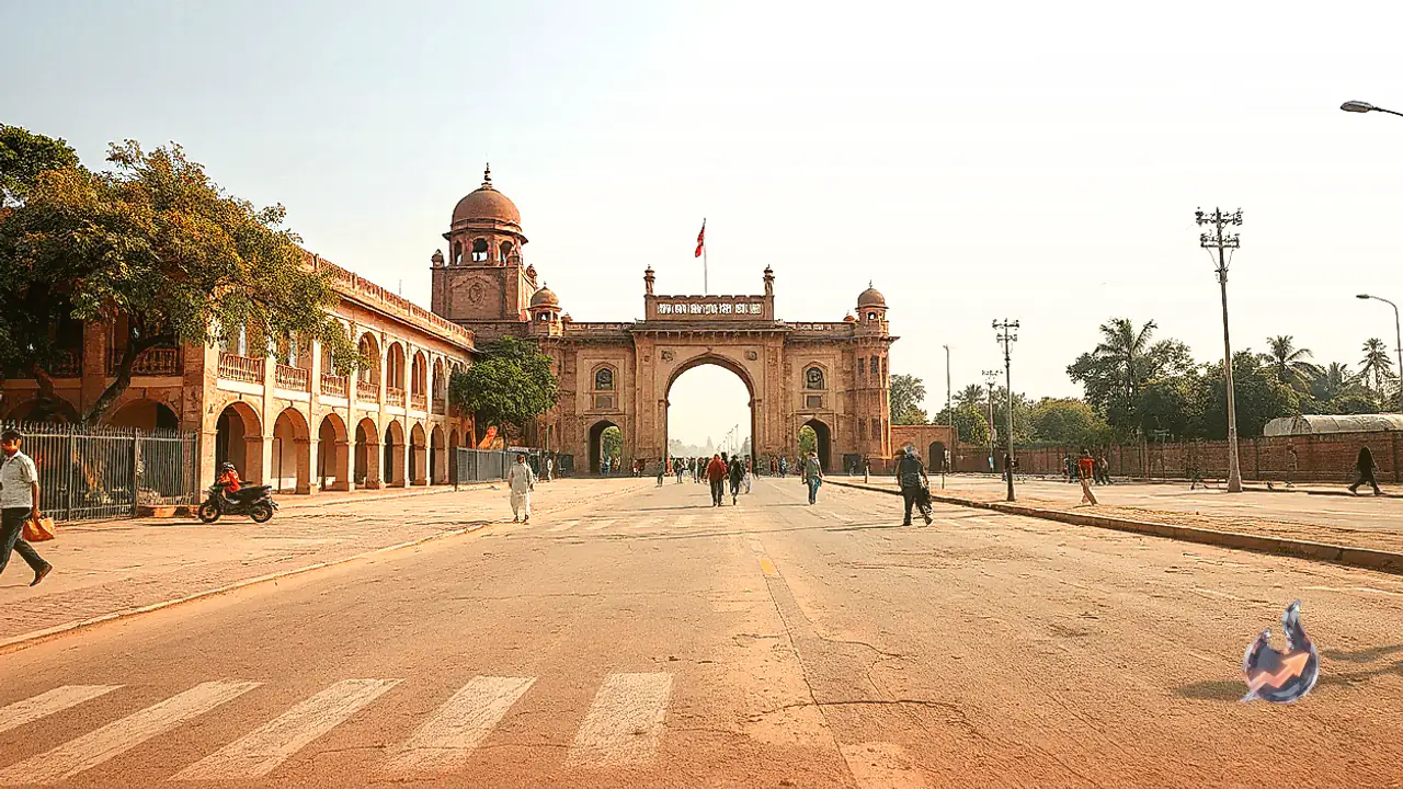

Netaji Subhash Marg, one of the most historically significant and congested transit arteries in Old Delhi, is set for a comprehensive infrastructural overhaul. The Delhi government has formulated a blueprint to develop a 3.3-kilometre heritage corridor linking Delhi Gate directly with Kashmere Gate. Spearheaded by the Indraprastha Heritage Redevelopment Corporation (IVPN), the project seeks to transform this congested stretch into an integrated urban zone where centuries-old architecture, public spaces, and contemporary transit systems coexist seamlessly.
Preserving Historical Identity Alongside Modern Upgrades
Detailing the philosophy behind the redevelopment, Chief Minister Rekha Gupta underscored that Delhi's character is rooted in its civilisational heritage. She noted that progress must not come at the expense of the city's historical soul. With landmarks such as the Red Fort, Jama Masjid, Chandni Chowk, Subhash Park, and Kashmere Gate anchoring the area, the administration aims to introduce civic amenities that elevate the stature of these monuments while resolving persistent urban bottlenecks.
Three Distinct Zones Structured by Street Width
Because the physical width of Netaji Subhash Marg varies widely, planners have divided the 3.3-kilometre route into three functional segments. The first section spans from Kashmere Gate to the GPO Chowk, representing the heaviest traffic density along the corridor. The road width across this initial stretch ranges between 12 and 24 metres.
The second segment stretches from GPO Chowk to Brij Mohan Chowk, the critical intersection that branches off toward Jama Masjid. This central segment offers the widest operational profile, boasting an average width of 45 metres. The final stretch runs from Brij Mohan Chowk to the Delhi Gate intersection, where the existing street width ranges from 16.8 to 26 metres. Every section will be engineered according to actual ground conditions to ensure balanced space allocation for motorists, non-motorised transit, and pedestrians.
Dedicated Infrastructure for Walkers, Cyclists, and Commuters
The redesign adopts guidelines established under the ongoing Public Works Department (PWD) streetscaping initiative. The corridor will incorporate demarcated bus lanes alongside designated lanes for private vehicular traffic. To address longstanding safety concerns for walkers, extensive footpaths, dedicated cycle tracks, pedestrian plazas, and organised parking bays will be constructed along the route.
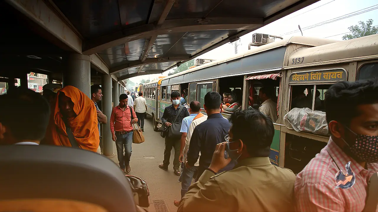
Commuter facilities will receive substantial upgrades, including modern public convenience blocks on both sides of the corridor. Existing bus stops will be overhauled with modern structural designs and enhanced passenger amenities, creating an accessible environment for everyday users of public transportation.
Integrating Twelve Key Landmarks and Green Belts
A defining aspect of this initiative is the cohesive development of cultural and historical spaces bordering Netaji Subhash Marg. The project footprint encompasses renowned sites including the Red Fort, Jama Masjid, St. James Church, Kashmere Gate area, Chandni Chowk crossing, Agrasen Park, Sunehri Masjid, IGT University, Subhash Park, and Hindi Park.
Furthermore, the plan integrates 12 major surrounding civic locations and open green pockets. These designated spaces include the Lothian Cemetery, Old Railway Station Chowk, the Red Fort green belt, Red Fort Dussehra Ground, the Chandni Chowk-Red Fort junction, Sunehri Masjid garden, Brij Mohan Chowk, Ekta Sthal, and Delhi Gate Chowk. Through unified landscaping and architectural renewal, the corridor aims to revitalise civic movement and tourist access across Old Delhi.