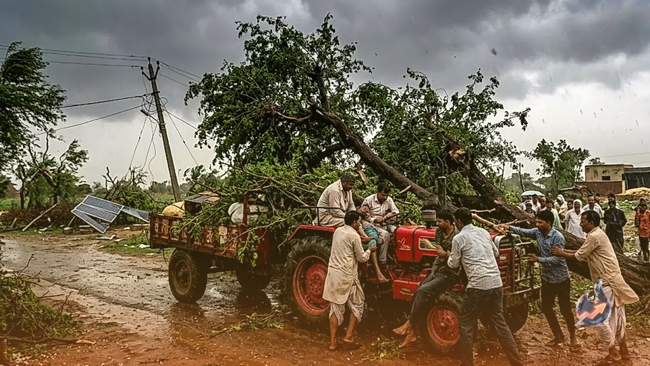

























Atmospheric dynamics over the desert state of Rajasthan are set for a sharp transition as an incoming western disturbance begins asserting its influence. This weather system is projected to trigger cloud activity, lightning strikes, and light to moderate rainfall across multiple eastern and western pockets on October 15. Ground wind speeds accompanying these unstable conditions are likely to range between 30 and 40 kilometres per hour. The disturbance arrives immediately after mercury levels soared to 40 degrees Celsius in Jaisalmer on Wednesday, signaling a dramatic shift from intense dry heat to turbulent weather.
Severe Weather and Hail Threat Over Western and Northern Zones
Meteorological projections highlight that the primary impact of this instability will be concentrated over western Rajasthan, specifically engulfing the Bikaner division along with surrounding plains. Over the course of October 15, atmospheric instability across Bikaner, Sri Ganganagar, Hanumangarh, Churu, Nagaur, and Phalodi will support thunder development along with intermittent light to moderate precipitation, alongside gusty surface flows moving at 30 to 40 kmph.
Elevated warnings for localized hailstorms, dangerous cloud-to-ground lightning, and abrupt squalls have been earmarked particularly for Bikaner and Hanumangarh. Similarly, agricultural expanses across Churu and Sri Ganganagar face risks from tempestuous winds and severe rumblings. Pockets within the Didwana-Kuchaman belt are also under alert for localized hail, raising operational challenges for rural settlements and farm holdings throughout these arid expanses.
Expansion Across Jaipur and Bharatpur Regional Belts
As the weather system progresses eastward, its trajectory will cover substantial parts of eastern Rajasthan during October 15 and 16. Widespread cloud buildups with light to moderate showers are anticipated across districts falling under the Jaipur and Bharatpur administrative divisions. These include Jaipur, Alwar, Bharatpur, Dausa, Dholpur, Karauli, Sawai Madhopur, Deeg, Jhunjhunu, Sikar, Khairthal-Tijara, and Kotputli-Behror.
Throughout these districts, squally winds fluctuating between 30 and 40 kmph are expected to accompany frequent thunderstorm episodes. Forecasters have pinpointed parts of Alwar, Deeg, Jhunjhunu, Sikar, Khairthal-Tijara, and Kotputli-Behror as susceptible to hail bursts. Rural belts of Jaipur division may also witness scattered hail events, while localized showers remain probable across parts of the Ajmer division.
Official Advisory for Protecting Harvests and Grain Stockpiles
Given the sensitivity of standing crops and harvested produce lying in open marketplaces, meteorological authorities have urged swift protective measures. Highlighting the unfolding situation, the official center wrote on X that northwestern and northern sectors face a strong likelihood of rain over two to three days, cautioning farmers to protect mature crops and market yard commodities from water damage.
Agronomists point out that the current window coincides with critical post-harvest drying of summer yields and land preparation for winter sowing. Produce stored without waterproof coverings or left in open agricultural procurement yards risks discolouration, moisture spoilage, and structural destruction from icy pellets. Ensuring heavy-duty tarpaulins are securely fastened over grain stocks across wholesale mandis has therefore become an immediate priority.
Temporal Horizon and Essential Safety Precautions
The disturbance is slated to maintain a relatively brief operational window across the region. Conditions over western Rajasthan are anticipated to dry out rapidly beginning October 16. In contrast, residual moisture could sustain scattered showers across isolated parts of eastern Rajasthan through October 16, before dry, stable weather establishes total control over the entire state by October 17.
During periods of active lightning and sudden wind acceleration, citizens are advised to exercise prudence regarding outdoor exposure. Seeking cover under solitary trees, electric pylons, metal sheds, or fragile hoardings poses substantial hazards during sudden 40 kmph gusts. Livestock should be shifted into secure shelters away from weak structures, and outdoor agricultural schedules should strictly align with district-level updates until conditions normalize.