
























Today, the unified state of Rajasthan spans an area of 3,42,239 square kilometres, demarcated neatly into administrative divisions, districts, tehsils, and villages. However, long before modern unified boundaries were established, the region was a tapestry of sovereign princely realms rather than a single cartographic entity. Rulers governed strictly within their own jurisdictional boundaries, each maintaining territorial integrity according to their individual state territories and boundary demarcations.
Preserving Princely Documents in the Digital Era
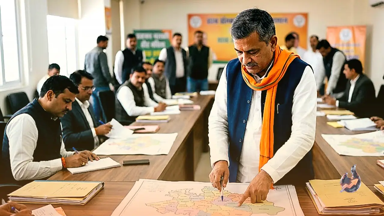
While contemporary mapping platforms like Google Maps depict only modern administrative lines, locating the historical borders of the 19 princely states requires turning to archival treasures. The Rajasthan State Archives in Bikaner has preserved and catalogued a vast collection of invaluable records from the princely era, including royal decrees, governance orders, accounting registers, land deeds, and insignia. Crucially, these rare historical materials have undergone thorough digitization. The public, historians, and scholars regularly view these preserved maps and original documents through periodic archival exhibitions, academic workshops, and seminars hosted across locations such as Jaipur.
The Largest Princely Territories by Land Area
Prior to national independence, the broader region comprised 19 princely states and 3 principal estates. In terms of geographical expanse and landmass, the most extensive territories among them included Marwar, Mewar, Jaipur, Kota, Bikaner, and Ajmer. The Rajasthan State Archives retains original territorial maps showing the precise physical dimensions and land areas of these states. Alongside detailed cartographic depictions, the repository holds original state insignia, coats of arms, and official territorial mottos. For researchers studying territorial jurisdiction and regional administrative history, these primary maps offer invaluable insight into how borders operated over the centuries.
Intricate and Systematic Border Demarcation in Early Maps
Modern districts possess defined geographical borders, and historic cartography from the princely period demonstrates a comparable level of structural accuracy. The archival maps delineate exact points where one princely territory bordered another, capturing geographic nuances and internal territories with remarkable precision. To ensure accessible study and broader public comprehension, these regional maps have been digitized in English alongside their historical formats. Furthermore, each state map incorporates its distinctive royal emblem, symbols that sovereign courts affixed to essential administrative declarations and royal warrants during the era of princely governance.