




















The notorious Desuri Ki Nal pass, connecting the Marwar and Mewar regions in Rajasthan, remains a dangerous stretch for commuters and motorists. Winding through the rugged terrain of the Aravalli hills, this narrow mountain road continues to pose severe fatal risks almost two decades after one of the state's most harrowing road disasters. While a proposed ₹2,000 crore elevated road project holds the key to safe travel, the initiative remains caught in bureaucratic procedures and technical revisions of its Detailed Project Report (DPR).
The 2007 Disaster and a Trail of Over 150 Deaths
The deadly reputation of Desuri Ki Nal stems prominently from September 7, 2007, a tragedy that left an indelible mark on Rajasthan. On that evening, an overloaded truck carrying Ramdevra pilgrims lost control and plunged into a deep gorge along the pass. The catastrophic accident claimed the lives of over 86 pilgrims. The sheer scale of the tragedy devastated surrounding communities, forcing the village of Shemal to perform mass cremations for 30 victims, including many children, on a single funeral pyre. Families across Shemal, Madri Devasthan, and Bhawa villages were destroyed in a matter of moments.
Recalling the horror of that evening, eyewitness Dinesh recalled how the government hospital in Rajsamand ran out of space to store the bodies. While rescuers were pulling out a 6-to-7-year-old child trapped underneath the wreckage of the fallen truck, the child's body split into two parts. Children who were orphaned on that fateful day have now grown into adults, yet the hazardous conditions at Desuri Ki Nal remain unchanged. Over the past 19 years, more than 150 individuals have lost their lives in subsequent accidents along these dangerous turns.
Geographical Hazards and Structural Deficiencies
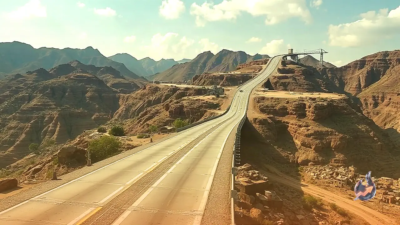
Located on the border of Pali and Rajsamand districts, the route presents severe engineering and traffic management challenges. The pass features steep downhill gradients, sharp blind curves, and severely restricted sightlines, making it nearly impossible for drivers to anticipate oncoming vehicles. Geographically, the road is sandwiched between a deep river gorge on one side and towering vertical cliffs of the Aravalli range on the other. This constrained terrain leaves virtually no space for conventional road widening or expansion.
Adding to the natural terrain challenges is the severely dilapidated condition of the existing road infrastructure. The drainage system along the route is broken, causing rainwater to overflow onto the asphalt during monsoon seasons, leading to rapid pavement erosion. Broken road surfaces and potholes further compromise vehicle traction, dramatically increasing the risk of brake failures and vehicular rollovers. Consequently, local police and transport authorities have formally designated the stretch as a high-risk danger zone.
The Proposed ₹2,000 Crore Skyway and Current Status
To eliminate the hazards permanently, engineers designed a proposed 9-kilometer elevated skyway project estimated to cost around ₹2,000 crore. The plan envisions constructing an elevated road supported by single-pillar structures erected along the riverbed side. This specific design aims to minimize forest land acquisition and prevent large-scale deforestation in the sensitive Aravalli ecological zone. The proposed elevated corridor spans between kilometer 281/500 and kilometer 290/00 on the former State Highway 16 (SH-16).
This skyway is part of a broader proposal submitted to the Union Ministry of Road Transport and Highways covering the entire 83-kilometer corridor between Pali and Charbhuja, budgeted between ₹1,800 crore and ₹2,000 crore. Pali Member of Parliament PP Chaudhary confirmed that the DPR for the comprehensive highway project, including the Desuri Ki Nal elevated bypass, has been drafted and submitted for central approval.
Providing an update on the administrative process, Anju Chaudhary, Superintending Engineer at the Rajasthan State Road Development and Construction Corporation (RSRDC), clarified that certain technical objections were raised regarding the initial DPR for the Desuri-Charbhuja elevated road. Technical teams are currently modifying the engineering plans to resolve these objections before resubmitting the proposal for final approval and allocation of funds.