
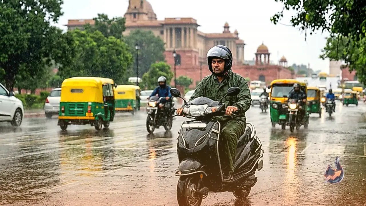






















The weather pattern in Rajasthan is experiencing a fresh shift as meteorological authorities forecast rain and brisk winds across various parts of the region on August 23. Although monsoon activity had slowed down recently, updated forecasts indicate that atmospheric conditions are stirring up once again, bringing potential showers and stormy weather to specific pockets of the state.
Rainfall Projections and Yellow Alerts in Eastern Rajasthan
According to the Meteorological Center, rainfall is expected at isolated locations across the Jaipur, Bharatpur, Kota, Ajmer, and Udaipur divisions. Light to moderate showers are particularly likely over the Bharatpur and Jaipur divisions, along with the Shekhawati region, during the August 23 to 24 timeframe. A yellow alert for thunderstorms, lightning, and gusty winds reaching speeds of 30 to 40 kilometers per hour has been issued for 17 districts, including Alwar, Baran, Bharatpur, Bundi, Dausa, Deeg, Dholpur, Jaipur, Jhalawar, Jhunjhunu, Karauli, Khairthal-Tijara, Kota, Kotputli-Behror, Sawai Madhopur, Sikar, and Tonk. Meanwhile, district-level warnings have not been issued for Ajmer, Banswara, Beawar, Bhilwara, Chittorgarh, Dungarpur, Pratapgarh, Rajsamand, Salumbar, Sirohi, and Udaipur.
While most districts in western Rajasthan remain devoid of severe weather advisories, isolated regions are still expected to see some localized changes.
Western Rajasthan Conditions and Temperature Readings
In contrast to the eastern districts, most parts of the Jodhpur and Bikaner divisions in western Rajasthan are projected to experience largely dry weather over the upcoming week. However, areas surrounding Sri Ganganagar, Hanumangarh, and Churu may witness light to moderate rainfall on August 23, indicating that the western belt is not entirely cut off from moisture. In terms of temperature and humidity, the highest maximum temperature across the state was recorded in Sri Ganganagar at 39.9 degrees Celsius, while average humidity levels hovered between 40 and 70 percent.
These localized variations are driven by broader atmospheric systems currently influencing the region.
Active Monsoon Systems and Atmospheric Circulation
Meteorologists note that the monsoon trough at mean sea level currently extends from Amritsar, Najibabad, Hardoi, northeastern Madhya Pradesh, and the center of an adjoining low-pressure area through Jamshedpur and Digha into the northeastern Bay of Bengal, reaching heights of up to 0.9 kilometers. Additionally, an upper-air cyclonic circulation persists over northern Haryana and neighboring areas, extending up to 1.5 kilometers above mean sea level, contributing to the current atmospheric instability.
Upcoming Outlook Across the State
Looking ahead, weak monsoon conditions are expected to persist in parts of eastern Rajasthan over the next few days, though heavy downpours could materialize in isolated spots across the Kota and Udaipur divisions between August 25 and 26. Similarly, parts of the Jodhpur division in western Rajasthan are anticipated to experience heavy rainfall at isolated places from August 23 to 26, ensuring that the state experiences a regionally diverse weather pattern in the coming days.