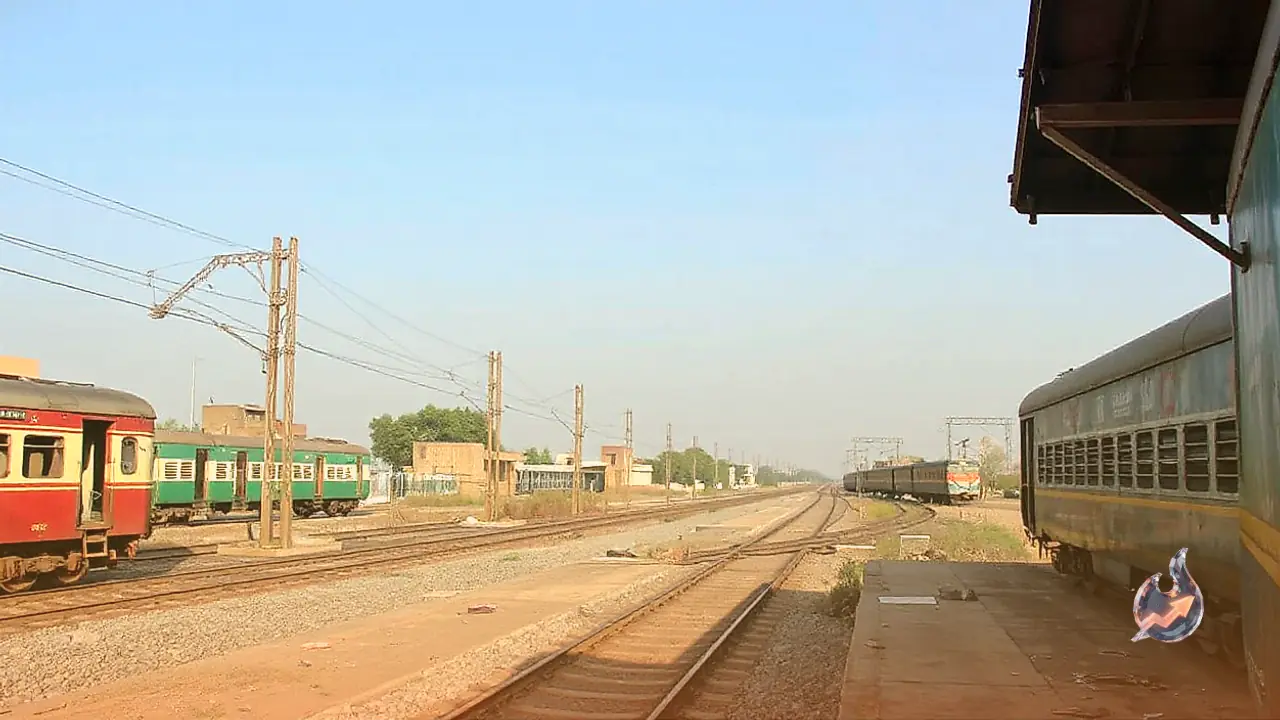
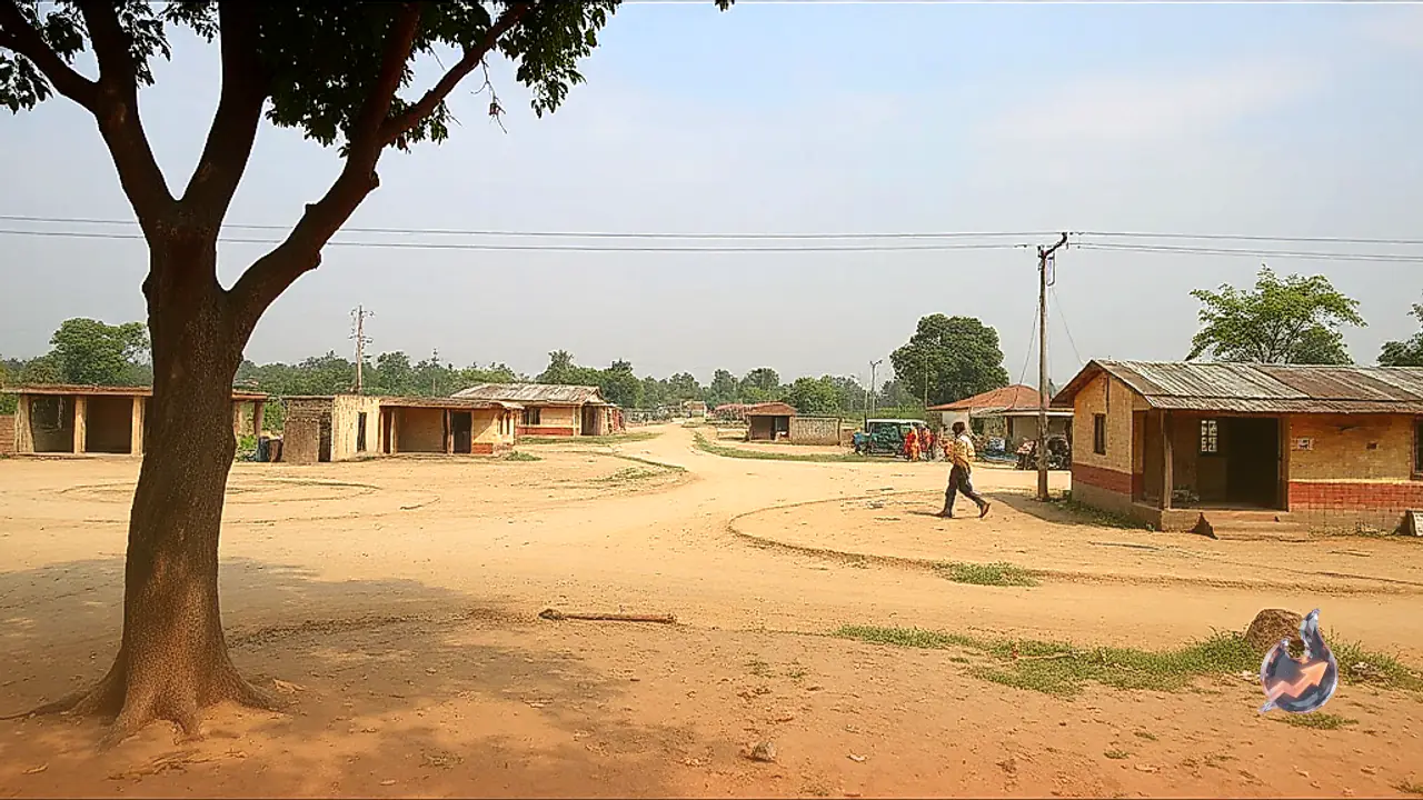
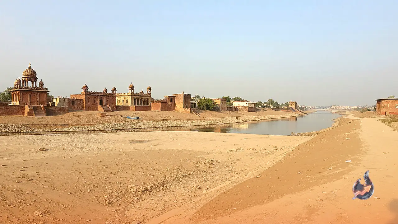


















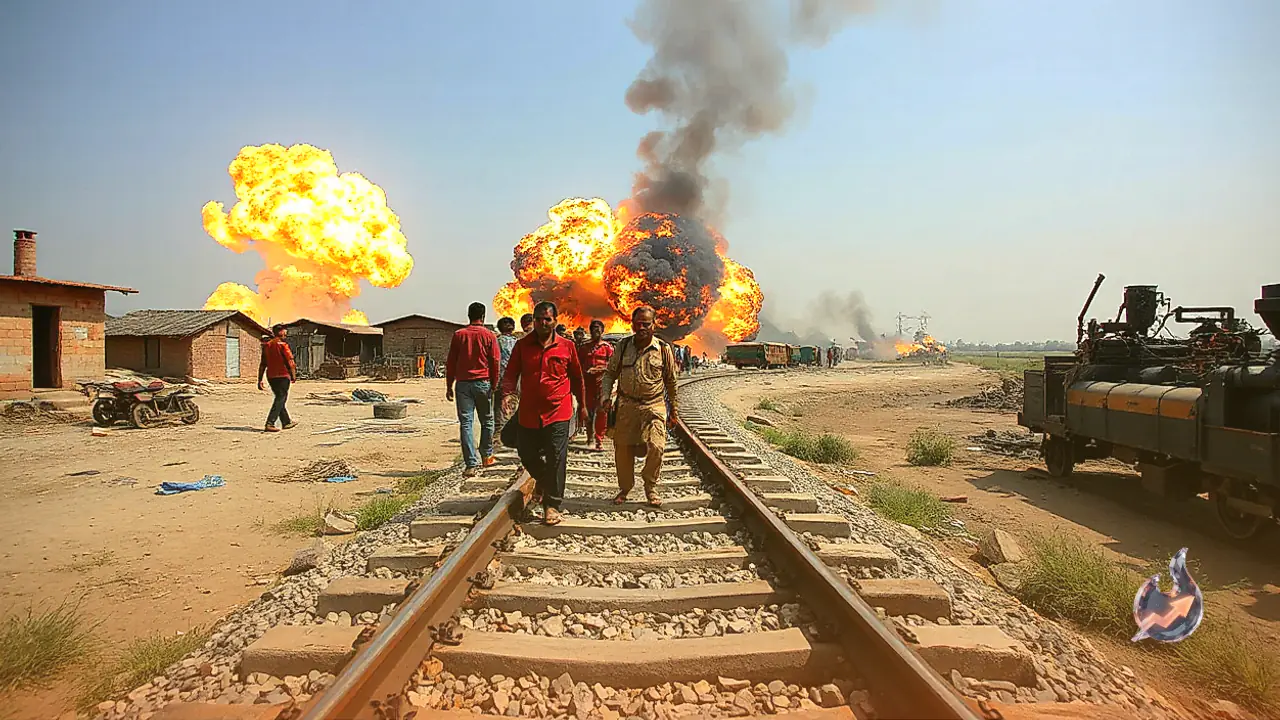

A recent explosion along a railway track in western Rajasthan has placed security forces on high alert, while unexpectedly turning a remote border settlement into a subject of nationwide curiosity. The blast occurred along the rail link connecting Anupgarh and Suratgarh, right beside a locality designated on official maps as village 50 GB. To outsiders, the designation sounds like digital storage capacity or a cryptic logistical serial, but locally it represents a century-old administrative and engineering blueprint designed to distribute irrigation water across what was once a harsh desert.
Frontier Proximity and Strategic Importance
Geographically, 50 GB sits roughly 15 to 20 kilometers from the international border separating India and Pakistan. Given this proximity to the frontier and its placement within a strategically sensitive boundary zone, intelligence and security agencies treated the railway track sabotage with immediate urgency. The blast prompted railway authorities to halt several passenger services on the route and divert others to alternative corridors. As headlines spread across the country regarding the sabotage attempt, public attention rapidly shifted toward the curious alphanumeric moniker of the village itself, prompting questions about why traditional rural settlements here lack customary regional names.
Desert Reclamation and the Grid of Chaks
Across northern Rajasthan's border districts, particularly Sri Ganganagar, Anupgarh, and Bikaner, alphanumeric village names vastly outnumber conventional village names. The origin of this naming pattern dates back to the 1920s, initiated when Maharaja Ganga Singh of Bikaner commissioned the historic Gang Canal. The transformation deepened decades later with the arrival and subsequent expansion of the Indira Gandhi Canal Project. Before canal waters reached these arid plains, the entire territory consisted of an uninhabited, barren desert devoid of ancient settlements or established agricultural communes.
To ensure fair distribution of water and maintain systematic land revenue records, planners divided the arid landscape into uniform geometric squares termed chaks. As civil engineers excavated secondary distribution channels and minor conduits outward from principal arteries, they assigned alphabetical codes to each canal branch. Every rectangular chak irrigated along that specific branch received a sequential number. As agricultural families migrated to settle permanently around these newly irrigated plots, the technical chak numbers and canal codes gradually fossilized into the permanent names of the villages that emerged.
The Administrative Logic Behind the Alphanumeric Codes
The letters and numbers visible on district signposts are not arbitrary designations. Instead, they function as precise geographic and hydraulic coordinates built on a straightforward formula
- Functional Letters: The alphabetic characters indicate the specific branch, distributary, or minor channel supplying water to the area. Within the name 50 GB, the characters GB stand for the Gajsinghpur Bed canal branch. Other nearby settlements carry letters like APD for the Anupgarh Distributary, JM denoting the Jaitsar Minor, and H signifying the Harisinghpura Minor.
- Sequential Numbers: The numerical figure indicates the sequential placement of that particular land plot measuring downstream from the head or starting point of that canal branch. Consequently, 50 GB designates the fiftieth chak established along the Gajsinghpur Bed waterway.
Historical Insights and Land Settlement Mechanics
Offering historical perspective on the relationship between canal expansion and rural settlement, Shriram Nayak, an assistant professor in the department of history at Government Dungar College in Bikaner, explains the structural legacy
“गांवों की बसावट और उनके नामकरण के पीछे नहरों का महत्वपूर्ण योगदान रहा है.”
Nayak notes that as extensive canal networks were laid down and placed under the management of the Indira Gandhi Canal Project department, a web of distributaries and minor channels was carved across the desert. Residential hamlets grew directly alongside these engineered waterways, directly tying village naming conventions to canal branches and their numerical sequencing.
Detailing the legal and revenue mechanics governing this framework, Kishan Soni, a revenue inspector at the Bikaner District Collector's office, clarifies how land administration relies on this structure
“इन चकों की पहचान संख्या से होती है और इसी संख्या के आधार पर गांवों के नाम भी रखे जाते हैं, उदाहरण के तौर पर 50 जीबी चक.”
Soni notes that structured land consolidation, known locally as chakbandi, applies specifically across zones enjoying canal irrigation access. In such irrigated tracts, land parcels are formally partitioned into rectangular units known as kila and murabba, with one kila roughly corresponding to one bigha. In contrast, arid pockets untouched by canal networks continue to record land titles using traditional khasra plot numbers. Thus, the name 50 GB is not a modern oddity, but a permanent reflection of engineering ingenuity that turned desert waste into productive farmland.