























Massive forest fires across Southern Europe have devastated vast landscapes, compelling officials to search beyond traditional firefighting methods. In Spain and France, catastrophic blazes have engulfed more than 741,000 acres of land, forcing hundreds of thousands of residents to evacuate their homes. The scale of destruction has been historic: Spain has witnessed double its average annual burned territory, while France's current fire season has proved six times more destructive than normal. Driven by unprecedented heatwaves and dangerously dry conditions linked to broader climate change, these megafires have even generated their own local weather systems. In response, Prime Minister Pedro Sánchez declared a national state of emergency, directing all available state resources to severely affected regions including Ávila, León, Toledo, and Madrid, while emphasizing the critical situation shared with neighboring nations.
Breakthrough Organic Liquids for Rapid Extinction
To counter these intensifying blazes, researchers are putting groundbreaking technologies to work directly on the frontlines. One of the most promising developments is an advanced water-based biodegradable liquid made entirely from 100 percent organic substances. This eco-friendly chemical solution operates up to 40 times more effectively than standard water when dousing active flames, and it extinguishes blazes between 6 to 10 times faster. Beyond active firefighting, the liquid functions as an invaluable preventive tool. When sprayed onto forests and surrounding vegetation, it creates a protective insulating barrier that blocks oxygen and heat. This shield prevents plants and wood from igniting even when exposed to extreme temperatures of 100 degrees Celsius (212 degrees Fahrenheit) or higher.
Early Warning Systems and Autonomous Drone Surveillance
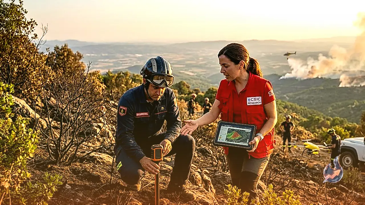
Because containing a megafire becomes vastly more difficult once it expands, rapid detection is crucial to prevent emergency responders from being overwhelmed. A new early-warning platform named Predifire addresses this challenge by identifying ignition points while they are still confined to just a few acres. Developed through a collaborative effort involving the University of Córdoba, Automatismos ITEA, and Somnum Technologies, the system integrates artificial intelligence with physical sensors and autonomous drones. By constantly analyzing terrain and detecting small outbreaks early, Predifire drastically cuts down response times, allowing authorities to dispatch firefighters before a blaze spirals out of control.
Smart Sensor Networks and Real-Time Environmental Monitoring
Complementing drone surveillance is SenForFire, a European initiative bringing together the Spanish National Research Council, the University of Extremadura, and several private tech firms. This project relies on low-cost wireless networks of intelligent sensors placed throughout vulnerable forest zones. These devices monitor real-time environmental metrics, tracking weather conditions, atmospheric variables, and airborne gases released during early combustion. By continuously transmitting live data, the sensor array identifies minute atmospheric shifts that signal the start or acceleration of a wildfire, giving emergency teams vital lead time.
Predictive AI Models for Resource Allocation
To optimize how emergency forces are deployed, Spanish scientists backed by funding from the Ministry of Science and Innovation have created a specialized AI predictive model. Powered by deep neural networks, this tool analyzes satellite imagery to measure vegetation health and greenness alongside real-time weather indicators. By processing these factors, the algorithm accurately predicts how quickly and in which direction a fire will spread, how long containment efforts will take, and precisely how many ground crews, personnel, and firefighting aircraft are needed to tackle high-risk zones effectively.
Public Safety Tools and Real-Time Tracking Apps
Alongside heavy technological interventions in the field, digital platforms are helping citizens stay informed and safe during emergencies. The official Civil Protection application provides instant access to official warnings, hazard maps, and direct emergency contacts. Additionally, Google Maps has integrated a dedicated layer displaying real-time wildfire perimeters and sending urgent safety notifications across Spain. Citizens can also rely on Incendios España, an interactive mapping platform that uses satellite telemetry to plot active wildfire locations in real time, empowering residents to track danger zones and make informed evacuation choices.