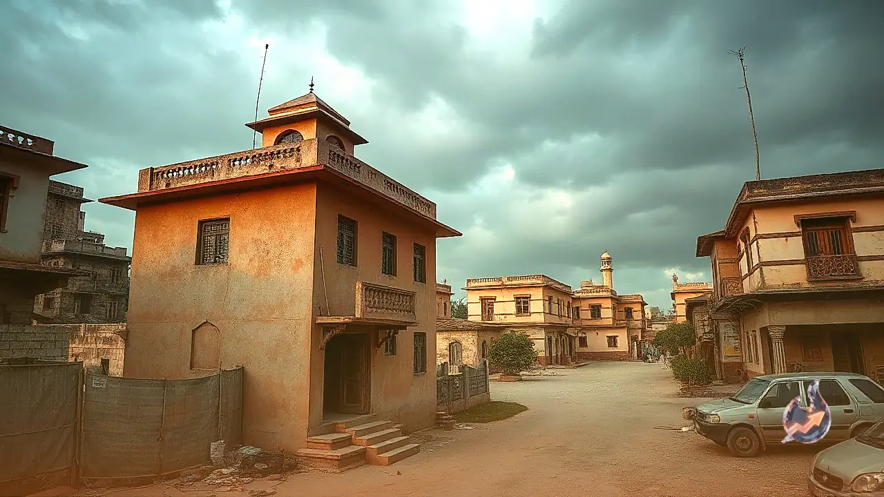

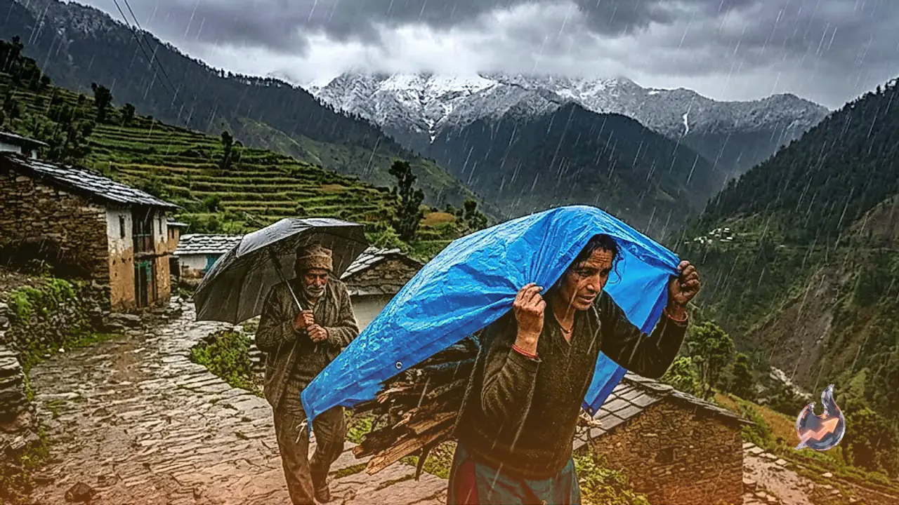





















A sudden atmospheric shift across the northern hill state of Uttarakhand has triggered a severe weather escalation, prompting urgent warnings across the Kumaon and Garhwal divisions for 26 September. The region faces intense thunderstorms, widespread lightning activity, and torrential downpours that threaten both elevated mountain slopes and vulnerable low-lying valleys. Five major districts across the Kumaon region are anticipated to witness the most intense atmospheric disturbances, where prolonged spells of heavy precipitation could trigger hazardous flash floods and structural damages.
Over the preceding twenty-four hours, monsoon conditions across Uttarakhand had remained relatively subdued, yielding only scattered showers and mild precipitation. However, the collision between an incoming Western Disturbance and lingering monsoon moisture currents has rapidly energized the system over the Himalayan foothills. Districts including Dehradun, Pauri Garhwal, Chamoli, Rudraprayag, and Almora are now under orange alerts for heavy to very heavy rainfall. Concurrently, powerful wind gusts clocking speeds between 40 and 50 kilometres per hour are predicted to sweep across open plains and river valleys, raising the threat of uprooted trees and torn electricity cables.
Kumaon Division Faces Critical Threat of Cloudburst-Like Rainfall
The meteorological conditions over Bageshwar, Nainital, Pithoragarh, Champawat, and Udham Singh Nagar appear exceptionally critical. Several micro-climatic zones across these five districts are at heightened risk of receiving concentrated bursts of torrential rain resembling cloudburst intensity. The unstable mountain slopes across Nainital and Almora present an elevated risk of landslides and slope failures, which could dump enormous quantities of debris onto primary arterial highways and remote rural connectors.
Border districts such as Pithoragarh and Bageshwar face immediate threats from surging mountain rivulets and seasonal drainage channels overflowing their banks. Such sudden runoff frequently cuts off remote border communities from central administrative hubs. In the plains of Udham Singh Nagar, constrained natural drainage infrastructure makes severe waterlogging almost inevitable across urban settlements. Residents and travelers across these five critical districts have been advised to shelter indoors and avoid traveling along treacherous hill sections.
Valley Disruptions and Wind Hazards in Dehradun and Rishikesh
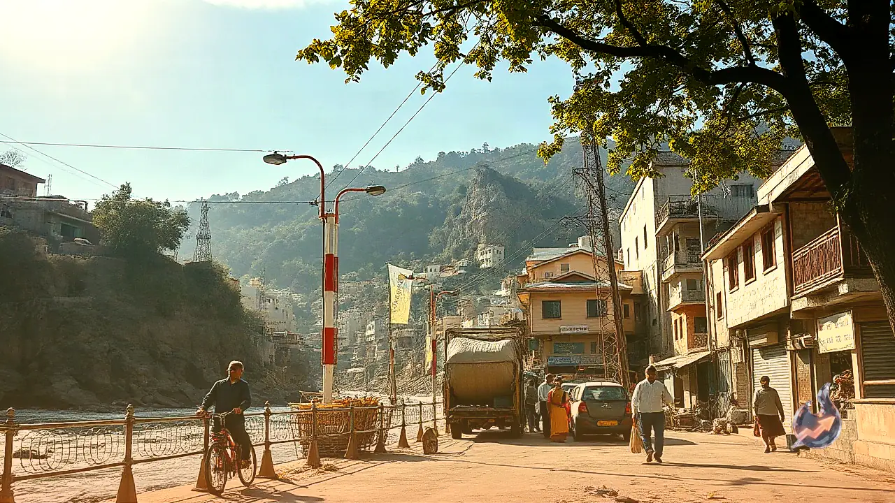
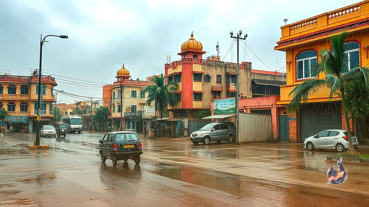
The state capital of Dehradun, alongside adjoining tourist belts including Mussoorie and Rishikesh, will remain shrouded under thick cloud cover from early morning hours, with spells of moderate to intense rainfall expected throughout the day. Civic bodies and local police authorities across Dehradun have mobilized emergency response units as riverbanks along the Maldevta, Sahastradhara, and Raipur stretches face rapid water surges. Inundation along primary roadways could trigger widespread traffic snarls and municipal service bottlenecks.
The accompanying 40 to 50 kmph wind gusts present a major physical danger across the valley floor, with elevated chances of large trees falling onto overhead high-voltage power lines and commercial hoardings. This atmospheric disruption is likely to cause sporadic electrical blackouts and localized communication breakdowns across vulnerable residential sectors. Pilgrims and tourists visiting the river ghats of Rishikesh have been strictly cautioned to maintain a safe perimeter from the swelling currents of the Ganga.
Waterlogging and Agricultural Concerns in Haridwar and Udham Singh Nagar
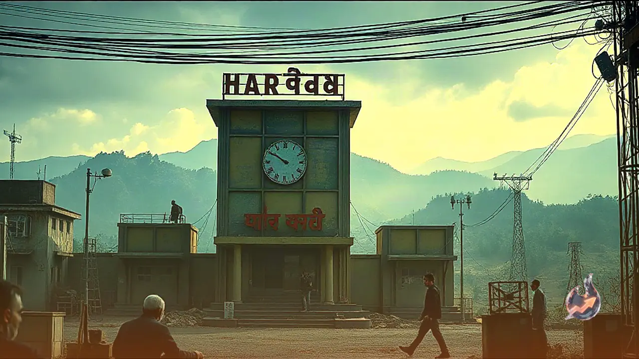
Across the holy city of Haridwar and the industrial belt of Udham Singh Nagar, heavy precipitation on Friday is anticipated to severely disrupt everyday urban life. Dense commercial and residential sectors in Haridwar, particularly low-lying localities in Jwalapur and Kankhal, are under substantial risk of inundation as stormwater runoff overwhelms municipal drains. Communities settled along the floodplains of the Ganga and associated irrigation canals have been alerted to potential surges in water volumes.
Farther east in Udham Singh Nagar, industrial towns including Rudrapur, Kashipur, and Khatima face strong gusty winds coupled with sharp lightning strikes. This spell of untimely heavy rainfall carries significant consequences for the agrarian sector. Standing paddy crops that are approaching maturity, as well as harvested grains resting in open fields, risk severe water damage and lodging from forceful winds. Agronomists and local officials have instructed farmers to safely store exposed produce and clear field drainage channels without delay.
Char Dham Highway Vulnerabilities Across Chamoli and Rudraprayag
In the higher reaches of the Garhwal division, steep slopes across Chamoli and Rudraprayag face heavy to very heavy rainfall alerts, directly threatening key corridors of the Char Dham pilgrimage network. Notorious chronic landslide locations, including Sirobagad and Narkota along the Badrinath National Highway and the pedestrian route to Kedarnath, are prone to sudden boulder falls and thick mud accumulations. Downstream, discharge levels in the Alaknanda and Mandakini rivers are projected to climb swiftly, increasing riverbank erosion hazards near settled valley pockets.
Drivers navigating mountain routes across Pauri Garhwal and Tehri Garhwal must exercise extreme vigilance. Narrow sections between Srinagar Garhwal and Kotdwar remain susceptible to dangerous shooting stones tumbling from unstable cliffs. Dense fog and continuous squalls around high-altitude destinations such as Lansdowne will drastically suppress vehicular visibility. Motorists have been instructed to engage auxiliary fog lights, operate headlights during daytime travel, and maintain moderate transit speeds on all winding hill roads.
High Himalayan Snowfall Ushers in Early Winter Chills
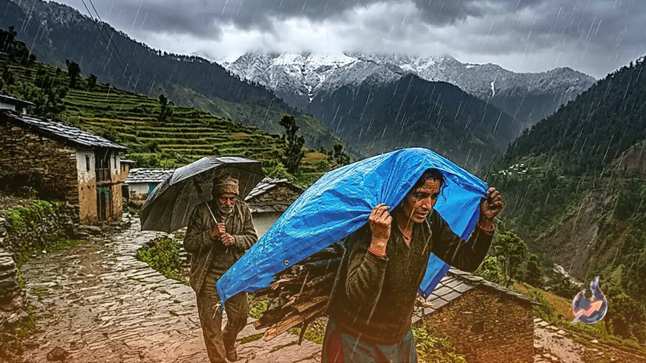
A distinctive feature of this developing weather pattern is the expected accumulation of fresh snow across higher Himalayan altitudes. Between 25 and 28 September, mountain peaks situated at and above 4,000 metres are forecast to receive fresh snowfall. Notable locations including the Hemkund Sahib shrine, the upper ridgelines enclosing Badrinath Dham, the peaks encircling Kedarnath in Rudraprayag, the glacial heights around Gangotri and Yamunotri, along with Panchachuli and Om Parvat in Pithoragarh, will transition into winter conditions.
This early snowfall over elevated ridgelines will send cold drafts sweeping down toward intermediate hill stations, including Auli, Mussoorie, and Dhanaulti, triggering a steep drop in daytime and night temperatures. The transition marks the informal arrival of winter chill across Uttarakhand. Devotees undertaking the Char Dham pilgrimage have been advised to pack sufficient thermal clothing, rain protection gear, and essential medications to safeguard against the abrupt cold snap.
Unsettled Weather Patterns to Persist Through 28 September
The meteorological instability will not dissipate immediately following the Friday downpours. By 27 September, the core of the atmospheric disturbance is projected to push deeper into the Garhwal division, prolonging spells of intense rainfall across Dehradun, Tehri, Uttarkashi, and Pauri Garhwal. Unsettled weather conditions are expected to linger through 28 September, maintaining lower-than-average ambient temperatures and sustaining elevated water discharge across major Himalayan rivers.