























A demanding four-month monsoon season characterized by heavy rain and administrative disruptions in Uttarakhand has formally reached its conclusion. On Saturday, CS Tomar, Director of the Meteorological Centre in Dehradun, officially confirmed the complete departure of the monsoon system across the entire state. Atmospheric indicators had already quieted down noticeably across most districts over the previous 72 hours, bringing unbroken sunshine to Haridwar, Udham Singh Nagar, and the plains around Dehradun over the past two days. In the preceding 24 hours, only isolated patches of the state logged negligible traces of rain alongside scattered claps of thunder.
Western Disturbance Sets Up Fresh Mountain Weather Shift
Despite the official monsoon exit, the state will not experience prolonged dry weather as an incoming western disturbance combines with local atmospheric instability to reshape mountain conditions. The weather office confirmed that October 4 will remain dry and clear across every district. However, beginning October 5, cloud cover will thicken over higher elevations in Uttarkashi, Chamoli, Rudraprayag, Bageshwar, and Pithoragarh, triggering light precipitation alongside lightning strikes that will pull regional mercury readings down significantly.
Forecast for Dehradun, Tehri, and Nainital Destinations
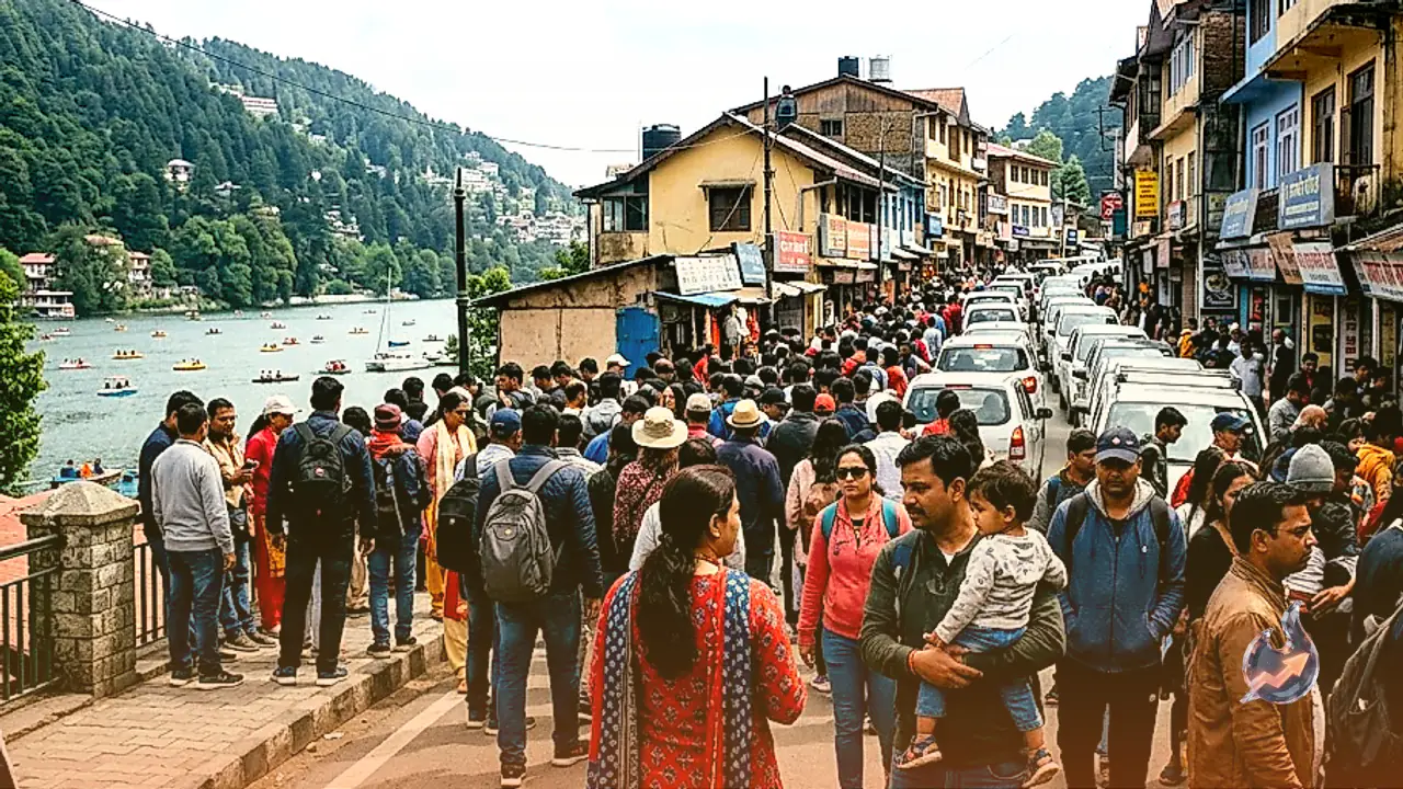
Earlier on Wednesday, Dehradun and surrounding valleys touched a daytime maximum of 32.1 degrees Celsius against a night low of 19.8 degrees Celsius. The latest meteorological forecasts indicate that starting October 6, locations across Dehradun, Tehri, Nainital, Champawat, and Pithoragarh will face light to moderate rainfall accompanied by lightning activity. Popular tourist getaways including Nainital and Dehradun, alongside highland stretches in Tehri, are also slated to encounter gusty winds reaching speeds of 30 to 40 km/h on both October 6 and October 7.
Plains of Haridwar, Udham Singh Nagar, and Pauri Brace for Changes
Residents across the plains of Haridwar and Udham Singh Nagar can expect completely dry conditions through October 4 and October 5, leading to clear sunshine and uncomfortable humidity levels. That pattern will break on October 6 and October 7 as shifting systems sweep down into the lowlands. Warnings have been placed over Haridwar, Udham Singh Nagar, and Pauri Garhwal for lightning strikes, sudden wind gusts, and sporadic showers, ushering in the season's first noticeable morning and evening chill across these southern sectors.
High-Altitude Gales and Season's First Snowfall Warnings
A yellow alert for high-speed gales measuring 30 to 40 km/h alongside lightning strikes takes effect from October 5 across the hilly districts of Almora, Champawat, Chamoli, Rudraprayag, and Uttarkashi. Widespread light to moderate showers will expand across many areas statewide on October 7. By October 8, precipitation will culminate in the season's first high-altitude snowfall atop peaks standing at 4200 meters and above. Forecast models show that by October 9, the freezing line will descend to elevations of 3800 meters, ushering in harsh early-winter conditions across the upper Himalayan belts.
Seasonal Rainfall Ledger Shows Heavy Regional Imbalance
The four months of monsoon activity proved severely demanding for state machinery. Persistent downpours compelled authorities to declare school closures on more than 25 separate occasions and temporarily suspend the Char Dham Yatra 4 times for pilgrim safety. Official seasonal measurements between June 1 and August 4 revealed an extraordinarily skewed pattern where substantial excess was confined to merely three districts. Bageshwar ended with rainfall 135 percent above normal, Chamoli registered an excess of 56 percent, and Tehri logged 25 percent above average.
Conversely, Dehradun closed 10 percent below its seasonal benchmark, while Pauri Garhwal collected less than half of its typical seasonal quota. Fresh 24-hour regional metrics recorded 20 mm in Jakholi, 9 mm in Jankichatti, 8.5 mm in Karnaprayag, 7.5 mm in Takula, 4 mm in Thal, 3.5 mm in Chaubatia near Ranikhet, and 3 mm in Mukteshwar. Meteorologists attribute this heavily uneven pattern to complex terrain interplay and shifting atmospheric circulation tracks across the state.