




















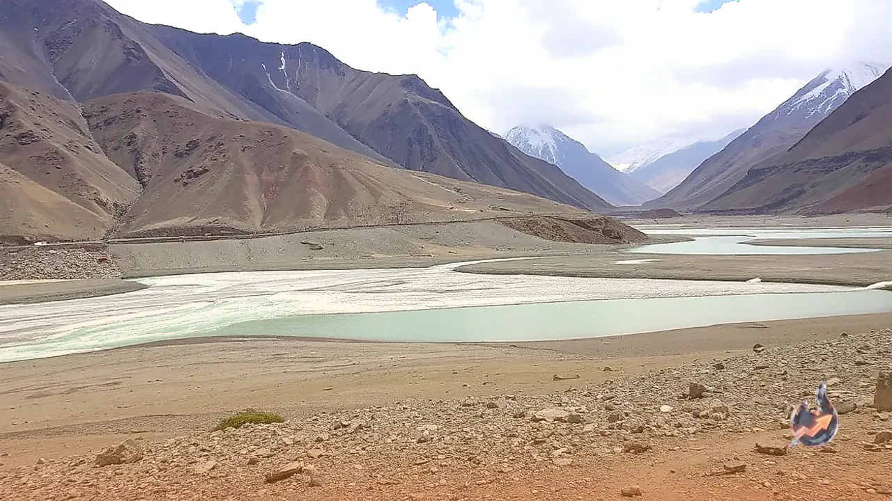

Glacial reservoirs situated high in the Himalayan peaks of Uttarakhand represent a growing hazard for downstream towns and riverside communities as climate patterns continue to warm. The quickened rate of ice melt has generated immense volumes of trapped runoff in fragile moraine-dammed basins throughout the upper slopes. Official geographical assessments show that the state hosts roughly 344 glacial lakes. Following comprehensive multi-institution assessments, scientific teams flagged 13 specific lakes as posing viable hazard conditions, identifying five of those water bodies as critically endangered. To tackle the possibility of massive sudden flooding, disaster authorities have started constructing proactive surveillance infrastructure. As the opening phase of this strategic intervention, Uttarakhand has commissioned its very first glacial lake monitoring and early warning apparatus beside Vasudhara Tal in Chamoli district at an altitude of 4700 metres.
Three-Tiered Danger Classification for Himalayan Glacial Lakes
Scientific institutions have surveyed the structural stability and water capacity of these remote glacial catchments to map out vulnerability levels across the mountain range. Dr Rajesh Kumar, a scientist associated with the Central Building Research Institute located in Roorkee, indicated that collaborative evaluations categorized the 13 vulnerable glacial lakes into three precise risk brackets. The classification allocates five lakes to Category A, four lakes to Category B, and an additional four lakes to Category C. Category A reservoirs represent the most acute danger, Category B incorporates moderately sensitive waters, and Category C denotes water bodies carrying relatively lower hazard potential. Catchments designated under Category A are viewed with utmost urgency due to the risk that weak moraine banks could give way under extreme pressure and send unmanageable torrents toward downstream settlements.
The five highest-risk glacial basins grouped under Category A are distributed across two frontier mountain districts. Pithoragarh district accommodates three of these critical bodies, while Chamoli district encompasses the remaining two. High within Pithoragarh, Syunti Yankti lake, Mambang lake, and Pyangru lake occupy positions of extreme sensitivity. Parallel to these, Saraswati Tal and Vasudhara Tal in Chamoli district have been placed inside Category A, prompting intensified tracking by hydrologists and geological researchers. Experts are scrutinizing the hydrological volume, lateral ice stability, and loose debris composition of each of these five critical reservoirs.
Deployment of Advanced Real-Time Sensors at 4,700 Metres on Vasudhara Tal
To eliminate information blind spots in these inaccessible elevations, the first glacial lake monitoring station was made operational at Vasudhara Tal in 2026. This technical safeguard was installed through an operational partnership involving the Uttarakhand State Disaster Management Authority and the National Disaster Management Authority, supported by the engineering inputs of CBRI alongside Corporate Social Responsibility funding. Perched at an elevation near 4700 metres amidst extreme alpine weather, the installation uses specialised digital sensors calibrated to record lake dynamics and transmit continuous live data to disaster headquarters without requiring manual on-site presence.
The central function of this high-altitude monitoring setup is to maintain continuous tracking over water elevation changes, structural shifting, and uncommon fluctuations within the lake basin. Any unexpected swell in water levels or physical disturbance to the containment edges immediately triggers warning transmissions to administrative networks. Dr Rajesh Kumar noted that this 2026 deployment represents the inaugural monitoring setup of its kind across Uttarakhand, with preparation underway to introduce similar gear at the other high-risk glacial sites. Having early warning information gives valley residents and emergency services the crucial lead time required to initiate organized evacuations before surging waters arrive.
Glacial Lake Outburst Floods and Historic Lessons Across the Range
When the fragile natural walls retaining an alpine glacial reservoir fail under sudden stress, the ensuing deluge is scientifically termed a Glacial Lake Outburst Flood, frequently referenced as a GLOF event. Such breaches occur when unstable sections of overhead hanging glaciers or rock masses collapse into the water, when extreme snowmelt creates excessive hydraulic pressure, or when loose moraine walls can no longer hold the accumulated reservoir. The resultant failure releases millions of cubic metres of turbulent water, mud, and boulders downstream, causing violent flash floods, sudden mudslides, and catastrophic wreckage across riverine pathways.
Recent disasters across neighbouring sectors of the Himalayan belt have brought additional urgency to Indian research teams. A major incident struck Nepal on 26 August 2026, and another sudden glacial lake rupture occurred in Bhutan on 30 October 2026, demonstrating that sudden mountain drainage events can strike abruptly across diverse corners of the range. Uttarakhand itself carries painful historical scars from similar highland collapses. In 2013, the deluge centered near Kedarnath claimed thousands of lives after moraine barriers near Chorabari Tal failed. Years later, in 2021, an abrupt glacial and rock slide in Chamoli unleashed massive flash floods along the Rishiganga and Dhauliganga rivers, resulting in over 200 fatalities. These tragedies forced a decisive shift in scientific priorities, driving permanent tracking of glacial ice sheets and elevated lake basins.
Field Preparations and Community Response Training Along River Valleys
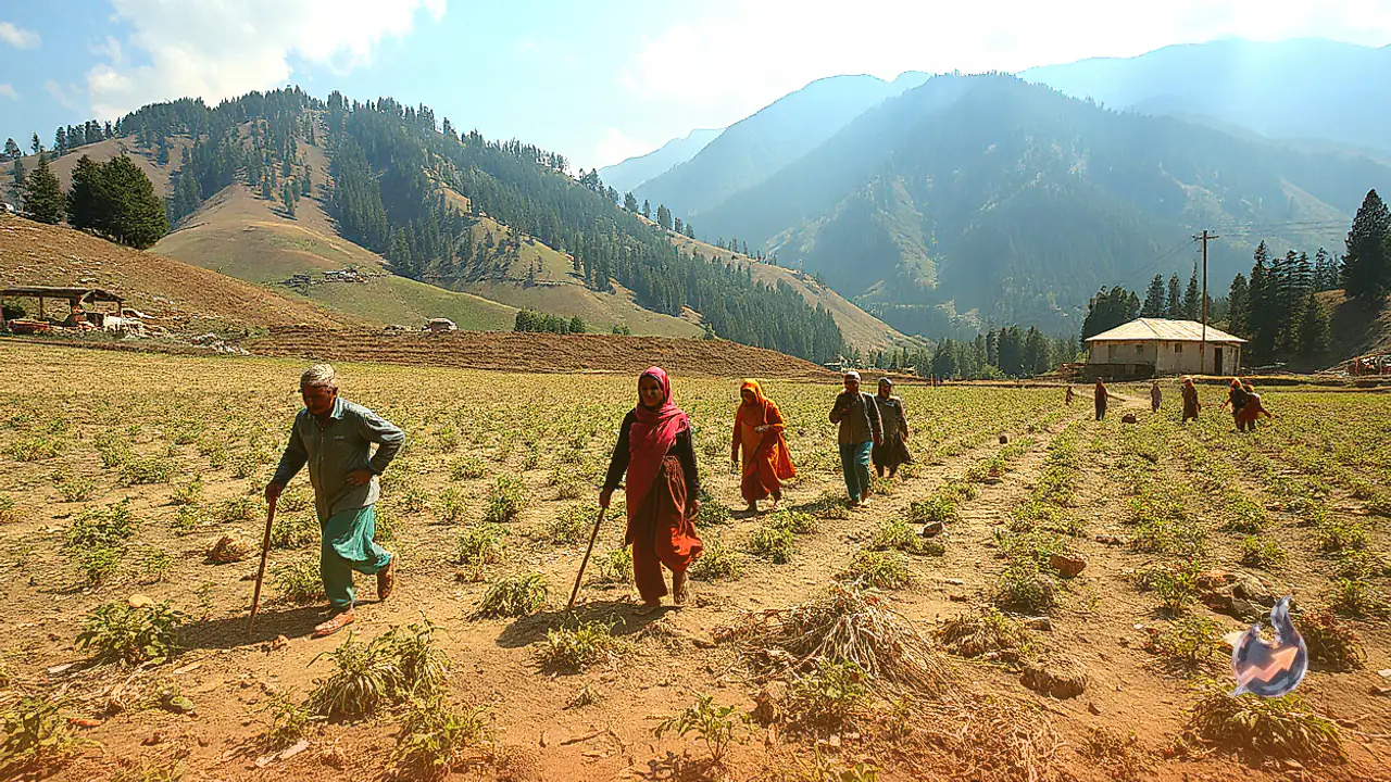
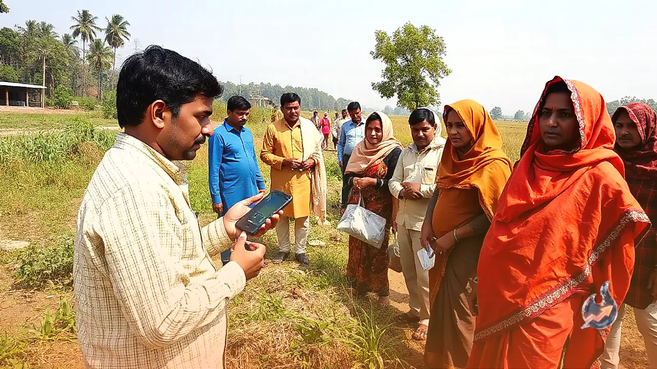
Protecting vulnerable populations along mountain valleys requires pairing high-technology telemetry with boots-on-the-ground operational readiness. Scientists and state disaster management professionals are running community awareness camps across settlements that lie along potential drainage channels. Local residents receive clear instructions concerning early alert triggers, abnormal changes in river clarity or volume, and designated evacuation paths so they can swiftly move toward high-elevation safe zones whenever automated sirens sound.
To bolster rapid first-response capabilities, local Aapda Mitra volunteers are receiving rigorous disaster response drills guided by trained instructors from SDRF and NDRF. These community volunteers learn how to mobilize local evacuation routes, manage basic triage, and assist vulnerable neighbors even if regional communication channels get knocked offline during an emergency. Amidst dynamic weather changes and retreating Himalayan glaciers, keeping round-the-clock watch over unstable water bodies has become an indispensable lifeline for Uttarakhand. The early warning station activated at Vasudhara Tal stands as an essential foundation, and the immediate focus now lies in establishing equivalent sensor coverage across the remaining four critical lakes to secure vulnerable settlements against abrupt mountain floods.