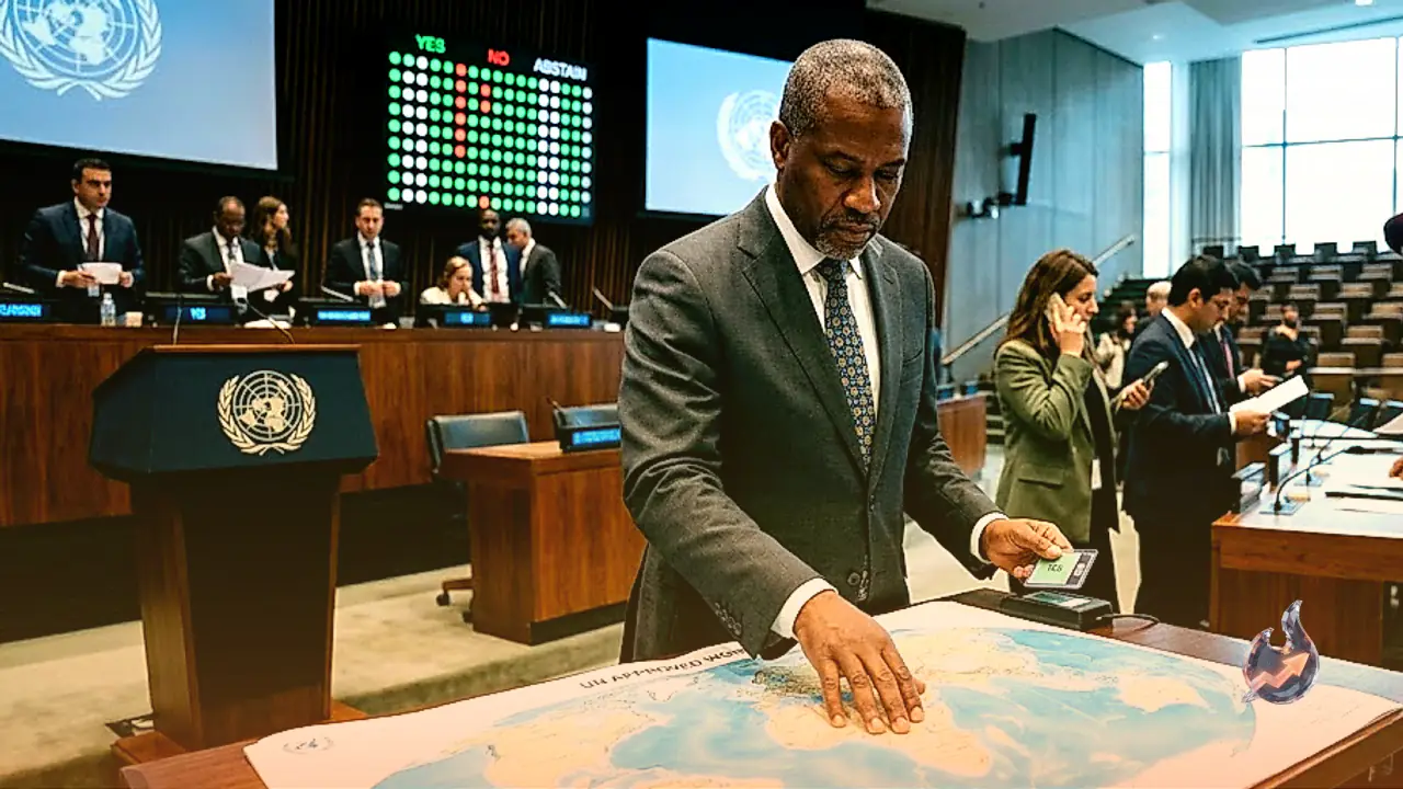

















A vote inside the UN General Assembly on Friday reopened a debate that has followed world maps for centuries: whether the shapes on the wall accurately reflect the size of the land they represent. Passed by an overwhelming majority, the resolution pushes for maps that show countries and continents closer to their true relative size. In the count, 164 nations voted in favour, the United States voted against, and six countries stayed away from the vote altogether.
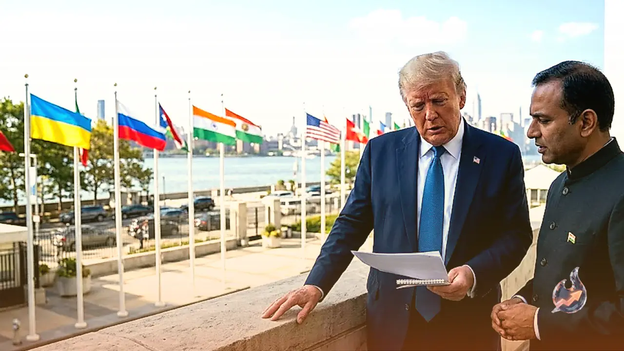
India was among the countries that voted yes, but it was careful to draw a line around what that vote actually meant. New Delhi said its support should not be read as an endorsement of any single mapping method, such as equal-area map projections, as the standard going forward.
What India's diplomat told the assembly
Speaking for India, diplomat Raghu Puri said the resolution ought to be understood as encouraging "the wider use and consideration of equal-area map projections", rather than as an official endorsement of Equal Earth or any other specific projection. He argued that different map projections exist because each one is built to highlight a different geographic property, whether that is size, direction or distance, which is why India's position on the underlying question is one of technical and methodological neutrality.
Puri added that an equal-area approach becomes genuinely useful specifically when the goal is to represent the true relative size of continents against each other, since it cuts down on the false impressions that distorted maps can create about landmass. India's backing for the resolution rests on that narrow logic, not on any push to make one cartographic method or projection compulsory everywhere.
Why African nations pushed for this
The resolution itself was brought forward by African countries, whose core grievance is that maps in everyday circulation around the world have long shown Africa as considerably smaller than it really is. The text specifically encourages wider adoption of equal-area map projections as a way to correct that imbalance.
The centuries-old quirk behind the dispute
At the heart of the disagreement sits the Mercator projection, drawn up in 1569. It has remained enormously useful for sailing and maritime navigation for centuries, but it comes with a well-known flaw: the farther a region sits from the equator, the larger the projection makes it appear compared with its actual size. That is why regions like Europe, North America and Greenland show up on the map noticeably bigger than they truly are, while Africa, sitting closer to the equator, appears comparatively smaller.
African nations argue this is not merely a cartographic technicality. Decades of exposure to that distorted image, they say, have shaped a mistaken global perception of Africa's actual scale and its weight in the world. That is precisely why the 'Correct the Map' push is being treated as more than a technical fix, it is being framed as a matter of historical and symbolic significance.
Will every map change overnight
It is worth being clear about what the resolution does not do. Because it is non-binding, there is no legal requirement forcing schools, publishers, offices or digital platforms anywhere in the world to immediately swap out their existing Mercator-based maps. The resolution's real purpose is to nudge the world gradually toward more accurate and proportionate cartographic methods over time, and it was on that limited, carefully defined basis that India cast its vote.