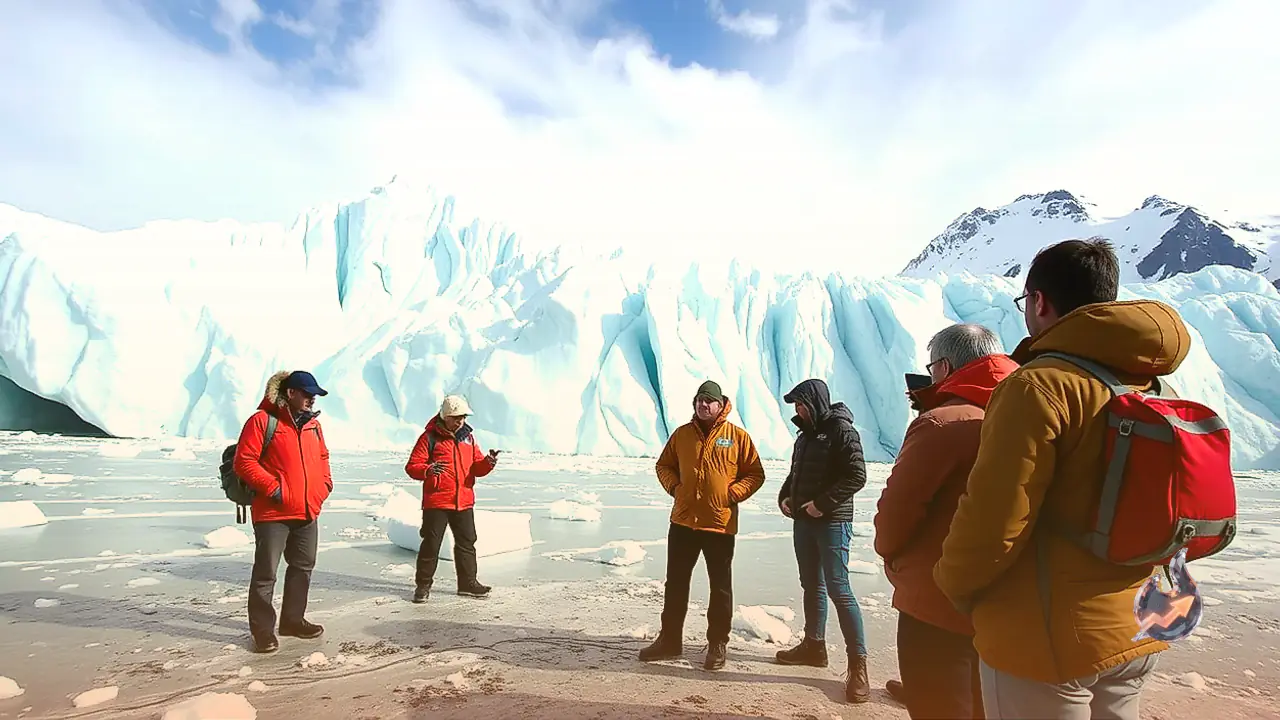























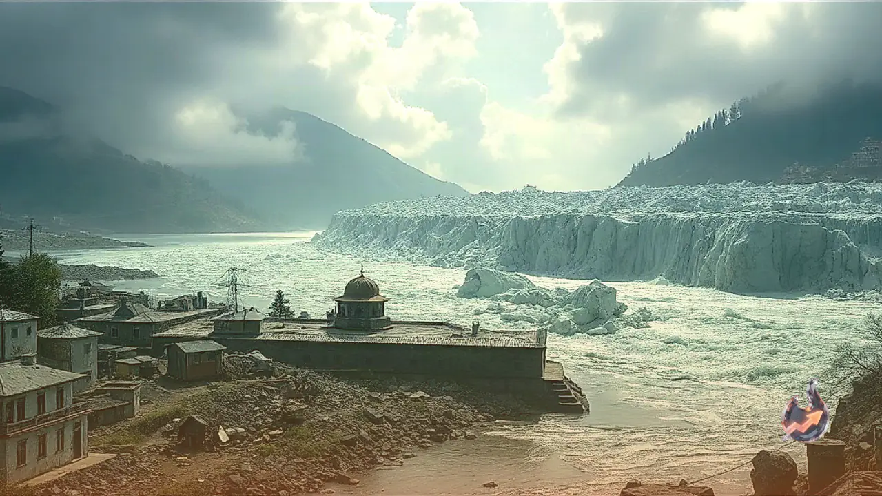

Scientific investigations into the devastating flash flood that inundated Nepal's mountainous Rasuwa district along the Bhote Koshi river basin have identified a massive ice-rock avalanche and subsequent landslide dam failure as the primary triggers of the catastrophe. Initial reports had suggested that a powerful earthquake was responsible for the sudden wall of water. However, comprehensive geological assessments and satellite imagery analysis have now confirmed that the deluge stemmed from an enormous glacier collapse high in the Himalayas. The cascading debris choked the Lhendeh river, a major tributary of the Bhote Koshi, forming a temporary barrier lake that subsequently ruptured under intense hydrostatic pressure. The resulting flash flood destroyed critical infrastructure, swept away bridges, and caused the loss of hundreds of lives across the region.
Scientific Findings Dismiss Seismic Origin in Favor of Glacier Collapse
When the Bhote Koshi river overflowed violently at approximately 8:37 AM on Wednesday, monitoring equipment at Nepal's National Seismological Centre and the United States Geological Survey (USGS) detected a seismic event measuring magnitude 4.4. The epicenter was located roughly 47 kilometers north of Gosaikunda in Tibet, near the Rasuwagadhi border corridor. This initial seismic reading led many observers to hypothesize that a tectonic earthquake had directly triggered the sudden river breach and flooding.
However, subsequent long-period seismic wave analysis conducted by USGS geophysicists disproved the tectonic theory. The refined data demonstrated that the seismic signals were not generated by movement along fault lines, but rather by the massive physical impact of billions of tons of collapsing ice, rock, and mountain debris impacting the valley floor. Re-evaluating the energy signature, scientists classified the occurrence as a magnitude 5.2 seismic event resulting entirely from mass movement. The tremor was therefore an effect of the glacier collapse rather than its underlying cause.
Debris Accumulation and the Formation of a Fatal Landslide Dam
High-resolution satellite imagery captured over the high-altitude terrain pinpointed the origin of the disaster to a location approximately 20 kilometers northeast of the Rasuwagadhi Nepal-Tibet border crossing. A massive section of ice and rock detached from a mountain slope and crashed directly into the narrow channel of the Lhendeh river. The sheer volume of incoming debris created a dense, natural embankment that impounded the river, rapidly forming a landslide dam and creating a rising reservoir behind it.
Nepal's National Disaster Risk Reduction and Management Authority (NDRRMA) corroborated these satellite findings, identifying the high-velocity ice-rock avalanche as the root cause of the obstruction. The temporary natural dam was structurally unstable and incapable of retaining the rapidly accumulating volume of water. When the debris barrier collapsed, it released a violent torrent packed with thick mud, uprooted vegetation, and massive boulders, sending a destructive wave surging down into the main channel of the Bhote Koshi river.
Expert Assessments and Research Challenges in the High Himalayas
Professor Rijan Bhakta Kayastha, a leading climate researcher at Kathmandu University, provided critical insight into the dynamics of the avalanche. Analyzing the sequence of events, Kayastha noted that the avalanche originated on the Nepalese side of the border. Kayastha stated, "We suspect that an avalanche on the Nepal side blocked the flow of the Lhendeh river." He added that while seismic activity coincided with the event, researchers are still determining whether minor ground vibrations played any role in initiating the rockfall or if the avalanche was purely thermally driven.
Sarthak Shrestha, Remote Sensing and Geo-Information Associate at the International Centre for Integrated Mountain Development (ICIMOD), reinforced the conclusion that slope failure was the central factor. Shrestha stated, "Evidence so far indicates that an avalanche above Syabrubesi blocked the river path, leading to the flood." He noted that ICIMOD is collaborating closely with Chinese scientific institutions to analyze satellite telemetry and field video footage, cautioning that a complete reconstruction of the event could take one to two weeks.
Downstream Hydrological Impact and Rapid Water Level Spikes
The sudden breach of the landslide dam triggered unprecedented hydrological surges at monitoring stations located downstream along the Trishuli river system. Hydrological data recorded an extraordinary water level rise at Galchhi, where the Trishuli river surged upward by 9 meters (nearly 29.5 feet) within a span of just 30 minutes. Further down the valley at Malekhu, the river level spiked by approximately 7 meters over the exact same timeframe.
This rapid inundation destroyed concrete bridges, washed away vital mountain roads, damaged customs infrastructure at the Rasuwagadhi border, and severed transportation links across Rasuwa district. Heavy deposits of silt and debris have engulfed riverside settlements, severely hampering emergency response and search-and-rescue operations.
Glacial Lake History and Rising Hazards Across the Region
The Bhote Koshi river valley has a documented history of severe glacial hazards. On July 8 of the previous year, the region experienced a similar flash flood event, which Nepal's Department of Hydrology and Meteorology identified as a Glacial Lake Outburst Flood (GLOF) originating along the Lhendeh river near the Nepal-Tibet border. Increasing regional temperatures have accelerated glacier retreat and heightened the instability of high-altitude water bodies.
A joint scientific inventory conducted by ICIMOD and the United Nations Development Programme (UNDP) mapped 3,624 glacial lakes across the Himalayan headwaters of Nepal, India, and Tibet. The study identified 47 of these lakes as potentially dangerous GLOF sources capable of catastrophic failure. Significantly, 21 of these high-risk glacial lakes are located inside Nepal, posing an ongoing threat to downstream communities and infrastructure.
Upstream Crisis: Chinese Border Alarm Over Expanding Barrier Lake
Compounding the disaster in Nepal, Chinese hydrological authorities have alerted downstream regional administration about a new, highly dangerous impoundment upstream in Tibet. A massive barrier lake has formed near the confluence of the Chochen Khola and Purepu Tsangpo rivers. These Tibetan rivers merge near the border before flowing into Nepal as the Bhote Koshi, forming the principal upper tributary of the Trishuli river basin.
By Thursday morning, monitoring reports indicated that approximately 2 million cubic meters of water had accumulated behind the natural blockage, with water beginning to spill over the crest. Hydrological modeling suggests that an additional 3 million cubic meters of water could enter the barrier lake over the subsequent three days. Chinese emergency management teams are conducting real-time flood simulations to project the potential impact if this secondary barrier dam suffers a catastrophic failure, which would unleash another major flood wave into Nepal.