






















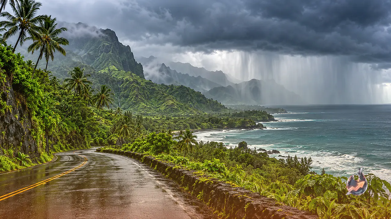

A severe weather setup developing across the Pacific Ocean is placing the Hawaiian Islands under high alert for extreme precipitation, flash flooding, and dangerous landslides over the next 72 hours. Weather forecasters emphasize that while the core of the storm is not projected to make direct landfall on the islands, its broader cloud field and intense moisture surge will sweep eastward across the archipelago. The system is expected to execute a sharp offshore turn, but the outer bands will channel vast amounts of tropical moisture directly over the island chain through Thursday night. This setup creates serious hazards for low-lying coastal communities, mountain passes, and vital transport corridors.
Authorities have issued clear warnings for residents, beachgoers, and visitors across the region. Coastal recreation, ocean activities, and island transit face significant disruptions as torrential rain threatens to oversaturate soils and cause swift runoff across major highways. Public safety officials stress that staying indoors and monitoring emergency updates will be essential as rainfall accumulations mount.
Olana Weakens in Wind Speed but Retains Severe Rain Threat
The disturbance originated late last week as an active cluster of thunderstorms over the Pacific. Over the weekend, the disturbance rapidly expanded its circulation, organizing into Tropical Storm Olana by Sunday. As it advanced along its oceanic path, hostile upper atmospheric winds began shearing the system, causing its sustained winds to diminish. By Monday evening, meteorologists reclassified the system as a Tropical Rainstorm.
A downgrade in classification does not eliminate the severe danger posed by the system. While gale-force winds may remain largely offshore, the primary risk lies in catastrophic rainfall rates capable of overwhelming drainage systems and triggering sudden torrents down steep mountain valleys. Maritime operators, boaters, and vacationers have been cautioned that conditions will deteriorate swiftly. The system carries a rating of 1 on the RealImpact Scale, a metric used by meteorologists to convey overall threat. A rating of 1 indicates that even without damaging hurricane-force winds, the prolonged deluges and flash flooding can inflict substantial property damage, disrupt key infrastructure, and create life-threatening circumstances for communities in vulnerable drainage basins.
Central Islands and Mountain Ridges Face Up to 30 Inches of Downpour
Precipitation models indicate that substantial rainfall will blanket Hawaii over the coming two to three days. The highest risk centers on mountainous terrain where orographic lifting will wring out moisture from incoming tropical air masses. Central islands such as Oahu, Molokai, and Maui are forecast to receive between 2 and 8 inches of rain. In localized high-elevation sectors, however, rainfall amounts could reach an astonishing 30 inches. Such extraordinary totals on already damp slopes pose an acute danger of mudslides and rockfalls across mountain roads.
The state capital of Honolulu, which had largely avoided the harshest impacts of the current tropical season, now lies directly in the path of this incoming moisture plume. Alexander DaSilva, a chief hurricane expert, explained that changes in atmospheric patterns during El Niño alter tropical storm trajectories across the Pacific basin. DaSilva highlighted that the most striking aspect of Olana is its approach toward Hawaii from the west, an exceptionally rare and unusual trajectory for Pacific tropical systems, which typically track in from the east or south.
Echoes of Hurricane Iwa in 1982 and Historical Rarity
The arrival of a tropical system from the western quadrant in late October represents a rare deviation from standard meteorological patterns. This development has drawn comparisons to November 1982, when Hurricane Iwa struck Hawaii and caused widespread devastation across several islands. In the historical weather record, Iwa remains the only tropical system to have impacted the main Hawaiian Islands during the month of November.
Furthermore, historical archives reveal that only two recorded tropical systems have ventured within a 100-mile radius of the main Hawaiian Islands during the month of October: Raymond in 1983 and Ana in 2014. Because late-season systems approaching from this angle are so uncommon, local emergency management personnel and atmospheric scientists are tracking Olana with heightened scrutiny.
An Unprecedented Storm Season Across Hawaii in 2026
The broader 2026 storm calendar has proven exceptionally active and erratic for the Hawaiian archipelago. Five named tropical systems have already passed in close proximity to the islands this year, leaving a record of extreme weather conditions across various coastlines.
The timeline of tropical systems affecting Hawaii in 2026 includes
- July 28: A weakening storm named Fausto passed roughly 200 miles north of the island chain.
- August 16: Hurricane Lala swept near the Big Island packing maximum sustained winds of 130 miles per hour, generating hazardous surf and localized squalls.
- September 8: Hurricane Lovol reached Category 5 status over open water with maximum winds of 258 kilometers per hour before curving near Niihau.
- September 23: Moke traversed the waters south of the main islands.
- September 26: Hurricane Nolo completed a remarkable 7,000-mile transit across the Pacific from Mexico to Japan, sweeping past the south of the Big Island with sustained winds of 155 miles per hour.
This relentless sequence of tropical activity has shattered regional rainfall benchmarks. In the city of Hilo alone, accumulated rainfall during August and September reached 37 inches, nearly doubling the seasonal climatological average. With groundwater levels near saturation, any additional heavy precipitation from Olana will rapidly convert to surface runoff, amplifying the risk of widespread flooding.
Threat of a Kona Storm Looming Over Halloween Weekend
The conclusion of Olana's passage may offer only temporary respite to island residents. Meteorologist Brandon Buckingham warned that atmospheric conditions could favor the formation of a new Kona storm to the west of the islands around the Halloween weekend. If that secondary system takes shape and tracks eastward, unsettled weather and drenching rain could persist into early November. Given the compounding moisture threats, officials strongly urge travelers to reconsider or cancel non-essential trips and advise residents to maintain complete storm preparedness.