

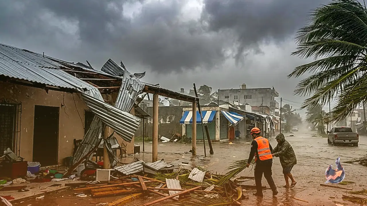




















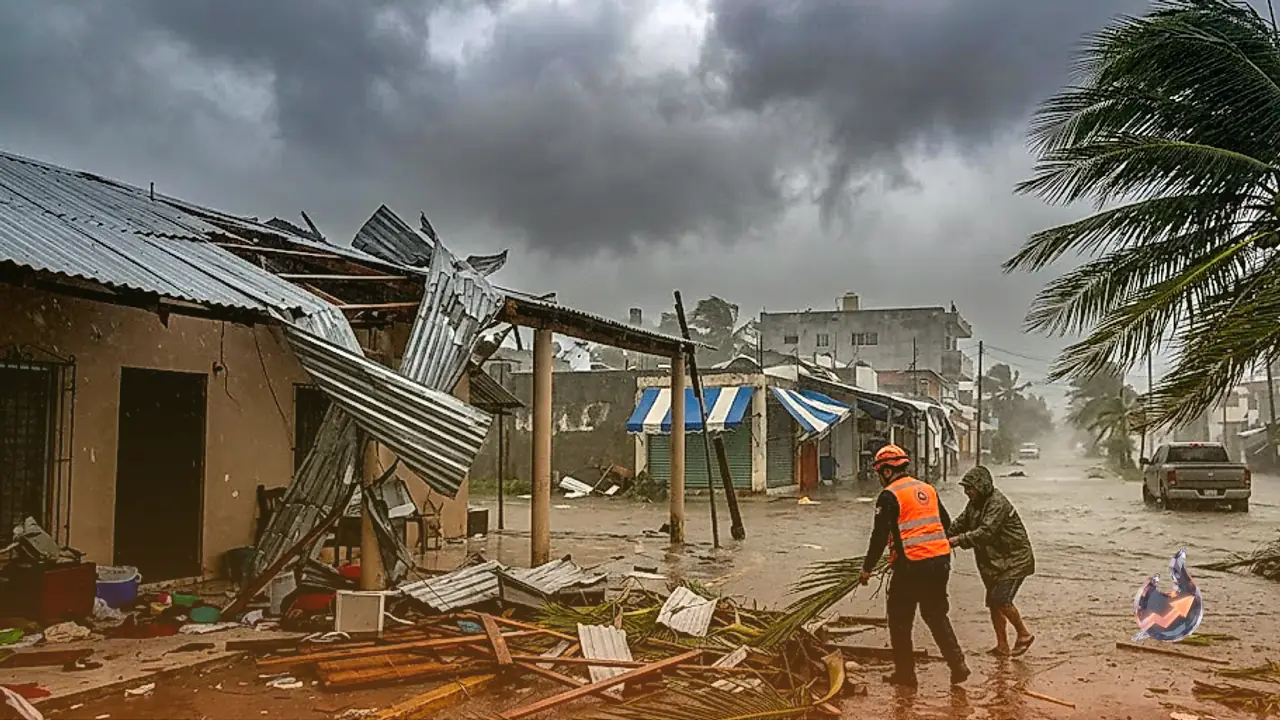

Severe weather continues to batter regions across the Pacific as coastal Mexico faces destructive conditions unleashed by Hurricane Trudy, closely following the turbulence generated by Cyclone Champi. Striking with sustained winds reaching 155 kilometers per hour, Hurricane Trudy ripped through shoreline settlements, tearing apart multiple residences and bringing relentless, heavy rainfall. Coastal authorities and meteorological agencies have urged residents to take severe precautions as rising floodwaters and strong gusts create hazardous living conditions across exposed shorelines.
Projected Trajectory and Coastal Warnings
Data from the National Hurricane Center classified Trudy as a Category 2 hurricane as it tracked northwestward on Sunday with sustained winds of 155 kilometers per hour. While forecasters expect the system to gradually veer away from the Mexican mainland, its core remained situated dangerously close to the coast through Sunday evening. The cyclone is projected to pass south of the Baja California Peninsula across Monday and Tuesday. In response to these dangerous conditions, storm warnings remain firmly in place along the coastal corridor stretching between Playa Perula and San Blas, as well as across Las Islas Marias.
Naval Warnings and Saturated Ground Concerns
The Mexican Navy has instructed seafarers to stay ashore and advised residents in coastal zones to maintain heightened vigilance. Warnings highlight hazardous swells, torrential rain, swollen rivers, flash floods, and debris flows. Authorities in Colima noted that while the immediate structural threat remains moderate, excessive rainfall poses substantial danger. Soil across several sections of the Pacific coastline remains completely soaked from prior storm systems, drastically increasing the likelihood of widespread inundation from any additional downpours.
Rainfall Projections Across Coastal States
Meteorologists estimate that Hurricane Trudy will dump between 10 and 20 centimeters of rainfall across the impact zone through the weekend. In localized areas across the coastal belts and adjacent territories of Michoacan, Colima, and Jalisco, cumulative precipitation could reach up to 30 centimeters. The National Hurricane Center issued urgent cautions regarding life-threatening flash floods and dangerous landslides, specifically emphasizing vulnerable sloping terrain and mountainous settlements.
Status of Cyclone Champi Near Guam
Meanwhile, across the broader Pacific basin, Cyclone Champi moved away from Guam after sweeping past the southern tip of the island on Sunday. Observations from the National Weather Service recorded sustained wind speeds inside Champi reaching 225 kilometers per hour. By Sunday afternoon, the center of the storm was located 418 kilometers west of Guam, moving westward at a pace of 19 kilometers per hour. Emergency officials from FEMA stated that while Champi showed temporary signs of weakening on Sunday, it is forecast to restrengthen into a monstrous Category 5 system by Monday evening. All active cyclone watches and warnings previously issued for Guam, Rota, Tinian, and Saipan have now been canceled.