





















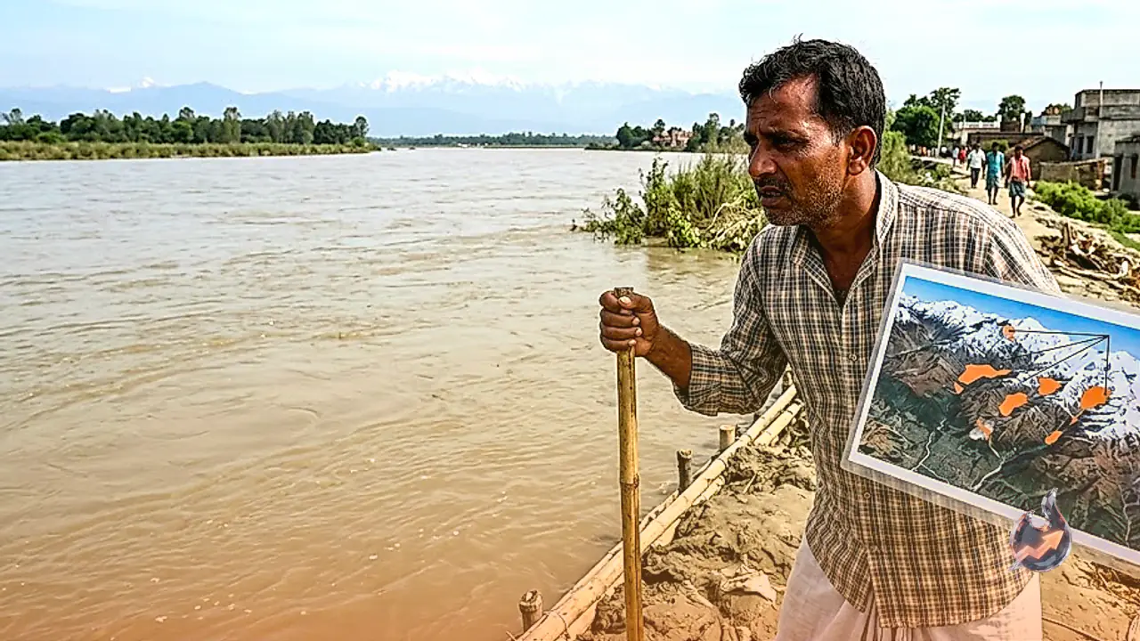

Recent devastating floods in Nepal were not merely the result of heavy rainfall or standard avalanches, as newly released satellite data indicates that massive amounts of debris from the mountains blocked river paths to form huge water impoundments. The National Remote Sensing Centre of the Indian Space Research Organisation identified two major artificial lakes created in the Rasuwa district following this geological disruption. According to the satellite analysis conducted by the agency, a severe ice-rock avalanche struck the Langtang Lirung mountain range, sending a massive volume of debris tumbling down into the valleys below. This displaced material obstructed the natural flow of the river channels, resulting in the creation of two substantial water bodies within the region.
Satellite Imagery Details the Scale of Impoundments
The satellite captures display a significant surface area for both newly formed water bodies, with one lake covering approximately 19 hectares and the second spanning nearly 11 hectares. Among these, the length of one particular impoundment was measured at roughly 944 metres, stretching nearly a full kilometre across the terrain. The presence of these large volumes of trapped water has introduced a looming threat to the downstream Indian states of Bihar and Uttar Pradesh. Experts note that if these precarious natural barriers fail or breach, the resulting surge could cause rapid and severe increases in the water levels of the Kosi and Gandak rivers, directly endangering villages and urban settlements situated along their banks in India.
Cartosat and Resourcesat Capture the Devastation
To assess the extent of the disaster and the resulting debris distribution, the national remote sensing facility utilised advanced observation capabilities from the Cartosat-3 MX and Resourcesat-2A satellites. The resulting imagery provided a comprehensive look at the extensive impact of the floods and material spread, stretching from the Langtang region down into the lower elevations. The analysis demonstrated how the avalanche debris continuously accumulated within the river pathways, choking the natural drainage system and allowing water to pool behind the obstruction. When this massive volume of stored water eventually broke through or overflowed, it triggered flash flood conditions in the lower valley sectors, compounding the destruction.
Infrastructure Damage and Rising Vulnerabilities
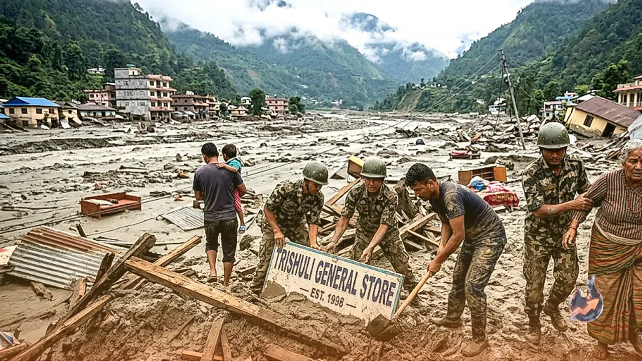
The satellite documentation highlights how river systems throughout the Langtang area have been severely altered by accumulated sediment and rock. The ferocious power of the rushing water dismantled vital regional infrastructure, with reports confirming that the Trishuli Dam and a newly constructed bridge were caught directly in the path of the torrent. The trail of destruction extended across a wide corridor from Rasuwa down toward Nuwakot. The combination of the initial avalanche, the subsequent blockage of waterways, and the sudden release of pent-up water created an exceptionally hazardous environment that caught local populations off guard.
Continuous Monitoring Required for Himalayan Regions
This detailed satellite assessment by the Indian agency remains critical for understanding ground realities, tracking shifts in river routing, and evaluating the capacity of newly formed blockages in remote terrain. Ongoing observation of these artificial water bodies and obstructed river channels is viewed as essential for mitigating future risks. The unfolding situation in Nepal serves as a stark reminder of the escalating dangers posed by glacial shifts, high-altitude avalanches, and sudden outburst floods across vulnerable Himalayan ecosystems.