





















Travel between Bengaluru and Mangaluru will soon extend far beyond the traditional journeys winding through difficult mountains and valleys. The framework for the EC-34 Bengaluru-Mangaluru economic corridor is currently taking shape to connect these two major commercial hubs in Karnataka. The primary objective of this ambitious project is not merely widening the existing roadway, but heavily focusing on fast and efficient freight transportation. Bengaluru serves as a massive center for information technology and various industries, while Mangaluru houses the New Mangaluru Port, which links Karnataka commerce to domestic and global markets via maritime routes. Establishing a rapid connection between these two points will extend its impact far beyond the roads, bringing anticipated transformations across commerce, employment, and tourism.
Designed for High Speeds and Modern Routing
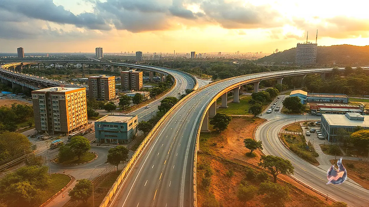
The most widely discussed aspect of this corridor is its proposed design speed. The new greenfield alignment suggests a design speed of up to 120 kilometers per hour. Spanning approximately 335 kilometers in length, the route is planned to incorporate tunnels and viaducts. The objective is to bypass those sections of the Shiradi Ghat where landslides and road closures frequently occur during the rainy season. Reaching Mangaluru from Bengaluru currently takes multiple hours on the existing route, but the new pathway is expected to cut travel duration down to roughly 3 to 4 hours. If the project moves forward according to proposal specifications, the entire structural accessibility to the western coast could undergo a complete transformation.
Integration Under the Bharatmala Project
The EC-34 corridor falls among the designated economic corridors identified under the Bharatmala project. Its main purpose is connecting Bengaluru more effectively to Mangaluru and the New Mangaluru Port. Alongside IT, Bengaluru houses industries such as automobiles and aerospace, with goods manufactured locally dispatched to different parts of the country. Mangaluru stands as a vital center for maritime trade on the opposite end. Fast road connectivity will seamlessly unite the economic requirements of both regions. The proposed greenfield corridor is reported to span roughly 335 kilometers, planned to originate in Bengaluru, pass through Hassan and Sakleshpur, reach Bantwal, and terminate in Mangaluru. Provisions for four to eight lanes are under consideration, though the final structure will depend upon the detailed project report and subsequent approvals.
Strong Emphasis on Bypassing Shiradi Ghat
The greatest necessity for this project stems directly from the challenges associated with the Shiradi Ghat. This region of the Western Ghats presents geographical difficulties, where landslides and road closures during the monsoon season disrupt traffic. The new alignment plans to navigate these sensitive stretches using tunnels and viaducts. This approach will help minimize weather-related impacts and establish safer year-round transit.
Travel Time Dropping to 3 to 4 Hours
Traveling between Bengaluru and Mangaluru via the current roadway takes roughly 6 to 8 hours. The proposed structural layout of the new corridor aims to bring this duration down to approximately 3 to 4 hours. Faster travel advantages will extend beyond regular passengers, as time saved for trucks and other freight carriers will directly impact transportation costs. This efficiency will simplify the movement of goods to the port for business operators.
Substantial Benefits for New Mangaluru Port
The corridor will directly benefit the New Mangaluru Port, allowing freight originating from industrial zones in and around Bengaluru to reach the harbor at high speeds. Time remains critical in import and export operations, and smoother road connectivity will facilitate cargo movement while giving momentum to port-associated logistics and transportation sectors.
Promoting Tourism Alongside Commerce
The impact of EC-34 is not expected to remain restricted strictly to industry and freight delivery. Mangaluru and the coastal region of Karnataka are well-known tourist destinations, and accessibility to Western Ghat areas will also become easier. Enhanced road networks can provide financial benefits to the hospitality and transport businesses, while increasing the probability of new commercial hubs developing in towns and cities along the route.
Expanding Opportunities in Employment and Logistics
During the construction phase of the corridor, local employment opportunities will emerge, followed by increased activity in sectors such as transportation and warehousing. Multiple activities, ranging from truck operations to repair services, are likely to expand. Securing superior connectivity for industrial zones will also foster a favorable atmosphere for fresh investments, with impacts visible from Bengaluru all the way to coastal Karnataka.
DPR Progress and Expected Construction Around 2028
The preparation process for the detailed project report, or DPR, is currently underway. Based on available information, an agreement with a consultant was finalized in April 2025, and preparing the DPR was estimated to take about 18 months. Construction work is projected to begin around 2028. Meanwhile, widening and improvement work on several stretches of NH-75 continues, with progress moving forward on a package basis in sectors like Hassan and Sakleshpur.
Mountains and Environmental Challenges as Major Hurdles
A road project of this magnitude faces significant challenges, given that the mountainous terrain of the Western Ghats is difficult for construction. Building tunnels and viaducts can prove technically demanding, while land acquisition and environmental clearances will also serve as vital issues. Detailed procedures across all these fronts are essential for advancing the project.