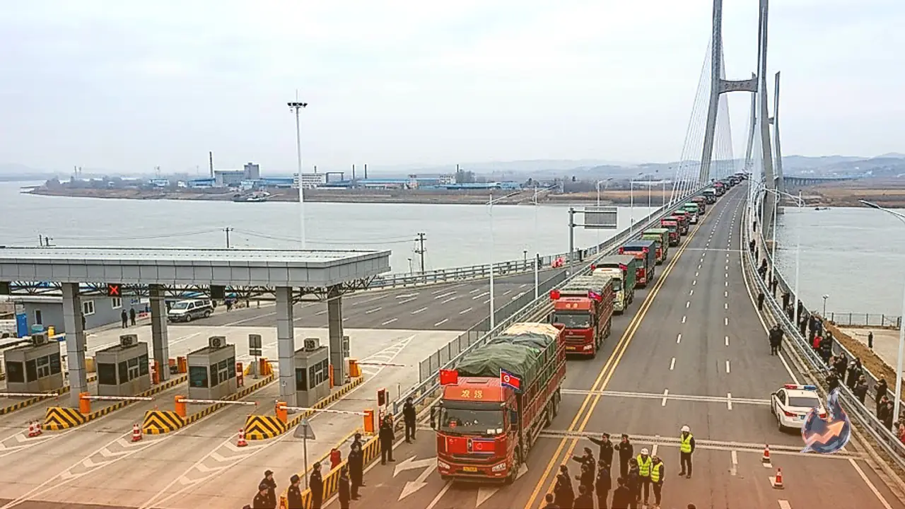






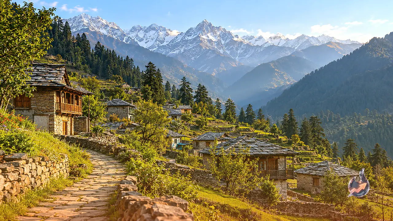















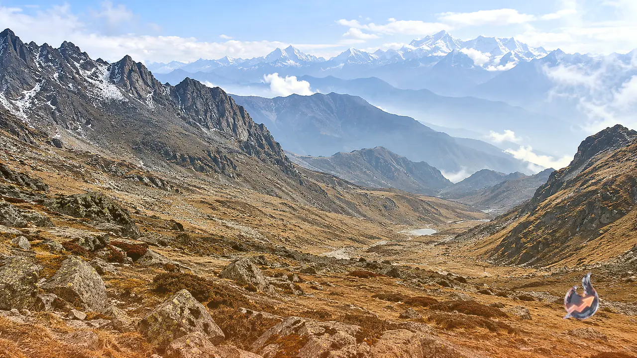

A critical 890 kilometre boundary along the eastern Himalayan frontier continues to define the strategic stand-off between India and China. When Chinese soldiers attempted to cross the border on foot on October 22, alert Indian personnel swiftly intercepted and thwarted their advance. Beijing has repeatedly asserted unfounded claims over Arunachal Pradesh, frequently inventing Mandarin names for local settlements and branding the territory as Zangnan or Southern Tibet in official publications. Despite these diplomatic and cartographic maneuvers, a century-old historical demarcation stands as an unyielding barrier defending India's sovereign perimeter.
This frontier is known globally as the McMahon Line, an 890 kilometre boundary that has shielded every stretch of Arunachal Pradesh against external territorial expansion for decades. Despite persistent military posturing, diplomatic friction, and coercive maneuvers, Beijing has remained unable to dismantle the legal and historical standing of this international boundary.
Strategic Motivations Behind Beijing's Focus on Arunachal Pradesh
The recurrent territorial assertions over Arunachal Pradesh represent a calculated combination of geopolitical posturing, historical revisionism, and defensive military doctrine. Rather than treating the region as ordinary frontier land, Beijing deliberately depicts it as Southern Tibet on state-sanctioned maps. Three principal factors drive this strategic focus.
The first factor relies on cultural and religious pretexts. Chinese narratives frequently highlight the deep-rooted cultural and spiritual connections between Arunachal Pradesh and Tibet. High-altitude regions such as Tawang host prominent monasteries and revered institutions of Tibetan Buddhism. Beijing continually attempts to project its sphere of influence over these religious centers to construct a retrospective veneer of authority over the area.
The second factor stems from direct military and topographical leverage. The rugged geography of Arunachal Pradesh commands commanding heights overlooking the broader northeastern expanse of India. Gaining tactical ground along these ridges could exert strategic pressure on surrounding regions, including the narrow Siliguri link often referred to as the Chicken's Neck corridor. Controlling or contesting these high-altitude vantage points remains a central objective in Chinese regional planning.
The third factor reflects administrative control over Tibet itself. Following the consolidation of Chinese authority over Tibet by the People's Liberation Army in 1949 and 1950, Beijing began treating all historical Tibetan contacts, disputes, and regional frontiers as extensions of its own sovereign territory, folding them into an expansive external posture.
The 1914 Simla Convention and the Demarcation Process
The institutional foundation of this border trace dates back to 1914, when high-level plenipotentiaries representing British India, Tibet, and China convened around the negotiation table in Simla. The diplomatic deliberations were led on the British Indian side by Foreign Secretary Henry McMahon, who oversaw the technical formulation and diplomatic alignment of the boundary.
During the Simla conference, the eastern boundary between British India and Tibet was formally finalized and legally adopted. Authorized representatives mapped the frontier across large-scale geographical sheets using clear red ink lines, giving rise to the formal designation known as the McMahon Line. The signed treaty explicitly confirmed that the entirety of Arunachal Pradesh, including the strategic district of Tawang, fell squarely within the sovereign perimeter of India. Tibetan representatives signed the accord, providing full bilateral legitimacy to the newly defined alignment.
Chinese Legal Counter-Arguments and the Historical Reality
Following the conclusion of the Simla agreement, Chinese authorities consistently registered disagreement. Beijing continues to dispute the validity of the border, categorizing the accord as an unequal legacy of the colonial era that lacks international legal force.
The core assertion advanced by Beijing claims that Tibet was not an independent sovereign state in 1914, and therefore lacked the legal capacity to enter into binding international frontier treaties with British India without imperial consent.
Archival evidence directly refutes that narrative. In 1914, Tibet functioned with de facto independence and autonomous authority, possessing its own executive government, maintaining its own military forces, and conducting independent external diplomacy. The original treaty documentation and maps delineating the McMahon Line remain preserved in the British Library in London and within the National Archives of India in New Delhi. These verified records serve as definitive proof confirming Arunachal Pradesh as an integral part of sovereign Indian territory.
The 1950 Turning Point and Rising Regional Pressure
The strategic dynamics across the frontier shifted fundamentally following the 1949 revolution in China and the subsequent military occupation of Tibet by the People's Liberation Army in 1950. With Tibet brought under direct military rule, Chinese positions advanced directly up to the established Himalayan frontier of India.
Chinese authorities subsequently leveraged former Tibetan territorial disputes to claim rights over vast areas, repudiating the McMahon Line and asserting claims across approximately 90,000 square kilometres of Arunachal Pradesh. Breaking through this eastern boundary was a primary military focus during the 1962 border war. Heavy resistance from Indian forces halted long-term designs, forcing Chinese units to pull back. Today, the McMahon Line remains the foundational legal and operational benchmark for the eastern sector of the Line of Actual Control, or LAC.
India's Resolute Strategic and Legal Stand
In modern operational terms, efforts by Beijing to rename border settlements, deploy military reinforcements along the LAC, or publish unilateral geographic charts have failed to alter ground realities across this 890 kilometre border. India's stance remains firm and consistent, resting on established international law and robust ground defense to protect the integrity of its frontier.