




















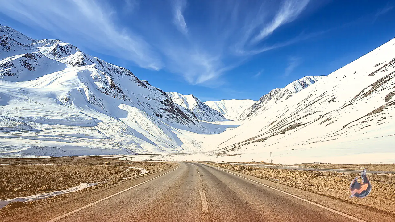

High-altitude passes and ridges across Jammu and Kashmir and Ladakh have witnessed fresh snowfall, ushering in a sharp dip in mercury across the northern frontier. The first moderate spell of winter precipitation blanketed higher reaches around Dras, transforming the landscape along the strategic Srinagar-Kargil-Leh national highway into a stretch of white. Early morning snow accumulation was recorded across Zojila Pass, Sadhna Pass, Razdan Pass, Gumri hills, Dras, and Minamarg in Ladakh. Concurrently, lighter spells of snow dustings were reported from higher segments of Gulmarg and the Pir Panjal mountain range, signaling a seasonal transition.
Precipitation Confined to Upper Reaches Amid Plunging Temperatures
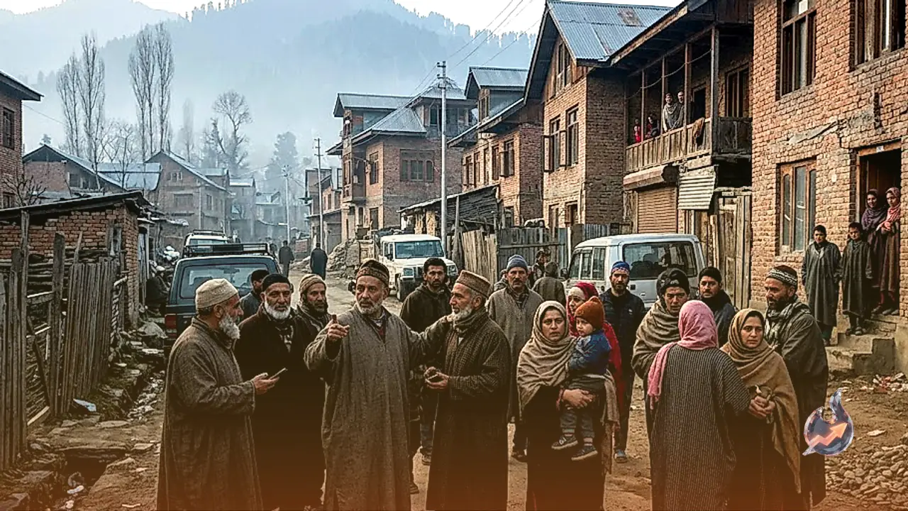
While the actual accumulation of snow has remained primarily restricted to higher elevations, plains throughout Kashmir and Ladakh have experienced dense cloud cover that substantially pulled down ambient temperatures. The snowfall between Zojila and Minamarg altered road surface conditions along this critical high-altitude corridor. Even though valley floors and inhabited plains have not recorded direct snowfall during this spell, the persistent overcast sky and cold winds blowing down from the mountains have led to an early onset of bitter chill, prompting residents to layer up.
Travel Advisories and Safety Protocols on the Strategic Highway
In response to hazardous road conditions, authorities have issued detailed travel guidelines for vehicular traffic operating on the Sonamarg-Zojila-Minamarg section. Drivers have been cautioned against speeding and advised to monitor real-time updates directly from the traffic control room before embarking on journeys. Vehicles passing through slick stretches are strongly instructed to deploy anti-skid chains on tires to prevent slips and accidents. Traffic flow along the Srinagar-Sonamarg-Gumri corridor is currently permitted strictly under regulated time windows based on continuous evaluations of weather and surface clearance.
Forecast by Meteorological Authorities
According to forecasts released by the India Meteorological Department (IMD) alongside regional weather monitoring centres, overcast skies are expected to prevail across Jammu and Kashmir over the next 24 hours. Scattered light rain or snow remains probable during this period. Through October 30, higher elevations may continue to experience intermittent light precipitation, isolated thundershowers, or snowfall. Subsequent to this spell, weather patterns are anticipated to turn largely dry across the territory for a few days, though isolated flurries or light drizzles cannot be entirely ruled out in vulnerable pockets.
Early Seasonal Markers and Gradual Winter Onset
This phase of snowfall marks the progressive arrival of harsh Himalayan winter conditions. Earlier within the October mid-to-late window, spells of light to moderate snow had already dusted prominent passes such as Razdan Pass, Peer Ki Gali, Sinthan Top, Margan Top, Affarwat near Gulmarg, Baltal-Sonamarg, Gurez, and Tulail. Those earlier episodes had driven daytime temperatures across Kashmir and parts of Jammu division multiple degrees below seasonal averages, briefly drawing tourist footfalls to snow-draped corridors like Razdan Pass. Although lower valley settlements currently report undisturbed daily routines, the accumulating layers over key transit passes indicate that severe winter conditions are swiftly taking hold.