



















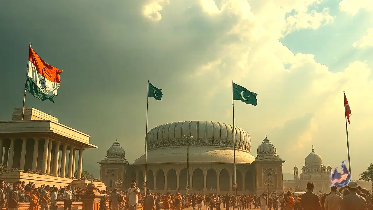

The global map is on the brink of a major transformation as the United Nations prepares to present a revised world map showing accurate and realistic proportions. India offered its open backing to this proposal, but the diplomatic maneuvers quickly triggered tensions across the border. No sooner had India's official stance emerged than Pakistan reacted with immediate anxiety, issuing a formal statement within twenty-four hours to revive its rhetoric on the Kashmir issue. Observers note that this was far from a routine vote on map formatting; it represented a strategic masterstroke reflecting India's growing diplomatic clout on the international stage.
Understanding the UN Map Resolution and Mercator Projections
The world map taught in schools, printed in textbooks, and displayed across the internet since childhood contains a massive geographical distortion. This conventional layout relies on an aging cartographic technique known as the Mercator projection. A closer analysis reveals that the primary flaw of this projection is its tendency to render countries situated near the northern and southern poles vastly larger than they actually are. Conversely, major continents located near the equator appear significantly smaller than their true physical dimensions.
A casual glance at standard maps suggests that Greenland and the African continent share roughly comparable dimensions. The stark reality, however, is that Africa is nearly fourteen times larger than Greenland. This means the maps accepted as standard for generations fail to project an accurate and truthful picture of the globe. To correct this geographical inaccuracy, a special draft was introduced at the United Nations under the leadership of the African nation Togo, titled 'Correct the Map'. The initiative aims to introduce a map that portrays the genuine land area of every continent and nation in precise and equal proportion. This step was deemed essential to secure proper geographical representation for developing regions like Africa on international platforms.
India's Endorsement and the External Affairs Ministry's Firm Stance
When the proposal came up for a vote on September fourth, India cast its vote in favor without hesitation. India maintained that Global South and African nations deserve accurate representation of their true landmass on global cartography. However, India's vote triggered unwarranted speculation in Pakistan that boundary adjustments might somehow influence political borders. To dispel this confusion, Ministry of External Affairs spokesperson Randhir Jaiswal issued an official statement addressing the matter directly.
Randhir Jaiswal emphasized that India's vote was strictly intended to endorse the principle of displaying accurate geographical proportions of continents. He issued a clear warning to the international community, stating that the UN proposal does not imply endorsement of any specific political map, project, or international boundaries of any nation. India's stance concerning its territorial integrity and sovereignty remains unambiguous, consistent, and uncompromising. Through this categorical statement, India reminded the global community that Jammu and Kashmir have been, are, and will always remain integral parts of the nation.
Pakistan's diplomatic establishment reacted with immediate panic following India's clear declaration. On Monday, Pakistani Foreign Ministry spokesperson Sajjad Haider Khan released a provocative statement attempting to dismiss India's position as baseless, while asserting that unilateral statements cannot alter the international status of Jammu and Kashmir. Repeating hackneyed rhetoric, the Pakistani spokesperson claimed that the Kashmir dispute remains the oldest unresolved item on the United Nations Security Council agenda, demanding a plebiscite under UN supervision.
This anxious reaction underscores how deeply unsettling India's assertive diplomatic posture is for authorities in Islamabad. Pakistan remains apprehensive that India's direct articulation of its territorial boundaries on every global platform effectively dismantles its fabricated narrative on Kashmir. The underlying cause of this frustration stems from Pakistan's own repeated diplomatic failures on multilateral forums.
Global Voting Patterns and the Position of the United States
When the resolution was put to a vote in the United Nations General Assembly, the proposition to revise and equalize global mapping received overwhelming backing. A total of one hundred and sixty-four countries voted in favor of the proposal, with India playing a prominent role among them. The numerical breakdown of the vote highlighted fascinating dynamics in international diplomacy.
One hundred and sixty-four nations, including India, supported the resolution, affirming that developing countries deserve accurate representation on world maps. In contrast, the United States stood alone in opposition, voting against the measure based on the argument that map standardization falls under the purview of scientific institutions rather than a political assembly of the UN. Meanwhile, six nations including Ukraine, Serbia, Moldova, Georgia, Estonia, and Lithuania chose to abstain from the voting process entirely.
This voting pattern clearly demonstrates that India firmly championed the voices of developing nations and Africa, further consolidating its standing as a leader of the Global South on the international stage.