




















In the wake of recent catastrophic glacial flooding in Nepal that caused widespread devastation, environmental authorities in Uttarakhand have heightened their vigilance across the sensitive Himalayan glacier network, focusing specifically on the Gangotri glacier region. Reports detailing the emergence of multiple small water bodies on the surface of the Gangotri glacier triggered immediate concern among local communities and state administrators. Responding to these developments, the Uttarakhand State Disaster Management Authority officially approached the Wadia Institute of Himalayan Geology, located in Dehradun, requesting a formal scientific assessment and an updated situation report on the glacier's current hydrological conditions. This administrative directive underscores the critical importance of maintaining continuous scientific surveillance over Himalayan ice masses and their associated glacial lakes to anticipate potential environmental hazards before they escalate.
Scientific Assessment of Gangotri Supraglacial Lakes
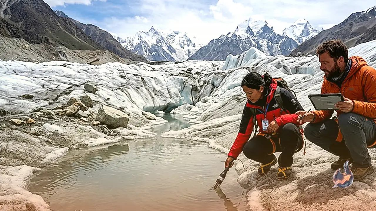
Following a preliminary evaluation of the region, geologists and glaciologists at the Wadia Institute of Himalayan Geology clarified that the observed water bodies are primarily supraglacial lakes of an ephemeral nature. These small pools form naturally when melting ice and seasonal snow accumulate within localized depressions, hollows, and crevices on the upper surface of the Gangotri glacier. Scientific findings indicate that the total water retention in these individual depressions remains exceptionally low. Because these pools are small and shallow, experts confirmed that they do not currently possess the volumetric capacity required to trigger a major Glacial Lake Outburst Flood, widely abbreviated as a GLOF. Unlike large moraine-dammed glacial lakes that hold millions of cubic meters of water behind fragile natural debris walls, these minor surface pools pose no immediate danger of catastrophic breaching or sudden downstream flooding.
Environmental Dynamics and Natural Lake Evolution
Glaciologists emphasized that water bodies situated on glacier surfaces are dynamic entities that continuously evolve under the influence of shifting climatic factors. Parameters such as ambient air temperature, solar radiation, seasonal rainfall patterns, and the rate of ice melting directly govern the surface area and water volume of these supraglacial features. As thermal conditions fluctuate, water within these depressions may drain naturally through internal subglacial conduits, re-freeze during colder spells, or dissipate as the underlying glacier shifts and deforms. Consequently, many of these small lakes appear during warm periods and disappear entirely over subsequent weeks or months. Despite their temporary character, scientists highlight that tracking these micro-level changes is vital, as subtle shifts in glacier hydrology provide valuable insights into broader climate trends affecting the High Himalayan region.
Comprehensive Satellite and Field Surveillance Protocols
Although current scientific evidence rules out an immediate threat to downstream valley communities, government agencies and scientific bodies are not reducing their operational monitoring efforts. The Wadia Institute of Himalayan Geology, in close coordination with the Uttarakhand State Disaster Management Authority, has deployed a multi-layered monitoring framework incorporating satellite remote sensing technology alongside ground-based field surveys. This continuous observation strategy aims to track key hydrological variables, including changes in the physical dimensions of the lakes, variations in water storage, and structural shifts in the surrounding glacial terrain. By analyzing continuous satellite feeds and conducting periodic field evaluations, scientists aim to establish an early warning mechanism capable of identifying potential hazards well before they pose a risk to life or infrastructure in Uttarakhand.