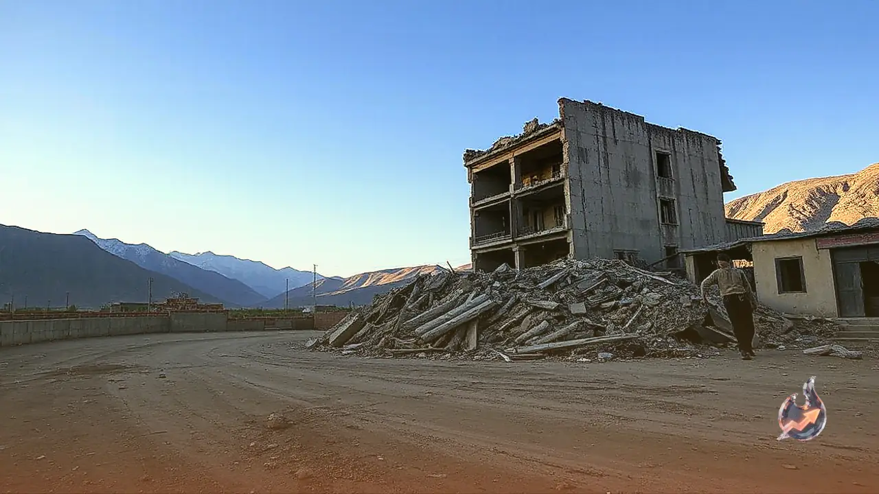
























A devastating 7.7 magnitude earthquake that struck eastern Indonesia has left at least 53 people dead, with rescue teams recovering six more bodies from the rubble on Sunday. Thousands of displaced residents spent a terrifying night out in the open or in makeshift tents, fearing structural collapses driven by a relentless series of aftershocks. On the Catholic-majority island of Flores, the tremor triggered massive landslides, prompting emergency crews to search through debris across six hard-hit areas. Rescue operations are focusing heavily on Manggarai, East Manggarai, and Nagekeo due to the extreme difficulty in accessing these remote, mountainous communities.
Landslides Block Roads and Hamper Search Efforts
Fathur Rahman, head of the Search and Rescue Office in Maumere, the capital of Sikka Regency, confirmed that emergency teams have cleared most of the landslide debris, reopening access roads to villages that had been completely cut off. However, widespread power outages and severe disruptions to communication networks continue to hinder rescue operations across the region. Across East Nusa Tenggara province, more than 900 homes were completely destroyed and another 450 sustained severe damage, forcing approximately 5,000 displaced people to seek refuge in temporary emergency shelters.
Nearly 1,000 Aftershocks Trigger Panic Following Tsunami Warning
Abdul Muhari, chief of disaster prevention at the National Disaster Management Agency, reported that at least 241 houses were damaged in the Flores area alone. According to data from the US Geological Survey, the powerful quake struck shortly before 6:00 AM local time on Saturday at a shallow depth of 10 kilometers. An initial tsunami warning sparked widespread panic, forcing coastal residents to flee to higher ground before the advisory was subsequently lifted. Officials noted that at least 995 aftershocks have been recorded since the main quake, with 46 felt directly by residents, while 135 people sustained injuries requiring medical attention.
Impact on Tourism Hubs and Key Highways
In Labuan Bajo, a primary gateway to the world-famous Komodo National Park and one of Indonesia's top tourist destinations, many residents spent the night outdoors due to the continuous shaking. Speaking from a makeshift tent near her damaged home, farmer Anastasia Imad said, "The tremors were terrifying, so strong that my house almost collapsed." Residents expressed deep fears that remaining structures would collapse on them while sleeping. Landslides have also severely blocked portions of the Trans-Flores Highway, a vital 700-kilometer road network that links communities across the mountainous island.
Relief Operations and Essential Supply Distribution
Relief workers are actively distributing emergency supplies, including rice, ready-to-eat meals, clean drinking water, blankets, and essential medicines to affected families, while temporary shelters are being set up across the region. Disaster response officials stated that restoring electrical power and communications, alongside delivering aid to isolated rural villages, remain their top priorities.
Indonesia's Position on the Pacific Ring of Fire
Comprising an archipelago of more than 17,000 islands, Indonesia is highly vulnerable to seismic disasters due to its position on the Pacific Ring of Fire, an arc of active volcanoes and tectonic fault lines surrounding the Pacific Ocean. Flores island has a grim history of severe seismic events. In 1992, a massive earthquake and triggered tsunami killed approximately 2,500 people on the island. In 2018, a 7.5 magnitude quake and tsunami on Sulawesi island claimed over 4,400 lives. Most destructively, a colossal 9.1 magnitude earthquake off Sumatra in 2004 triggered a Indian Ocean tsunami that killed nearly 230,000 people across a dozen countries.