























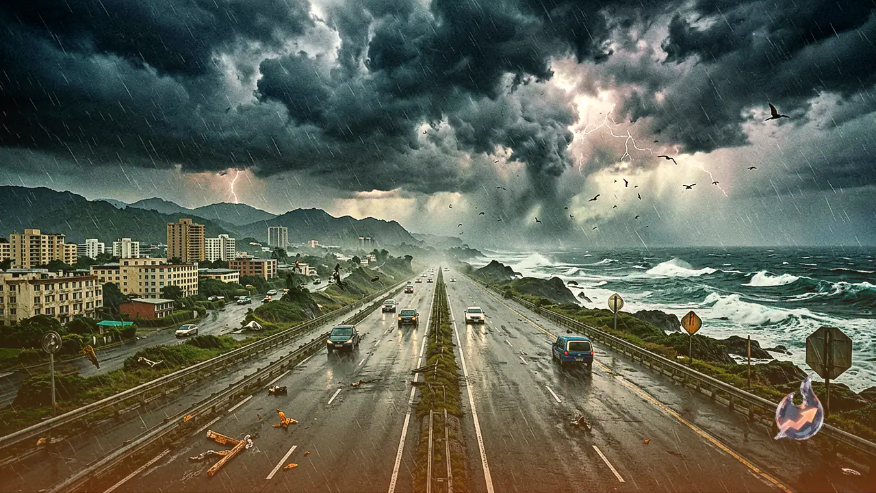

The island chain of Hawaii is reeling from severe infrastructure damage following the passage of Hurricane Lala across the Central Pacific Ocean. Moving with winds reaching speeds of up to 200 km/h, the powerful cyclone did not make a direct landfall, yet its devastating fringes transformed major highways into fast-flowing rivers and tore up paved roads. Weather monitoring centers report that after clearing the islands, the storm absorbed ocean moisture to re-strengthen into a severe hurricane. At the same time, atmospheric conditions near the Mexican coastline have triggered the formation of two additional tropical storm systems, raising alarms of back-to-back maritime threats.
Torrential Deluge and Infrastructure Destruction on Hawaii's Big Island
Although the core of Hurricane Lala did not collide directly with Hawaiian landmass, the archipelago caught the storm's most destructive quadrant. As a result, Hawaii's Big Island bore the brunt of severe meteorological devastation. Continuous torrential downpours collapsed heavy asphalt roads and primary highways like decks of cards, causing rivers of floodwater to course down main thoroughfares.
Rainfall figures published by the National Weather Service highlight the extraordinary scale of the deluge. The Laupahoehoe district experienced the most intense damage, recording a staggering 43.55 inches of rainfall. Severe precipitation was also recorded across other locations, with Nahuku logging 37.27 inches, Nene Cabin registering 37.20 inches, and the mountainous sector of Mauna Loa seeing 26.42 inches. Hilo International Airport recorded 14.21 inches of rainfall. By comparison, Honolulu registered 5.35 inches of rain, which, despite appearing smaller beside the mountain totals, remains sufficient to cause substantial urban flooding. More than 3 feet of water swept across multiple Big Island zones, severing critical transport links.
Orographic Enhancement: How Volcanic Topography Amplified the Rainfall
The primary atmospheric mechanism behind the record breaking rainfall and destroyed highways, despite the lack of direct landfall, is known as orographic enhancement. As moisture-laden tropical winds generated by the storm encountered Hawaii's high volcanic peaks, the air mass was forcefully pushed upward into higher layers of the atmosphere. Rapidly cooling at high altitudes, the moisture condensed and dropped as catastrophic rain directly onto the windward mountain slopes.
This topography-driven downpour propelled over 3 feet of runoff through mountain paths and onto primary roads, sweeping away infrastructure. Conversely, the leeward side of the mountains, known as the rain shadow zone, experienced significantly lower precipitation levels. A similar geographical mechanism caused catastrophic damage during Hurricane Helene in 2024.
Extreme Winds up to 225 km/h and High-Altitude Snowfall
Hurricane Lala delivered extreme gale force winds alongside record rainfall. Wind gusts at the summit of Mauna Kea peaked at an astonishing 225 km/h. Across lower elevation zones on the island, sustained wind speeds ranged between 105 km/h and 146 km/h, uprooting massive trees, knocking out electricity for thousands of households, and blocking major roadways with debris.
In a striking climatic contrast, while lower valleys struggled against rising floodwaters, temperatures at high mountain summits plunged rapidly. This sudden temperature drop produced heavy snowfall atop the peaks of Mauna Kea and Mauna Loa. Meteorologists noted that Lala demonstrates how a tropical cyclone does not require direct landfall to cause widespread structural destruction; proximity alone can severely disrupt an entire region.
Re-energized Storm Lala and the Dual Threats Emerging near Mexico
After sweeping past Hawaii toward the west, Hurricane Lala drew moisture and thermal energy from warm sea surface waters, regaining full hurricane intensity. The Fox Forecast Center reports that atmospheric instability across the Pacific Ocean is intensifying.
The National Hurricane Center is currently tracking two new tropical cyclones taking shape in the Eastern Pacific Ocean off the coast of Mexico. Forecast models suggest that one of these systems could gain strength and track toward the Hawaiian Archipelago in the coming days. If this trajectory holds, residents in Hawaii will face a second major tropical cyclone while cleanup operations from Lala remain underway.
The El Niño Factor: Escalating Tropical Activity across the Pacific
The underlying catalyst driving this sequence of severe weather events is the rapidly strengthening El Niño climate pattern across the Pacific Ocean. Unlike in the Atlantic Basin, active El Niño conditions in the Pacific significantly boost both the frequency and destructive power of tropical cyclones.
Estimates from the National Oceanic and Atmospheric Administration indicate that this El Niño event could rank among the strongest on record. Abnormally high ocean temperatures serve as fuel for developing cyclones, increasing the likelihood of further intense storm systems rising across the Pacific Ocean in the near future.