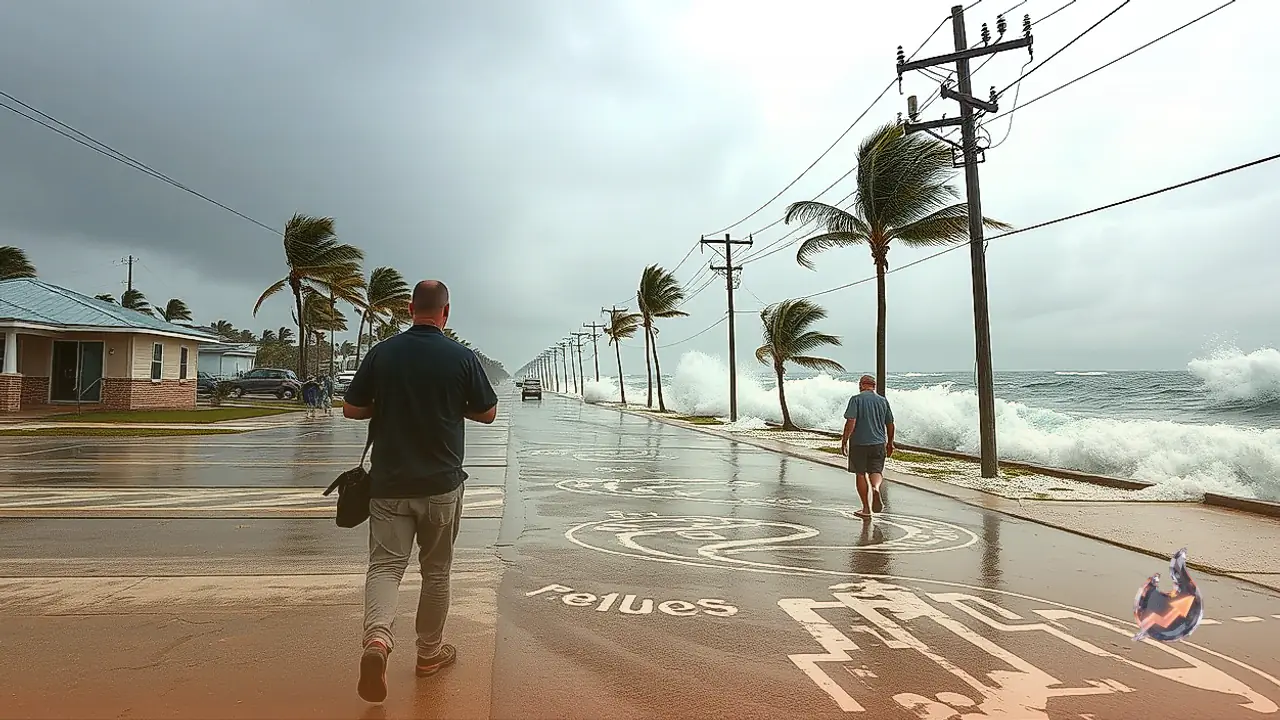
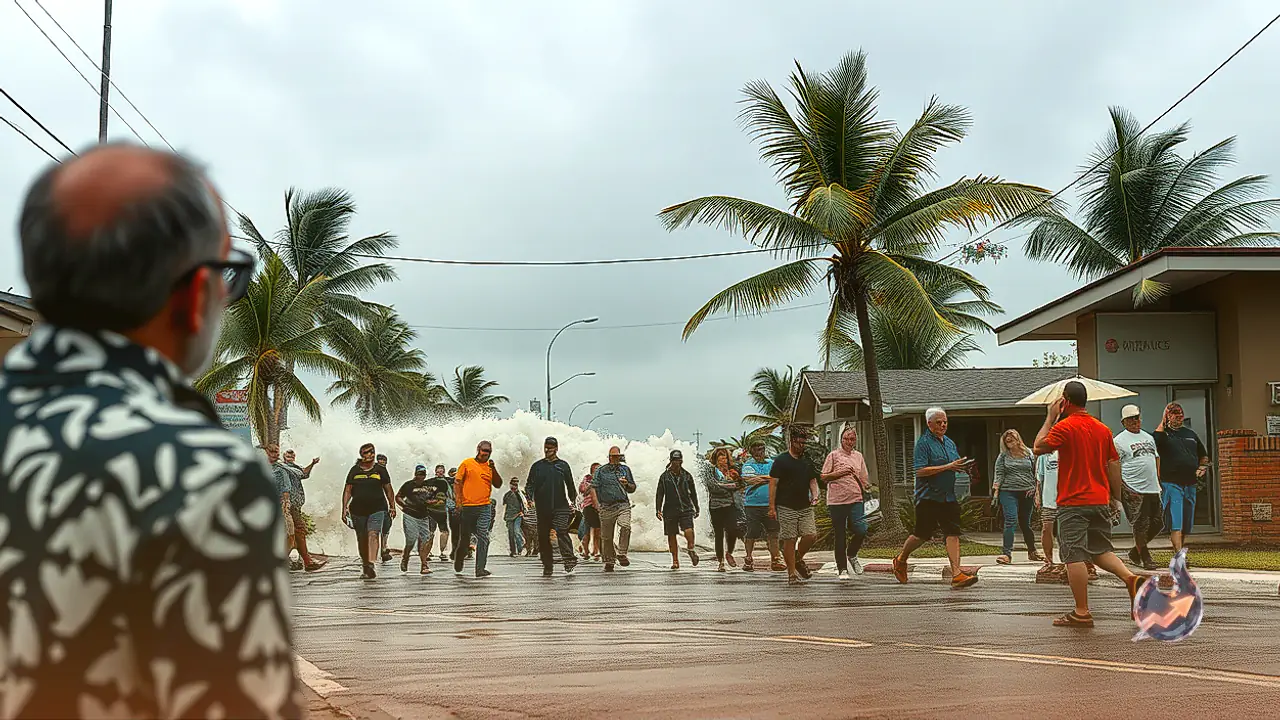























Atmospheric scientists are monitoring an exceptionally rare meteorological convergence as three major tropical systems develop simultaneously across dual oceanic basins. Experts describe this phenomenon as a rare triple tropical threat capable of inflicting severe regional devastation. Leading this cyclonic trio is Hurricane Simon, which has rapidly escalated into a monstrous Category 4 hurricane. Alongside Simon, two additional storms named Rachel and Isaias are pushing through separate corridors, creating an expansive zone of vulnerability. Over the next 72 hours, emergency models project catastrophic rainfall capable of washing away terrain and triggering widespread mudslides.
A Dangerous Triad Spans Pacific and Atlantic Waters
Coastal territories across Mexico and the United States currently serve as the primary impact zones for this multifaceted natural onslaught. Emerging from the Eastern Pacific, the formidable Hurricane Simon is advancing aggressively toward southwestern Mexico. Simultaneously within the same oceanic basin, a secondary system named Rachel is tracking northward toward Southern California. Completing this destructive combination is Hurricane Isaias, which originated in the Atlantic Ocean and has already made landfall along the Central Gulf Coast of the United States. Spanning from the Pacific to the Atlantic, these concurrent storms are exerting simultaneous pressure on massive landmasses.
Abnormally Warm Waters Fuel Rapid Intensification of Simon
Meteorological data indicates that Hurricane Simon underwent explosive intensification over an extraordinarily short window. The primary mechanism driving this rapid escalation is the elevated sea surface temperature across the Eastern Pacific Ocean. Marine surface temperatures in the region are currently running several degrees above historical averages. Superheated ocean water functions as high-octane fuel for tropical cyclogenesis, continuously discharging massive amounts of heat and moisture into the developing vortex.
Favorable upper-level atmospheric dynamics and sharp localized drops in barometric pressure further accelerated Simon into a powerhouse Category 4 hurricane. Meteorologists anticipate that the cyclone will preserve its peak structural strength right up to its imminent impact with southwestern Mexico. While dry continental air descending from the Mexican mountain ranges could theoretically infiltrate the storm's circulation and induce modest weakening, authorities emphasize that the life-threatening danger on the ground will not diminish meaningfully.
Catastrophic Rainfall and Mudslide Hazards in Jalisco and Colima
Torrential precipitation represents the most devastating threat posed by Hurricane Simon. Heavy squalls and torrential downpours have already commenced along Mexico's southwestern coastline, progressively intensifying in coverage and volume. Coastal sectors throughout Jalisco and Colima are projected to receive between 18 and 24 inches of extreme rainfall. In isolated, highly vulnerable pockets, localized accumulation totals could reach an extraordinary 38 inches, virtually guaranteeing catastrophic flooding across streets, residences, and infrastructure.
The rugged topography of southwestern Mexico significantly magnifies this hazard. When extreme moisture cascades over steep mountainous terrain, runoff channels violently down canyons, ravines, and river valleys, setting off flash floods and destructive land collapses. This extensive moisture field will not remain confined to coastal areas; monsoonal plumes will drift northward, depositing 1 to 2 inches of rainfall across Oaxaca, Chihuahua, and extending into the southwestern United States.
Sustained 190 km/h Winds and Destructive Coastal Surge
Conditions will reach extreme severity as the core of Hurricane Simon reaches land. Coastal districts across Jalisco, Nayarit, and Sinaloa face sustained winds ranging from 160 to 190 km/h. Peak wind gusts during coastal landfall are forecast to reach violent velocities between 225 and 250 km/h. Winds of this magnitude possess sufficient kinetic force to uproot mature trees, topple high-voltage electrical towers, cause sweeping municipal blackouts, and compromise the structural integrity of sturdy buildings. Additionally, a destructive storm surge measuring 10 to 15 feet is projected to inundate low-lying coastal communities.
Rachel Threatens California While Isaias Batters the Gulf Coast
The simultaneous meteorological strain extends well beyond the path of Simon. Operating in the Eastern Pacific, Tropical Storm Rachel is pushing toward Southern California and neighboring inland valleys. By interacting with the upper-level jet stream, Rachel is siphoning vast quantities of atmospheric moisture northward, raising significant concerns for flash flooding and debris flows across Southern California toward the end of the weekend and early next week.
Concurrently, Hurricane Isaias has pushed ashore from the Atlantic, striking the Central Gulf Coast of the United States. Isaias continues to drive intense gale-force winds from Alabama straight into the Appalachian mountain range, triggering widespread localized flooding and infrastructure disruption across eastern US regions. While hurricanes are traditionally categorized solely by wind speed under the Saffir-Simpson scale, the comprehensive destructive footprint of Simon, including its extreme surge and rainfall, has earned it a severe level 4 rating on specialized real-impact assessment indices.