























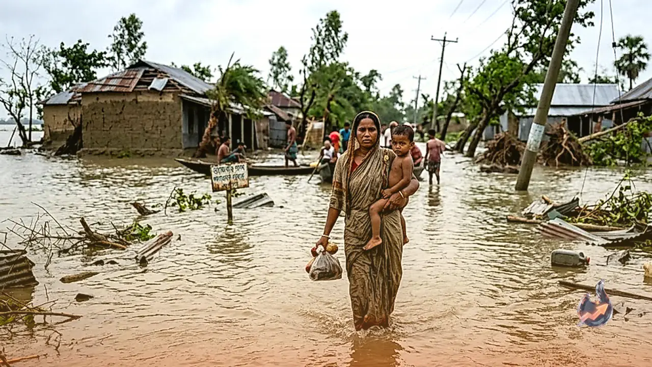

A sharp and relentless warming of ocean waters in the Pacific has begun disrupting global weather patterns on an alarming scale. Known as El Nino, the anomalous heating of sea surfaces has turned vast expanses of the Pacific Ocean into an active breeding ground for tropical storms. Atmospheric scientists tracking the phenomenon note that since its emergence in June, the system has steadily gained strength. This continuous warming has directly driven the development of at least 17 tropical cyclones in the region, several of which escalated into violent typhoons and major hurricanes that caused extensive devastation. While Pacific coastal territories confront relentless torrential rains and gale-force winds, India is facing the opposite extreme, as a suppressed monsoon leaves significant portions of the country under the grip of a deepening moisture deficit.
Devastating Cyclone Wave Hits Pacific Nations and Global Supply Chains
The heat radiating from the Pacific surface has generated optimal atmospheric conditions for tropical cyclogenesis, dramatically accelerating the frequency of typhoons and hurricanes. Since April, storm systems churning through the Pacific have claimed more than 230 lives. The accompanying disruptions to maritime logistics, coastal communities, and commercial infrastructure have triggered billions of dollars in economic damages. Recently, another intense storm system approached close to Japan, even as meteorologists warn that the environment will remain favorable for further storm development through November.
China has been hit particularly hard by successive natural disasters, having weathered three major storms during July alone. Official records from the United States government evaluate the direct economic destruction in China during July at approximately $8.5 billion, which translates to roughly ₹81409 crore. Beyond local physical devastation, the fallout has reverberated across international shipping networks. Container shipping powerhouse Maersk warned in an operational advisory that back-to-back typhoons caused acute vessel congestion at pivotal Asia-Pacific maritime hubs, significantly deteriorating on-time arrival performance across global trade lanes.
In stark contrast to the hyperactivity churning through the Pacific basin, the Atlantic Ocean has remained noticeably subdued this season. Historical climate tracking indicates that the Atlantic storm season experienced its quietest opening stretch since 1941, underscoring the deep atmospheric contrast currently dominating global waters.
August Smashes 63-Year Pacific Storm Record
Meteorological experts point out that the ongoing storm frenzy in the Pacific is powered by two converging sources of marine heat, primarily led by El Nino. In this phenomenon, vast corridors of upper ocean water heat up well past typical baseline levels. This heightened surface temperature provides immense thermal energy, facilitating rapid cyclone intensification across expansive maritime territories. Under these conditions, the Pacific Ocean and the South China Sea collectively witnessed the formation of 12 distinct cyclones during August alone.
Data compiled by Hong Kong meteorologists confirms that the 12 cyclones formed in August represent the highest number of storms ever recorded in a single month since 1961. This historical peak underscores the unprecedented intensity of tropical activity across the basin this year. Atmospheric systems in the central and eastern Pacific have demonstrated comparable fury, with at least 17 weather systems reaching named storm intensity. Of these, 6 escalated into hurricanes and 4 attained major hurricane status, producing sustained winds of at least 179 kilometers per hour. Scientists caution that persistent ocean warmth will keep risks elevated for Japan and neighboring Asian economies, prolonging logistical bottlenecks at regional ports.
Deficit Monsoon Leaves 43 Percent of India Facing Drought Conditions
While fueling atmospheric instability over East Asia and the Pacific, the El Nino pattern has simultaneously dampened the progression of India's southwest monsoon. Official precipitation data spanning from June 1, 2026, through September 18 reveals a stark and troubling imbalance in rainfall distribution across the country. Only a handful of states experienced excess or highly excessive precipitation, representing a meager 2 percent of India's total geographical surface.
Meanwhile, 18 states covering roughly 55 percent of the national landscape managed to record rainfall within normal parameters. The primary crisis lies in the remaining 16 states, which are currently grappling with significant to severe precipitation deficits. This shortfall places nearly 43 percent of India under the acute threat of impending drought. On a provincial level, Bihar has experienced a deficit of approximately 37 percent below its seasonal average, while Rajasthan has recorded less than 20 percent of its expected rainfall. These prolonged dry spells are poised to inflict severe strain on standing crops, irrigation reservoirs, and the broader agricultural economy.