



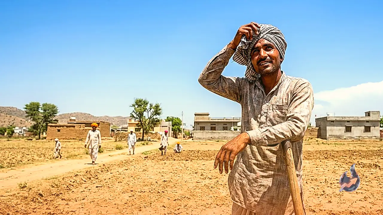

















Monsoon momentum across Rajasthan is experiencing a notable deceleration, leading to a spell of predominantly dry weather across most districts. According to the latest weather bulletin issued by the India Meteorological Department (IMD), the majority of the state will witness clear skies and dry atmospheric conditions on August 29. However, isolated pockets in eastern and southern Rajasthan may experience localized light rainfall or brief drizzles. In a reassuring update for residents and travelers, the meteorological department has not issued any severe weather alerts, heavy rainfall warnings, or thunderstorm advisories for any district in Rajasthan for August 29. Current meteorological indicators suggest that no major spell of widespread precipitation is likely to develop across the region in the immediate days ahead.
Regional Weather Breakdowns for August 29: Rainfall and Dry Zones
The weather outlook across Rajasthan on August 29 shows a distinct contrast between eastern and western regions. In eastern Rajasthan, scattered light rain or slight drizzles accompanied by partial cloud cover are expected in isolated areas within the Bharatpur, Kota, and Udaipur divisions. Similarly, localized weather development may bring light showers to southern Rajasthan, particularly across the districts of Udaipur, Banswara, Dungarpur, Salumbar, and Pratapgarh. Cloud formation in these hilly and tribal belts is expected to remain restricted to specific pockets without escalating into heavy rain.
Conversely, major urban centers including Jaipur and Ajmer, along with central and northern parts of the state, are unlikely to see any widespread rain activity. In western Rajasthan, dry weather conditions will dominate entirely. Districts across the desert belt, including Bikaner, Jodhpur, Jaisalmer, Barmer, Balotra, Churu, Hanumangarh, Sriganganagar, Nagaur, Pali, Phalodi, and Jalore, are expected to remain completely dry with bright sunshine throughout the day. No significant weather system is forecasted to bring rain to these western districts in the short term.
Meteorological Systems Analysis: What Caused the Weakening
Meteorologists attribute the current monsoon lull in Rajasthan to the gradual fading of atmospheric depressions over northern India. A low-pressure area over northeastern Uttar Pradesh and its adjoining regions remains active, associated with a cyclonic circulation that extends up to 4.5 kilometers above sea level. However, weather models indicate that this system will weaken and become less defined over the next 24 hours. The dissipation of this key system directly reduces the influx of moisture-laden winds into Rajasthan, leading to a drop in precipitation levels.
Furthermore, the main monsoon trough line is currently passing through Amritsar, Dehradun, Kheri, the center of the low-pressure area in northeastern Uttar Pradesh, Madhupur, and Banka, extending toward the northeastern Bay of Bengal. In addition, an upper air cyclonic circulation persists over northern Haryana and its neighborhood at an altitude of 0.9 kilometers. Meanwhile, a Western Disturbance is operating as a trough within the mid-tropospheric westerlies. Its axis is positioned at an altitude of approximately 5.8 kilometers above sea level, along 75 degrees East longitude and north of 29 degrees North latitude. Together, these systems are failing to push significant moisture into Rajasthan.
Temperature and Humidity Trends: Sriganganagar Hits 41.4°C
During the past 24 hours, eastern Rajasthan recorded light to moderate rainfall at isolated places. In contrast, the absence of rainfall across western Rajasthan has led to a sharp increase in daytime temperatures, particularly in border districts. Maximum temperatures across the western border belt hovered between 39 degrees Celsius and 41 degrees Celsius over the last day.
Sriganganagar recorded the highest maximum temperature in the state at 41.4 degrees Celsius, making it the hottest location during this period. Average relative humidity across Rajasthan fluctuated between 40 percent and 90 percent. With monsoon activity subsiding, clear skies and intense solar radiation are projected to drive daytime temperatures higher across several districts. This environmental shift will lead to an increase in daytime heat and uncomfortable humidity levels for residents across western and central Rajasthan.
One-Week Outlook and Anticipated Monsoon Revival in September
The medium-range forecast by the IMD indicates that weak monsoon conditions will persist across Rajasthan for the next week. Districts falling under the Bikaner, Jodhpur, Ajmer, Udaipur, Jaipur, Bharatpur, and Kota divisions are expected to experience largely dry weather during this seven-day period. Rainfall during this week will remain confined to very isolated, light spells in parts of eastern Rajasthan, with no major weather disruptions expected.
However, atmospheric conditions are expected to shift positively with the onset of September. According to the IMD, rainfall activity is slated to pick up again starting September 3 and September 4 across parts of eastern and northern Rajasthan. Furthermore, a broader expansion in monsoon rainfall is anticipated between September 4 and September 7 across several areas of eastern Rajasthan. Until this mid-September revival, the state is expected to endure warm, humid, and predominantly dry weather conditions.