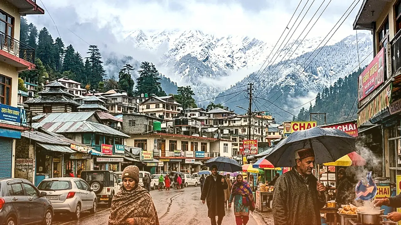




















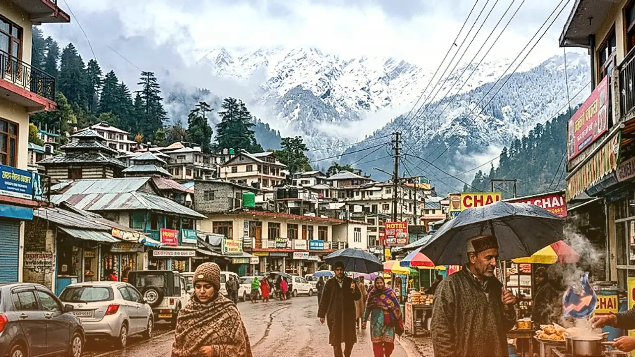

A sudden shift in weather patterns has swept through Uttarakhand immediately following the withdrawal of the southwest monsoon, bringing an unseasonal chill across both mountainous ridges and foothill plains. Pristine white snow has covered the higher Himalayan reaches, while intermittent showers in several districts have prompted residents to unpack heavy woollen clothing weeks ahead of schedule. Crisp northerly winds descending into the valleys have abruptly ended the transitional post-monsoon warmth, making mornings and evenings noticeably cold throughout the state.
High Himalayan Summits Record Fourth Snowfall of the Season
The border district of Pithoragarh witnessed intense winter activity as high-altitude outposts including Jyolingkong, Kalapani, and Nabhidhang experienced substantial snow accumulation. This marks the fourth distinct snowfall event of the current season across these remote border regions. The sustained blizzard conditions pushed ambient temperatures near the freezing mark across forward valleys. Having commenced in the post-noon hours, the snow continued falling until late evening, sending icy draughts down into inhabited lower valleys and dramatically altering local living conditions.
Showers in Dehradun and Rishikesh Bring Down Mercury
Lower down in the foothills, capital city Dehradun experienced an overcast Sunday on 11 October, followed by sharp afternoon showers that cooled the urban atmosphere. Dehradun touched a daytime maximum of 26.4 degrees Celsius before the rain brought a sharp drop in warmth. The prolonged spell of afternoon precipitation left the capital basin wrapped in noticeable coolness. Concurrently, the pilgrimage town of Rishikesh was lashed by brisk rains, which swept across the riverbanks and triggered gusty cold winds, altering the outdoor climate well before sunset.
Steep Temperature Drops in Tehri and Almora Felt Across Plains
The sharpest thermal drop occurred across the middle hills of Tehri and Almora. Over a brief span of two days, daytime mercury across both districts plunged by 6 to 7 degrees Celsius. The climatic impact was not confined to hill stations alone; plains districts such as Haridwar and Udham Singh Nagar felt a distinct coolness in the air as cold downdrafts swept out of the Himalayan foothills. Coupled with patchy drizzles in the plains, the overall weather in mid-October resembled conditions typical of late November.
Overcast Skies and Morning Chill Across Uttarkashi
In the border district of Uttarkashi, dense cloud cover dominated the sky from the early morning hours of 11 October. The district has contended with unstable weather over recent days, characterized by intermittent light precipitation and brisk winds. This persistent instability has increased morning and night shivering across the district headquarters as well as the surrounding rural valleys of the Bhagirathi river basin. Residents in both high passes and valley floors have increasingly turned to winter layers to cope with the steep overnight temperature drop.
Extended Weather Outlook Across Districts Up to 17 October
For 12 October, light to very light precipitation is forecast across scattered pockets of Dehradun, Tehri, Uttarkashi, Chamoli, Rudraprayag, Bageshwar, and Pithoragarh. High-altitude locations situated at or above 3500 meters are set to witness snow flurries alongside convective thunder and lightning activity. While meteorological authorities at Dehradun have issued no severe weather alerts for heavy rainfall, colder conditions are projected to linger across mountain tracts.
The extended forecast indicates that on 13 October, light showers alongside snowfall above 3500 meters will likely impact Dehradun, Tehri, Uttarkashi, Chamoli, Rudraprayag, Bageshwar, Nainital, and Pithoragarh, while remaining districts remain dry. On 14 October, isolated showers and snow above 3500 meters are expected only in Uttarkashi, Chamoli, Rudraprayag, Bageshwar, and Pithoragarh. Similar patterns continue on 15 October with high-altitude snow and localized showers across Dehradun, Uttarkashi, Chamoli, Rudraprayag, Bageshwar, and Pithoragarh. By 16 October, convective activity is projected to yield light to moderate rainfall across parts of Kumaon division and scattered zones of Garhwal division, with snow levels rising to elevations of 3800 meters and above. Finally, on 17 October, light precipitation and snow flurries above 3800 meters will remain confined to Uttarkashi, Chamoli, Rudraprayag, Bageshwar, and Pithoragarh, leaving the remainder of Uttarakhand under dry skies.